The weather app on your phone is not enough.
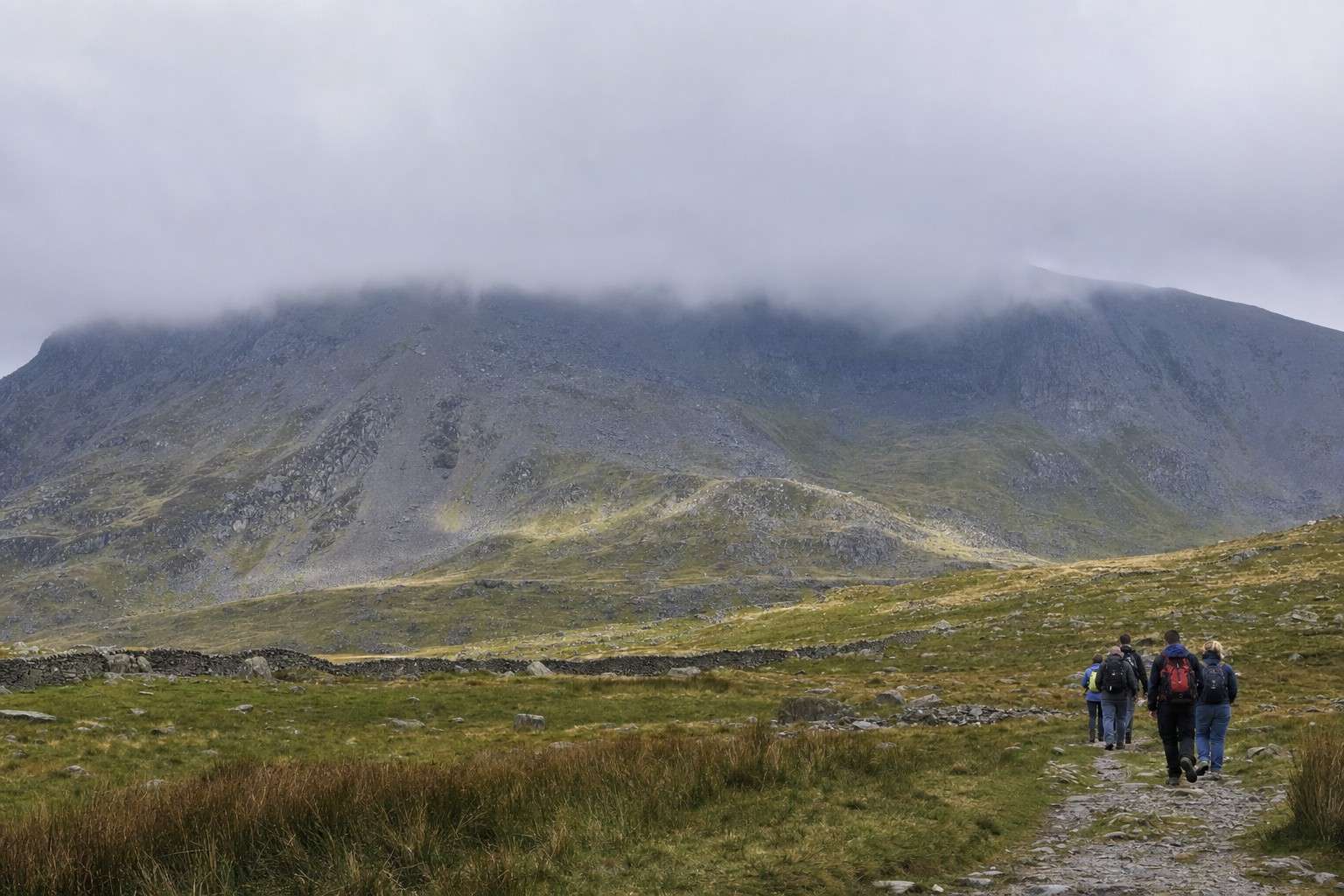
It might show sunshine and a light breeze for Llanberis. The summit of Snowdon could be in thick cloud with a 40 mph wind, and a temperature that feels several degrees below zero. That gap between the valley and the tops is real, and it catches people out every year.
Checking the right forecast takes ten minutes. It is the most useful ten minutes of your preparation.
Where to look
One source stands above the rest: the Met Office mountain weather forecast for Snowdonia/Eryri.
The Met Office publishes a dedicated mountain forecast for the Snowdonia area. It is written specifically for the high ground, not the valley towns.
It covers the things that actually matter on a walk: wind, cloud base, temperature and visibility at summit level.
Do not rely on a general weather app or a town forecast for a mountain day. Those are designed for people staying at sea level. Use the Met Office mountain forecast instead.
Wind: the biggest hazard on the hill
Strong gusts on a ridge are the most dangerous weather condition most walkers will face.
Wind on a narrow ridge feels very different from wind at the car park. A steady 30 mph is unpleasant and tiring. A 50 mph gust on a ridge like Bwlch Main on the Rhyd Ddu Path can knock you off your feet.
The forecast gives wind speed at summit level, usually in mph. A rough guide:
- Under 25 mph: fine for most walkers.
- 25 to 40 mph: expect to lean into it; tiring on exposed ground.
- Above 40 mph: consider changing route or turning back. Narrow ridges and the final pull to the summit become genuinely hazardous.
Gusts are worse than the sustained speed suggests. If the forecast mentions gusts significantly above the average wind speed, treat the gust figure as the real number.
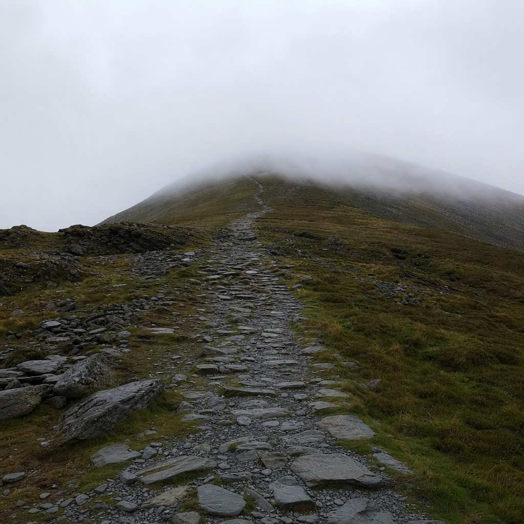
Cloud base: will you see anything?
If the cloud base sits below the summit, you will be walking in cloud with no view and harder navigation.
The cloud base is the height at which cloud begins. Snowdon’s summit is at 1,085 metres.
If the forecast gives a cloud base of 800 metres, the upper third of the mountain will be in cloud. You will see nothing, path markings become less obvious, and route-finding requires more care.
None of that means you cannot go. Many people walk Snowdon in cloud and enjoy it. But it changes the day.
If the cloud base is at or above the summit, you are likely to get the views. Below 600 metres, the whole walk above the lower paths will be grey.
Poor visibility in cloud is where navigation matters most. If you have not walked the route before, a low cloud base is a good reason to carry a paper map and know how to use it, even on a well-worn path.
Temperature and wind chill
The summit is always colder than the car park. Always.
As a rough guide, the Met Office notes that temperature drops by around 6 to 8 degrees Celsius for every 1,000 metres of altitude gained, before wind chill.
A mild 15 degrees in Llanberis car park might feel closer to 7 or 8 degrees on the top.
Wind chill brings that number down further. At 30 mph wind in 7 degree air, the effective temperature feels closer to 0. That is why warm layers matter even on a sunny summer day, and why the what to pack for a day in Snowdonia guide puts insulation near the top of the list.
Check the summit temperature in the forecast, not the town temperature.
Reading the cloud on the day
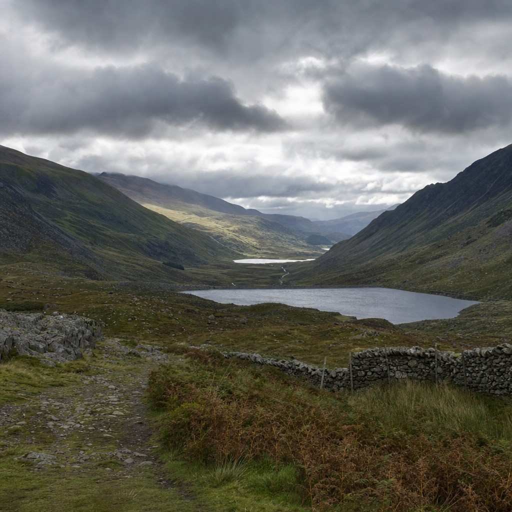
Sometimes you do not need a forecast to tell you the summit is in cloud. You can see it from the road.
A thick cap of grey sitting on the top of Snowdon, or cloud streaming off the ridges, means the upper mountain is already in cloud and wind. A clear summit with cloud well above it is a good sign.
One thing to watch: fair-weather cloud can build quickly through the morning on warm days.
A clear 8am does not guarantee a clear 1pm. If the forecast mentions convective cloud building in the afternoon, be on your way down before it arrives.
Rain and visibility
Rain in itself is manageable with the right kit. The combination of rain and wind and poor visibility is harder.
The Met Office mountain forecast gives expected precipitation and visibility at summit level.
If visibility is forecast below 200 metres, you are in true hill fog. In those conditions, the main paths on Snowdon are still followable for most walkers, but any exposed ridge or off-path ground becomes serious.
If you are new to the mountain, save the more complex routes for a day with good visibility. Choosing which path up Snowdon suits you partly comes down to how confident you are in the conditions you will actually face.
When to change the plan or turn back
There is no shame in picking a different day. Turning back or not going is a decision made by experienced walkers too, not just beginners.
A few clear reasons to reconsider:
- Wind gusts above 40 mph at summit level.
- Visibility forecast below 100 metres and it is your first time on the route.
- Electrical storm forecast in the area.
- The cloud has come right down and you have no map or navigation skills.
On the day, trust what you see and feel more than what you expected the morning to be.
If the cloud is dropping fast, the wind is stronger than forecast, or someone in the group is struggling, turning around is the right call.
The mountain will be there next week.
Checking before you go is what makes the difference
Knowing the forecast gives you control over the day. It lets you pack the right layers, choose the right route, and set a sensible turnaround time. It does not add worry. It removes it.
The walkers who get into difficulty in Snowdonia are rarely the ones who checked the Met Office mountain forecast, understood what they were walking into, and prepared accordingly.
Check the forecast the evening before, then check it again on the morning. Ten minutes spent on the right source is ten minutes that shapes the whole day.
Leave a Reply