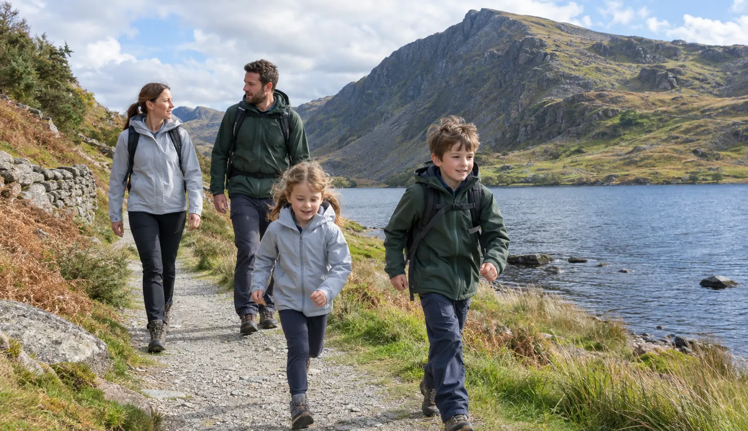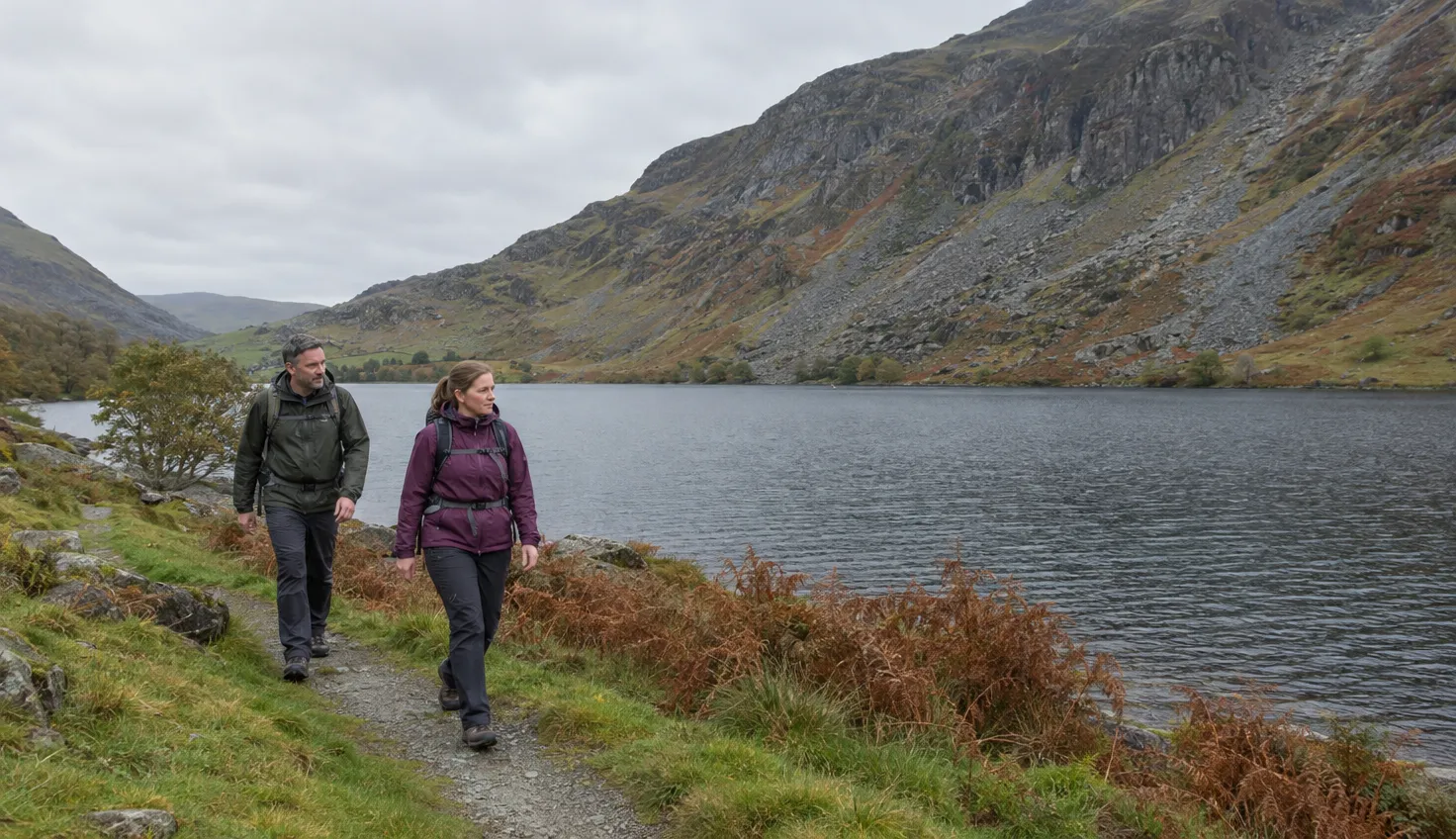
Tal-y-llyn is a lake below Cadair Idris, also called Llyn Mwyngil. It is not the Talyllyn Railway, whose steam engines run from Tywyn to Nant Gwernol.
Walking Englishman’s lake circuit is an easy 3.8 miles (6.2 km), with 209 m of climbing and about 2 hours of walking.
A fit walker can add the climb to Llyn Cau, a mountain lake reached from the Dôl Idris car park.
We compile and explain public route and safety information. We guide nobody and sell nothing on the hill.
The lake circuit
Walking Englishman grades the circuit Easy and starts it from Tal-y-llyn village. The lake is a 220 acre ribbon lake (a long, narrow lake).
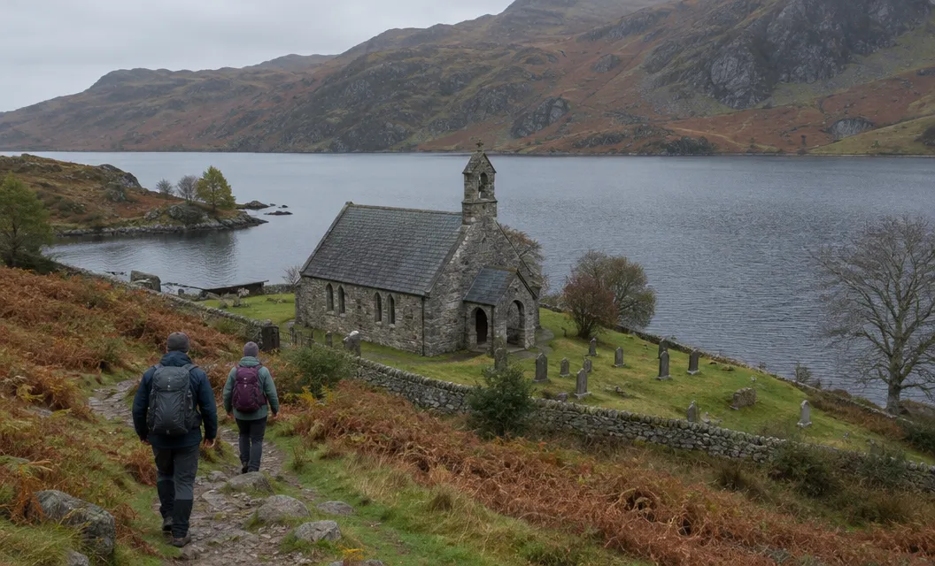
St Mary’s Church stands in the village on an ancient site, and part of the present building dates back to the 13th century.
Other guides measure other circuits:
- GPS Routes: 2.5 miles (4 km) for the waterside walk.
- Komoot: 4.89 km from Dolffanog Fawr, of which 4.12 km is road.
Road, path and the boggy fields
Expect traffic on the B4405 and wet ground in the fields.
Part of the way is a tarmac road, and the two fields at the end of the lake are extremely boggy, says the walking blog Walking Away.
Dolgellau.Wales asks walkers to be wary of the traffic on the far side of the lake, the B4405.
A footpath sign just after the lake ends marks a cut across the fields. It rejoins the quiet road.
A shorter option is the quiet road, then the B4405 for the final quarter of a mile.
Where to start
- Tal-y-llyn village: Walking Englishman starts here, at grid reference SH 71044 09417.
- The hotel car park: the Ty’n y Cornel Hotel stands on the shores of the lake and has a car park (2024).
- Dôl Idris: a car park about a mile along the main road from the lake, managed by the Eryri National Park Authority.
Dôl Idris charges for parking and accepts card payments only (October 2026).
For Dôl Idris, turn onto the B4405 from the A487. The entrance is immediately on the right, at grid reference SH 732 115.
The car park has accessible toilets, accessible picnic tables, a visitor centre and a seasonal tea room. A 1.25 km accessible parkland path takes 0.75 hours.
The T2 bus between Aberystwyth and Bangor stops at “Minffordd, Hotel for Cader Idris”.
GPS Routes mentions a lakeside hotel at the south western end where you can get a Welsh cream tea.
The climb to Llyn Cau
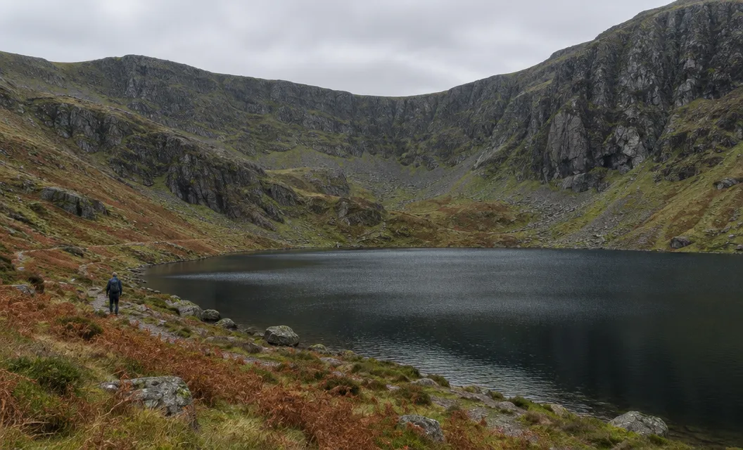
The Llyn Cau walk from Dôl Idris is 3.7 miles (6 km) there and back.
GPS Routes suggests it as the way to extend lakeside walking. It calls it “still quite a challenging walk”, though not as strenuous as the longer climb to the summit.
The Park’s route sheet gives these steps from the car park:
- Kissing gate. Go through the kissing gate by the toilets at the far end of the car park.
- Bridge. Continue past the visitor centre and over the bridge.
- Steep climb. Go through a small gate at the bottom of the steps, then make a steep climb.
- Open mountain. Go through another small gate in a dry-stone wall, to the end of the forest and open mountain land.
- First fork. After about 200 m, at the first fork, bear left with the river on your right. Do not cross the bridge.
- Second fork. Go left round a marshy area, then follow the stone-pitched path uphill to a second fork.
At the second fork, the path to your right leads to Llyn Cau and the path to the left aims towards the summit.
Natural Resources Wales says the Gorge Climb, which follows part of the Minffordd Path, climbs 140 m one way. It has many flights of stone and timber steps.
Sheer cliffs, a thousand feet tall at one point, almost encircle Llyn Cau, one of Wales’ deepest natural lakes.
The Park grades the full Minffordd Path to the summit Hard/Strenuous. It goes through Cwm Cau, where Llyn Cau lies, and the climb to the summit has its own guide.
Choosing between the lake and Llyn Cau
If cloud is down on the cliffs, walk the lake instead of climbing to Llyn Cau.
- Low cloud, rain or tired legs: walk the lake.
- Clear weather and strong legs: climb to Llyn Cau.
- For a longer walk: Dolgellau.Wales joins Llyn Cau, Mynydd Pencoed and the lake in 9.2 miles, or 7.2 miles without the lake circuit. The full walk has 2,900 feet of ascent.
Check the mountain forecast before you leave the car park.
For a flat walk nearer Dolgellau, try the Mawddach Trail. For Dolgoch Falls on the railway’s line, see the waterfalls of Snowdonia.