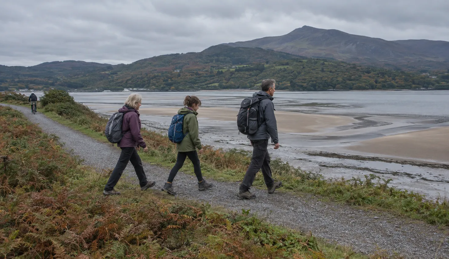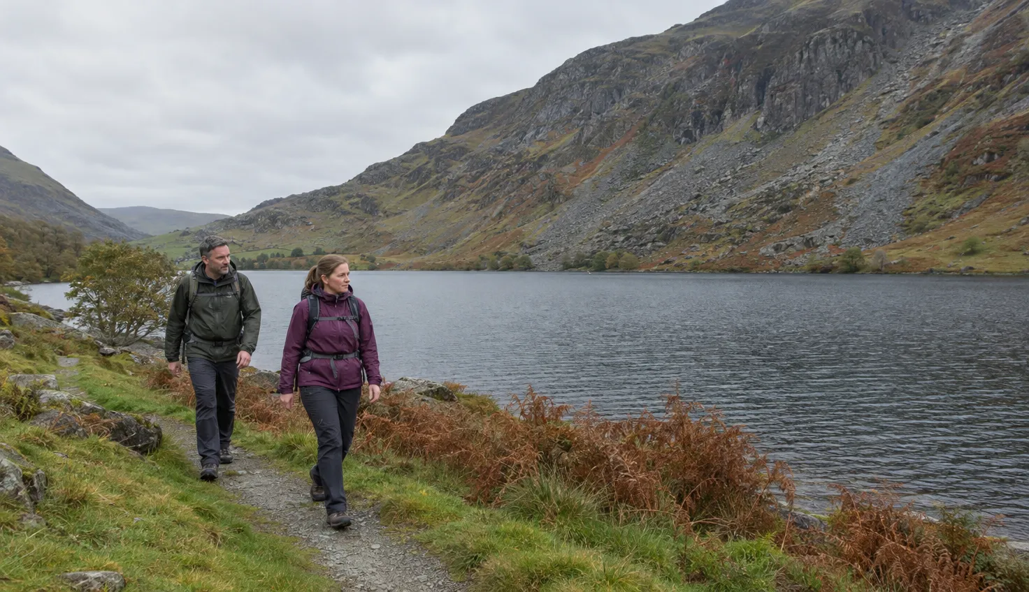
The Eryri National Park Authority grades the Panorama Walk Hard/Strenuous. It is a circuit of 6.5 km (4 miles) that takes about 3 hours.
The official walk starts at the Park car park above Barmouth, grid reference SH 625 166, and does not cross Barmouth Bridge.
The Authority says the circuit is not suitable for novice walkers. Expect steep climbs and ground that can be very wet underfoot.
The short walk to the viewpoint
The car park is 1 mile from Barmouth, up a narrow road above the town. The first section, up to the viewpoint, is easy and very suitable for young families.
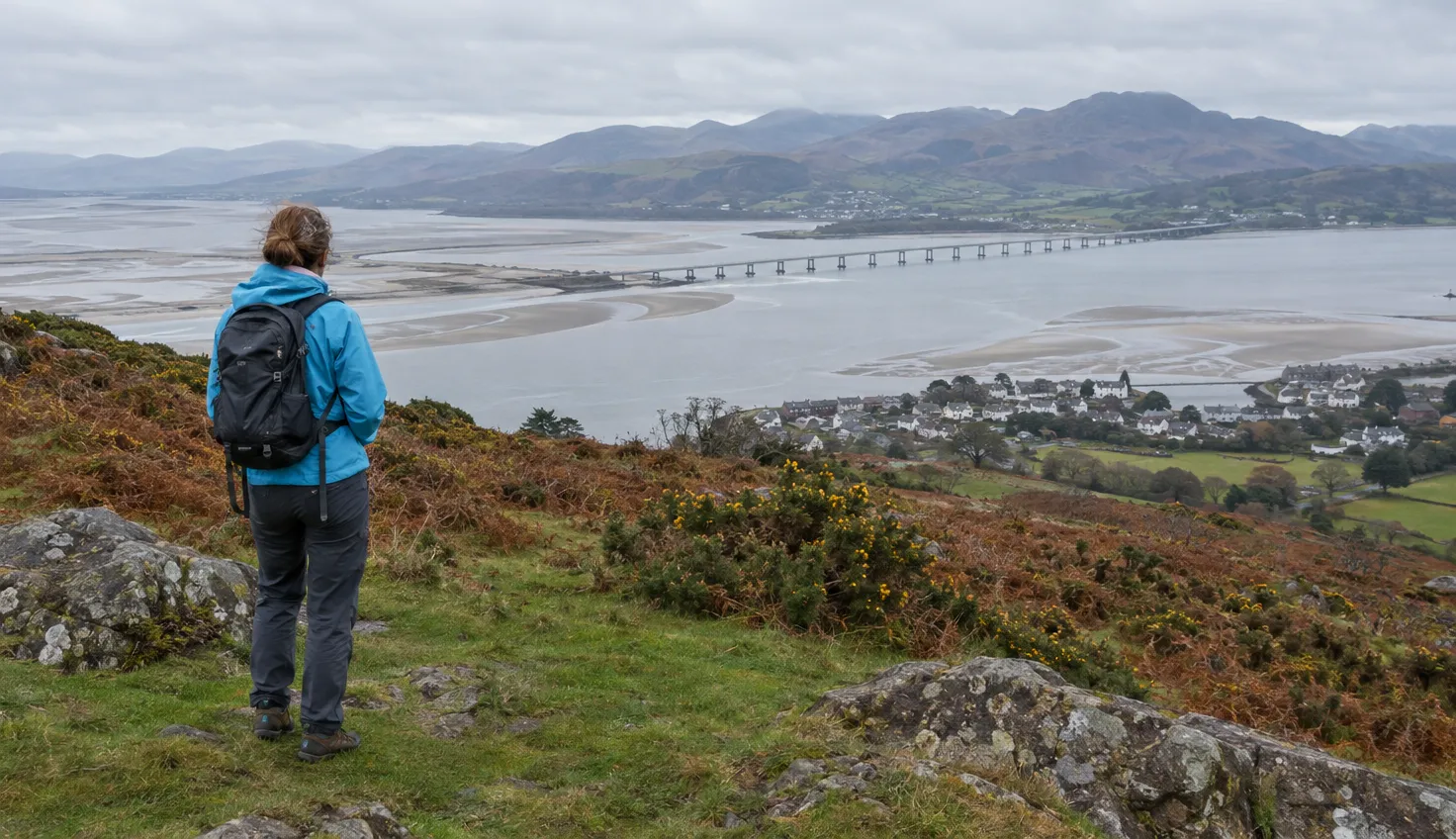
Viewpoints along the walk look over the Mawddach Estuary, the Cadair Idris range and Cardigan Bay. The best panorama is from the top of a rocky crag at the end of the path.
For young children, new walkers or a short day, walk to the viewpoint and return the way you came.
If you are low on time, park at the top of Panorama Road and head straight to the view point.
The full circuit
Walking boots and waterproof layers are essential. The map is OS Explorer OL23 (Cader Idris and Llyn Tegid). Other sections are very steep, and waterproof footwear is needed.
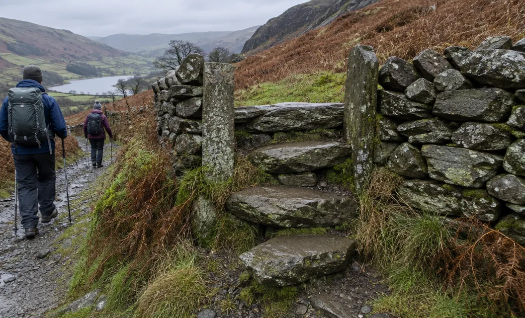
The circuit runs in this order, as the Park’s route PDF sets it out:
- Trail signpost. Walk down the road from the car park towards Barmouth. Turn left at the Panorama Trail signpost onto a grassy path.
- Up to the viewpoint. Follow the old road into woodland, through two gates, then take the path up to the viewpoint.
- Around the rock. Keep left as you climb through the trees to the top of the rock. Go round it and down a narrow path to the old-road gate.
- Down to Cutiau. Turn right along the old road, about 1 km down to Cutiau, passing the old Victorian gardens on your right.
- Steep woodland. Climb through Cutiau, past a chapel, onto a narrow path that climbs steeply through the woods.
- Radio mast. Follow the road for about 100 m, then the footpath towards the radio mast.
- Final climb. Take the obscure path that climbs steeply to Bwlch y Llan.
- Return loop. Join the Taith Ardudwy path, follow the track to Gellfawr farm, pass the Garn, and take the road back to the car park.
Bwlch y Llan is just over 300 m, and the path to it is obscure.
Past the Garn, cross the last stile of the walk and follow the road down to the car park.
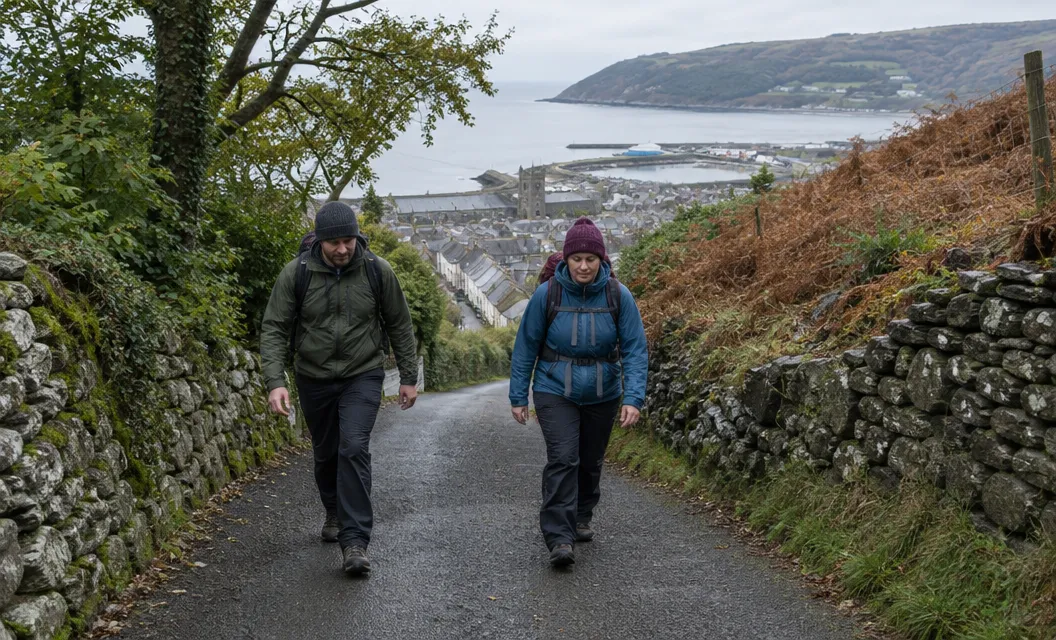
Starting from Barmouth
Longer rounds start in the town. Mud and Routes gives 9.98 km, 596 m of ascent and 4 hours from the station.
10Adventures gives 10.5 km and 3 to 4.5 hours from the beach car park, and rates its signage as poor.
Barmouth has facilities and the route has none. The Park’s circuit ends at the car park, so a start in town needs its own way home.
A little history
The walk is a well-made late Victorian footpath, about 2 km east of Barmouth. It once passed a tea room and “pleasure grounds”.
Which walk to choose
The Hard/Strenuous grade belongs to the full 6.5 km circuit, not to the walk to the viewpoint.
Choose the full circuit only if steep climbs, an obscure path and very wet ground sound manageable.
If neither suits, Eryri names the Mawddach Trail, on the estuary’s southern shore, as the more accessible option. It lists the trail as Access for All, one way, 15 km, 6 hours.
A different walk with Mawddach views is the Precipice Walk near Dolgellau.
We compile and explain public route and safety information. We guide nobody and sell nothing on the hill.
Park at SH 625 166, wear boots, walk up to the viewpoint, and decide there whether to carry on.