The word “precipice” suggests a sheer drop, but the Eryri National Park Authority, the body that runs the national park, grades the Precipice Walk as moderate, with little climbing and descending.
It is a circular walk of 3.1 miles (5 km), and the Park gives it around 2 hours.
The path is still a countryside path, not a pavement. Parts of it are steep or unsurfaced.
What moderate means if heights worry you
The Authority describes this grade as suitable for people with some countryside walking experience and a reasonable level of fitness.
Its description of the terrain is short: some steep or unsurfaced paths in the open countryside. The page also says the path stands at 800ft above sea level, with little climbing and descending along the route.
For a nervous walker, the facts to act on are a moderate grade, little climbing and descending, and some steep or unsurfaced paths.
The Park also calls it a good option for an adventurous family outing. Walkers comparing options can set it beside the beginner-friendly walks beyond Snowdon.
The Park says walking boots and waterproof layers are essential, and both are on the kit list for a day walking in Snowdonia.
Where it starts
The walk starts and finishes at Saith Groesffordd car park, Llanfachreth (grid reference SH 746 212). The map to carry is OS Explorer OL18, which covers Harlech, Porthmadog and Bala.
There are toilets at the car park, and the Authority says to check when they are open.
It also asks walkers to park in designated places and never where they would block field entrances or residential areas.
The Park lists the route as popular.
Out of the car park and up beside the wall
Start near the Saith Groesffordd sign and turn right to follow the Precipice Walk route. After 250m, follow the path to the left, then continue a further 300m, again to the left, past Gwern Offeiriad house.
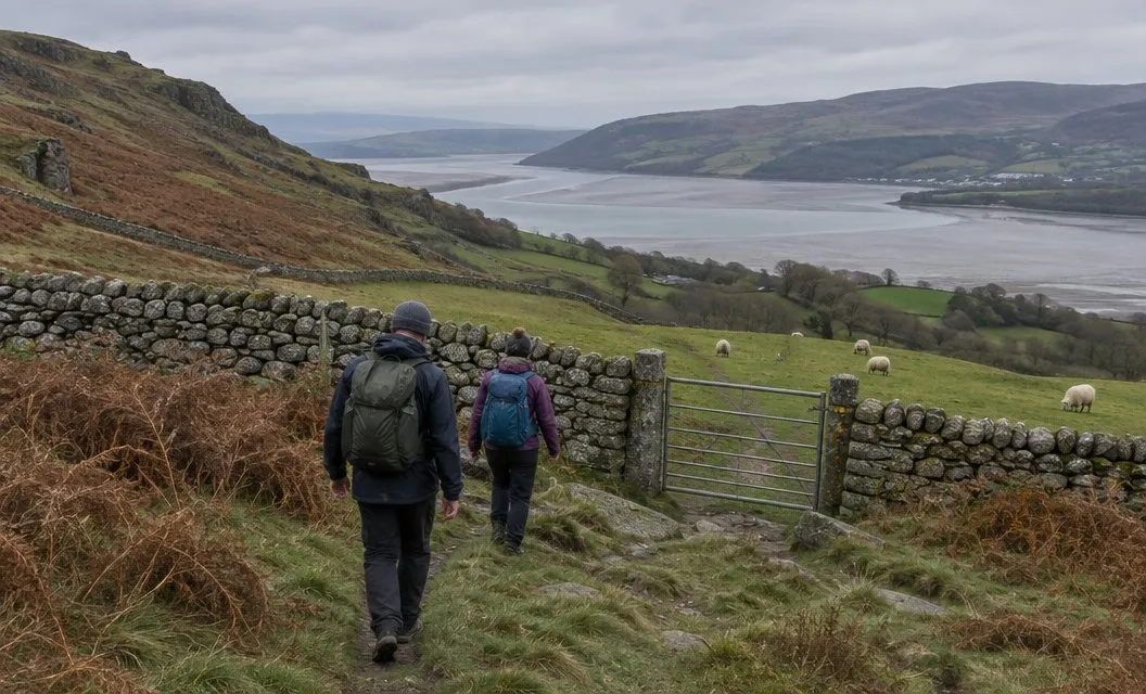
The path then climbs and bends right through a wood.
After 100m, a gate opens onto a field.
Follow the path towards Llyn Cynwch and turn right, up the hill. From here the stone wall is the line to follow.
The wall is lined with several ancient oak trees. The Authority’s route leaflet notes that important populations of lichen and moss grow in the parkland on the right.
The gap in the wall and the Mawddach below
After 350m, pass through a gap in the wall. Views open to the north, over Coed y Brenin.
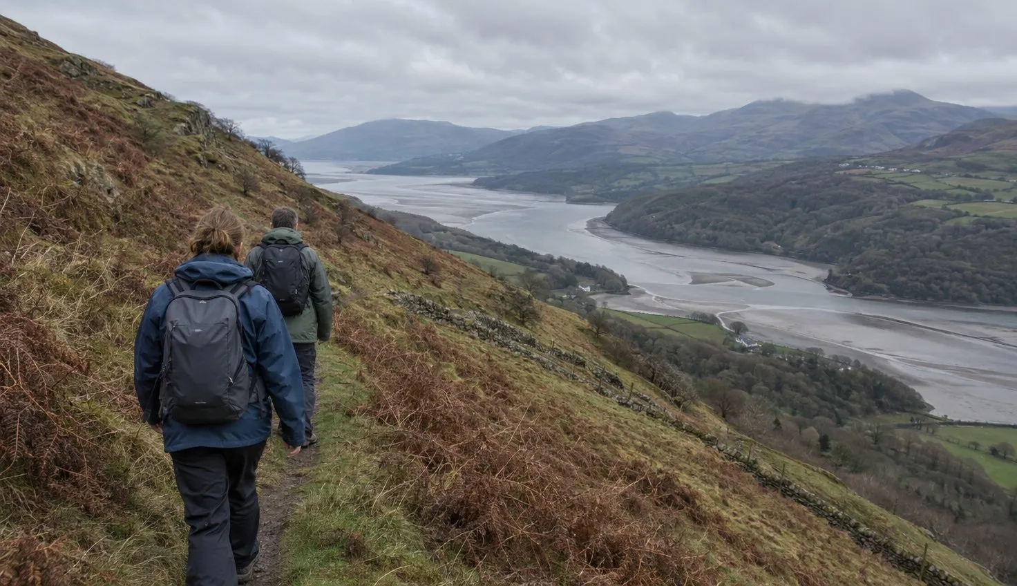
Take the path to the left at the signpost leading to the old copper-mine. Then follow the path for 1km until you reach a wooden gate, with the river Mawddach below you.
The views carry on all round. The Park lists Eryri and the Moelwynion to the north and the Rhinogydd to the west. To the south and east you can pick out Cadair Idris, the Aran and Arenig.
Gates, then down to Llyn Cynwch
Go through the wooden gate and keep following the path through the gate in the stone wall. After 500m, go through a gate in another stone wall and continue down to Llyn Cynwch.
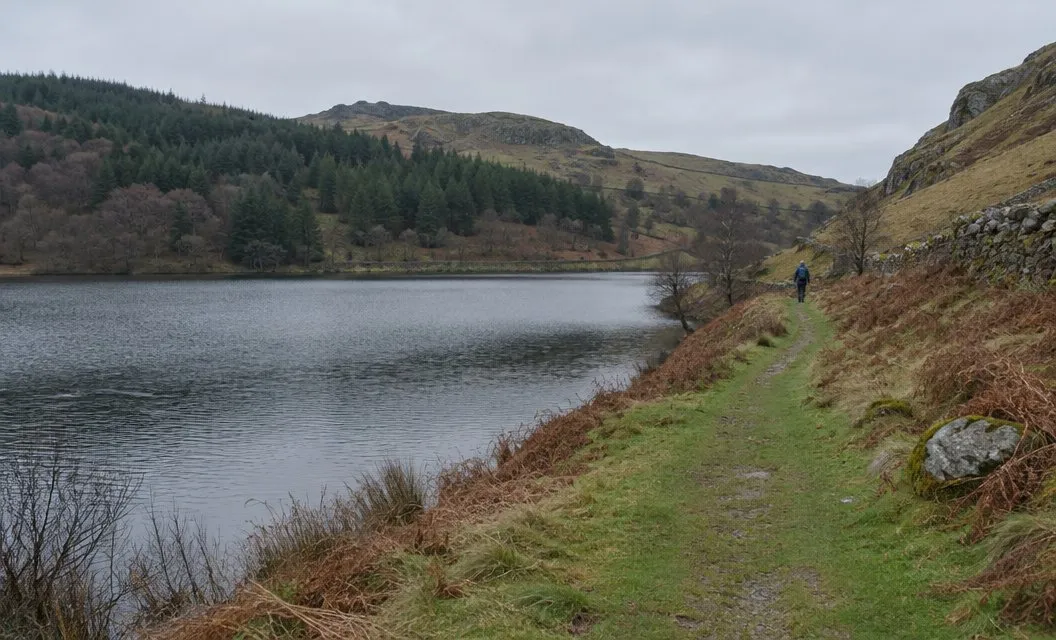
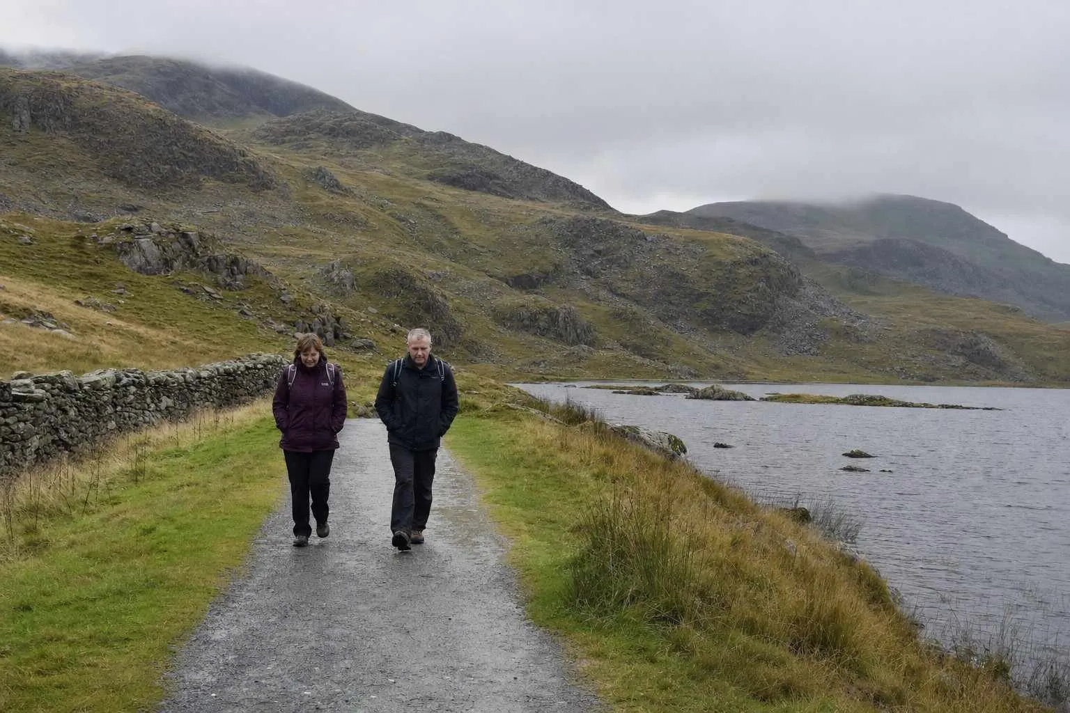
At the lake, turn left and follow the path around its northern edge. At the end of the lake you rejoin the path you started on, and it leads back to the car park.
Llyn Cynwch is a working reservoir that supplies nearby Dolgellau with water.
On its southern side stands the mansion of the Nannau estate.
The present house was built in 1796, on an estate the Park says dates back to the 12th century.
The terms of access
This walk does not follow a public footpath. It crosses private land, and the Nannau estate has invited the public to use it since 1890.
The invitation carries three conditions. Walkers are asked to observe the Country Code, follow the route indicated and use the proper access. The Authority also asks you to keep dogs on a lead.
We compile and explain public route and safety information. We guide nobody and sell nothing on the hill.