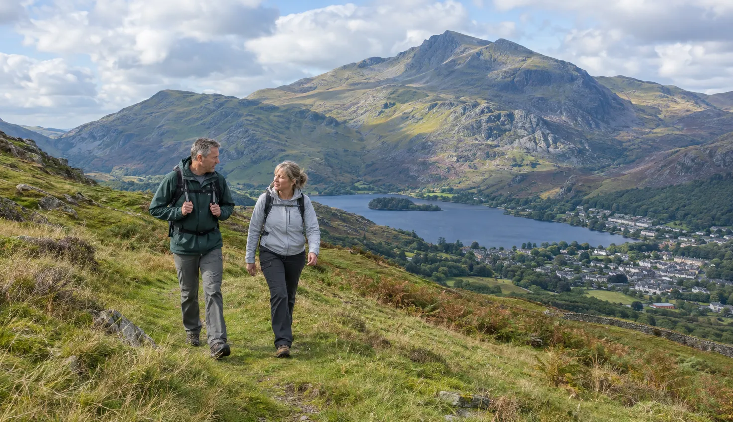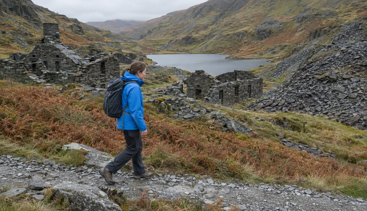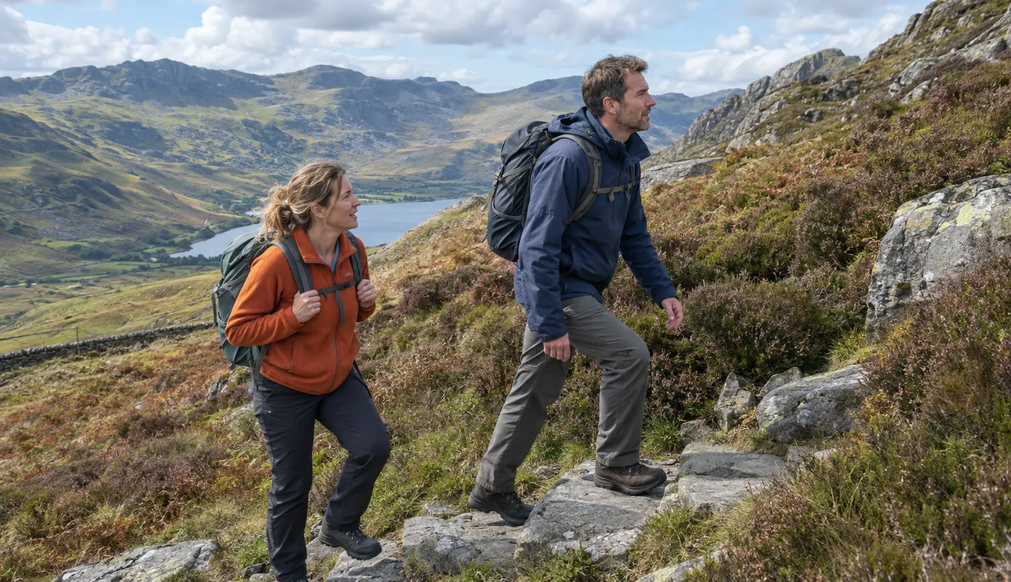
The circuit from Cwm Bychan is only 5.0 miles (8.1 km), with 585 m of ascent, yet Walking Britain gives it 4 hours 10 minutes. Plan on about five hours.
Get Lost Mountaineering’s slightly longer 9 km line takes about five.
It is graded moderate to hard, and the Rhinogs have a reputation for hard walking.
It suits an experienced walker with boots, a map and compass, and a clear forecast.
The start at Cwm Bychan
The walk starts from the car park at the head of Cwm Bychan, above Llanbedr.
A minor road from Llanbedr on the A496, a few miles south of Harlech, leads there. It is a long, narrow road.
This is not the Cwm Bychan near Beddgelert.
- Grid reference: SH645314
- Postcode for a satnav: LL45 2PH
- Map: Ordnance Survey Explorer OL18
The Roman Steps
The Roman Steps are not Roman. Natural Resources Wales (NRW) calls them a medieval pack-horse trail.
The path climbs through woodland first. Then it enters a vast natural rockery, on flagged stone steps.
The steps cross Bwlch Tyddiad, a pass cut by ice in the Ice Age.
Progress is fast despite the climb. This is the easy part of the day, and it ends at the col.
Where the miles turn slow
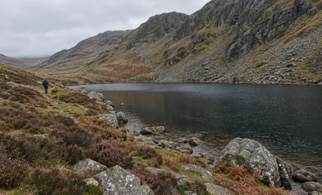
If you lose the path, off-path walking is energy sapping and slow going.
From the col, stay on the main path for about 200 yards. Then look for a narrower path, partly hidden in knee-deep heather, that leads to Llyn Du.
At Llyn Du, stay on the northern shore and hop across the boulders at the water’s edge. Keep out of the deep water in the lake.
After a wall and some rock slabs comes a rough gully, where hands are needed on a short section. It leads out onto the summit plateau.
If you lose the path, stop and look for it again before you push on through the heather.
The summit
A large cairn marks the top at 720 m, and Get Lost Mountaineering also records a trig point.
A trig point is a stone survey pillar.
In poor visibility, leave this hill for another day. The terrain is confusing, so check the mountain forecast first. The views are worth waiting for.
The way down
The easiest way down is the way you came up, down the flagged Roman Steps to Cwm Bychan.
The 5.0-mile circuit comes down by Gloyw Llyn instead.
Count the day backwards from sunset, and set a time at which you turn round whatever the summit looks like. Plan to be off the rough ground with daylight to spare: back at the col if you return the way you came, or down at Gloyw Llyn on the circuit.
The nature reserve underfoot
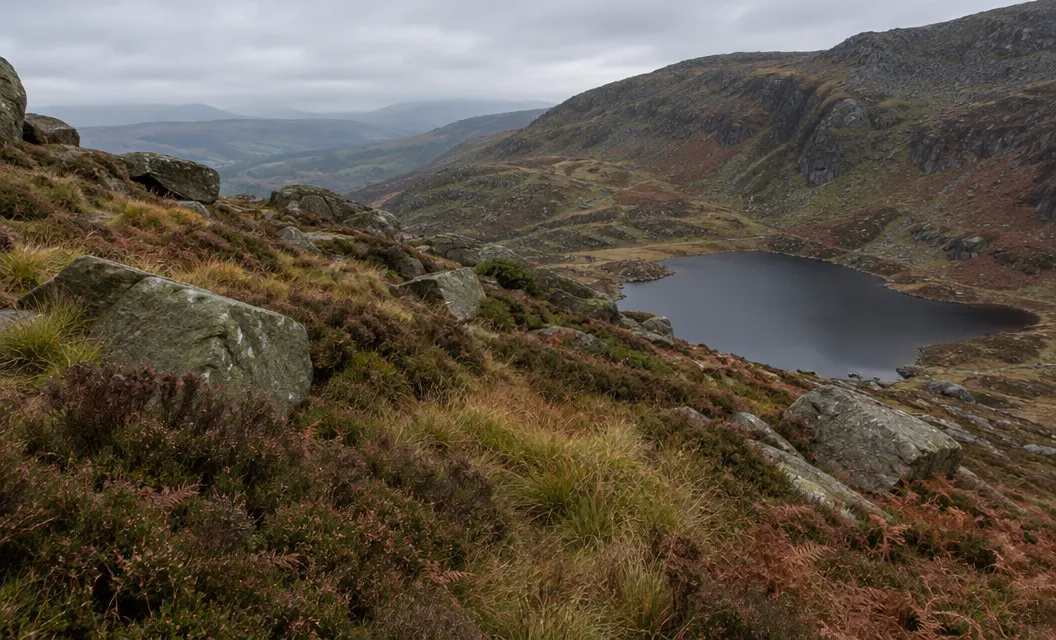
Most of Rhinog Fawr lies inside the Rhinog National Nature Reserve, in the Eryri National Park.
NRW describes the ground as a rugged clutter of angular rocks, enormous boulders and steep cliffs, with heather and bilberry between them. In July and August the heather turns a dark pink.
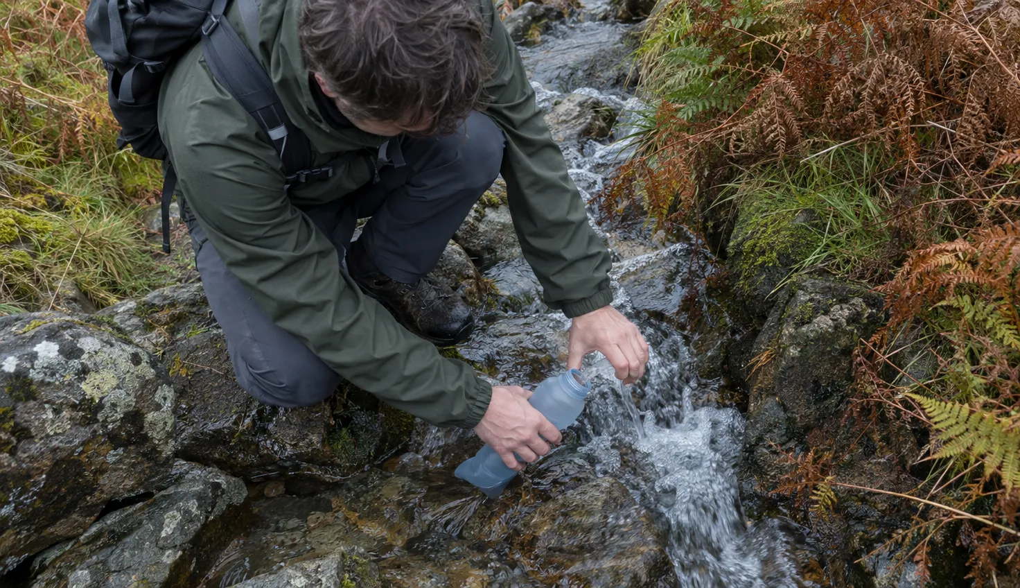
For anyone on the reserve, the advice is simple:
- Wear hiking boots.
- Carry a map and compass.
- Take waterproofs and layers for warmth.
- Take great care on steep slopes and cliffs.
If this is not the hill for you
If you want a clear path the whole way, this hill is the wrong choice.
If the heather sounds like too much, the Precipice Walk is another route to look at. For more hills in North Wales, see Aran Fawddwy and Arenig Fawr.
We compile and explain public route and safety information. We guide nobody and sell nothing on the hill.