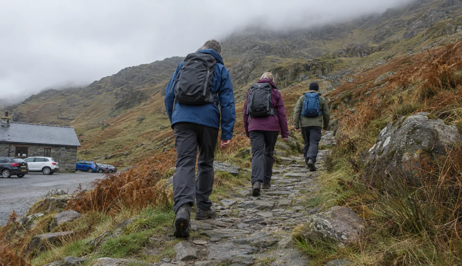
Pen-y-Pass is the highest point of the Llanberis Pass, the road that runs between the Glyder and Yr Wyddfa (Snowdon) mountain ranges.
The Pyg Track and the Miners’ Track both start there. To reach the Crib Goch ridge, you leave the Pyg Track.
As of 20 October 2026, the car park is on a pre-booking system until 1 November 2026. Plan to arrive with a booking, or on the bus.
Where Pen-y-Pass is
The Eryri National Park Authority, the public body that manages the park, describes Pen-y-Pass as the highest point of the Llanberis Pass.
The name translates as the head of the pass.
The car park is off the A4086, at grid reference SH647557. The road through the pass was built in the 1830s to carry ore from the Yr Wyddfa mines to Llanberis.
Miners carried that ore down the Miners’ Track to Pen-y-Pass.
The YHA, the youth hostel network, has a hostel here, at the foot of Yr Wyddfa and over 1,000ft above sea level.
Which path from Pen-y-Pass
Eryri says Pen-y-Pass is the access point to both the Miners’ and Pyg Track trailheads leading to the summit of Yr Wyddfa.
| Path | Who it suits |
|---|---|
| Pyg Track | Experienced, fit walkers at ease on steep, rocky ground |
| Miners’ Track | The same fitness, with less ascent than the Pyg Track |
| Crib Goch | Experienced mountain walkers only |
Eryri grades both tracks Hard/Strenuous. Crib Goch is rated by the British Mountaineering Council (BMC), the national body for climbers and hill walkers in England and Wales.
Eryri’s path-choosing guide says both tracks are shorter in distance but have much steeper ascents. Be comfortable with steep, rocky ground before you choose either.
None of the three is an easy route. Eryri says all routes to the summit are challenging hikes.
The Pyg Track
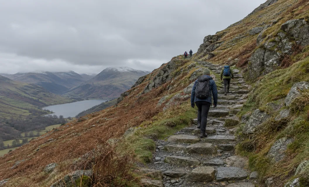
In Eryri’s description, the Pyg Track is among the shortest ways up Yr Wyddfa and one of the most rugged. It is a rocky path with several steep climbs.
It climbs to Bwlch y Moch, where the first view of Llyn Llydaw and its causeway opens up. It then merges with the Miners’ Track and joins the Llanberis Path at Bwlch Glas.
Eryri gives it 11 km there and back, about 6 hours, with 895 m of ascent.
Eryri’s description of the Hard/Strenuous grade, on its Pyg Track page, means experienced country walkers with a good level of fitness. Navigation skills are essential, and full hill walking gear is needed.
The Miners’ Track
Three lakes line the Miners’ Track: Llyn Teyrn, Llyn Llydaw and Glaslyn. Eryri says it was first built to serve the Britannia Copper Mine.
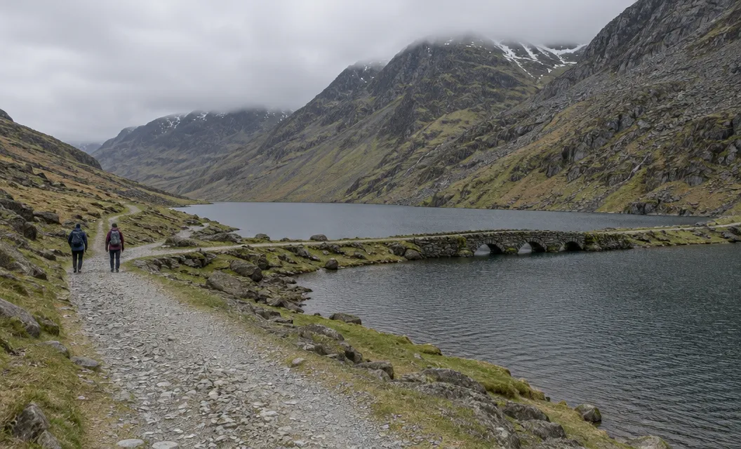
Eryri gives it 13 km there and back, about 6 hours, with 723 m of ascent. That is longer than the Pyg Track’s 11 km, with less climbing.
The lakes come first.
The last half of the route is a challenging and steep ascent over loose rock and scree, ending at the Llanberis Path.
Crib Goch
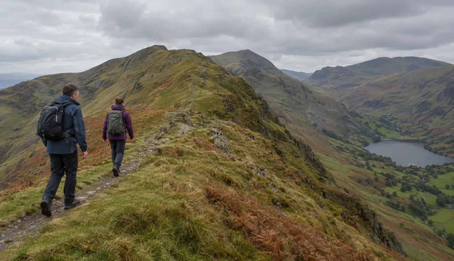
Crib Goch is a knife-edge ridge and a Grade 1 scramble with serious exposure.
Eryri’s Pyg Track page warns that the route up Crib Goch and along the ridge is extremely dangerous and should only be attempted by experienced mountain walkers.
Eryri adds that it is a knife-edge ridge with no escape route. It calls Crib Goch a serious mountaineering undertaking in wet weather, wind, snow, mist or ice.
The BMC’s scrambling guide rates it Grade 1, the lowest rating on the scrambling scale. It also says Crib Goch is often underestimated, and that the exposure is serious.
You leave the Pyg Track on a well-travelled path that leads to the base of the scramble. There is no escape route until Bwlch Coch. In snow it becomes a Grade 1 winter climb needing crampon and ice axe skills.
Anyone considering the ridge should read about the Crib Goch scramble separately, and before the day.
The car park and its booking
The Park Authority’s page says pre-booking is open through JustPark, an online parking site. Charges apply, and the detail is on that page and in parking across Snowdonia.
- Until 1 November 2026: the car park remains on a pre-booking system, as read on 20 October 2026.
- Between March and November: planning how to get to Pen-y-Pass in advance is essential.
- No extensions: the car park is very limited, so existing bookings cannot be extended.
- Drop-offs: allowed, so a friend or relative can leave you at the car park.
If the car park is full, the Authority advises considering other car parks or local buses. The YHA’s hostel page describes winter pay and display with no pre-booking, and says there is no phone signal at the car park.
Do not park in lay-bys on the road to Pen-y-Pass, and do not walk it.
Eryri calls the A4086 narrow, winding and dangerous in some places.
From Pen y Gwryd parking, a 1 km open-access path is much safer than walking along the road.
The Sherpa’r Wyddfa bus and the park and ride
Sherpa’r Wyddfa is the bus network that travels around the base of Yr Wyddfa. Eryri’s Sherpa page and getting-to guide give these routes and journey times to Pen-y-Pass:
- Nant Peris: S1, S2 or S5, about 15 minutes.
- Llanberis: S1, S2 or S5, about 20 minutes.
- Betws y Coed: S1, about 20 minutes.
- Caernarfon: S1, about 45 minutes.
- Bangor: S2.
- Porthmadog: S4.
Eryri lists Nant Peris car park as parking for the Miners’ and Pyg Tracks, with a park and ride service to Pen-y-Pass.
The timetable runs from 28 March 2026.
Check the current timetable before you travel.
All journeys use low floor buses with a wheelchair space and ramp.
The hostel and what is open
The YHA Snowdon Pen-y-Pass hostel offers beds in shared rooms and private rooms. Its Café & Bar is open to the public from 07:30 to 22:00, Monday to Sunday, with meals from 15:00 to 21:00.
Hours change, so check opening times on the YHA’s page.
The bar is licensed.
- All year: the accessible toilet at the Pen-y-Pass Warden Centre, listed by Eryri as open all year.
- Daily: the YHA café and bar, on the hours above.
- Seasonal: the toilet at Nant Peris, where the park and ride starts.
- From 28 March 2026: the Sherpa’r Wyddfa timetable.
Eryri says popular areas such as Yr Wyddfa can get very busy during the summer months between April and September.
We compile and explain public route and safety information. We guide nobody and sell nothing on the hill.
Choosing your path on the morning
Decide at the car park, with the conditions in front of you. The Crib Goch decision cannot wait for the ridge, because there is no escape route until Bwlch Coch.
- Cloud down: Eryri names mist as a condition that makes Crib Goch a serious mountaineering undertaking. Navigation skills are essential on the Pyg Track and the Miners’ Track.
- Strong wind: wind is on the same Eryri list.
- Wet rock: so is wet weather. The Pyg Track is rocky, and the last half of the Miners’ Track crosses loose rock and scree.
Eryri points walkers to the Yr Wyddfa Live website for ground-condition reports.
Read Yr Wyddfa Live before you set off. If cloud, wind or wet rock is present, walk the Pyg Track or the Miners’ Track and leave Crib Goch for another day.