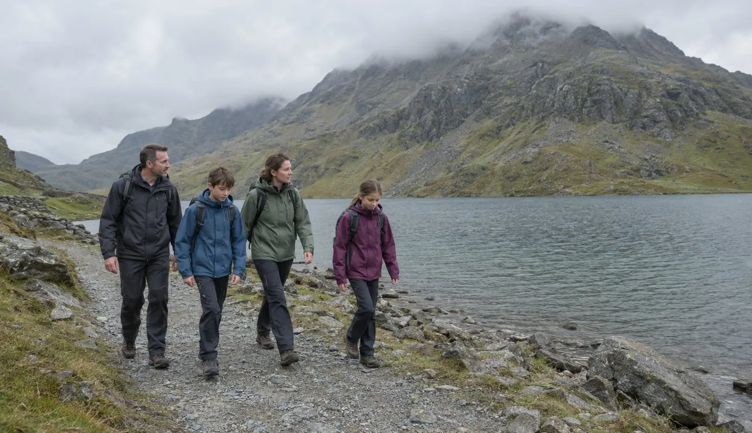
Families with young children, and walkers who are nervous on rough ground, should turn round at Llyn Llydaw. That is after the causeway and before the steep climb to Glaslyn.
The Eryri National Park Authority, the body in charge of the national park, rates the Miners’ Track hard. It is 8 miles (13 km) there and back, about 6 hours, with 723 metres of climbing.
The first part runs along Llyn Teyrn and Llyn Llydaw past the copper-mine ruins. The steep climbing starts before Glaslyn.
Reaching the start at Pen-y-Pass
The Miners’ Track starts at Pen-y-Pass car park, in the far left-hand corner, opposite the entrance.
The Authority steers visitors to the Sherpa’r Wyddfa bus rather than the car park.
- S1, S2 and S5 are the Sherpa’r Wyddfa routes that call at Pen-y-Pass.
- Journey times: about 15 minutes from Nant Peris, 20 from Llanberis and 45 from Caernarfon.
If you drive, Pen-y-Pass fills up quickly on busy spring and summer days.
Along the lakes to Glaslyn
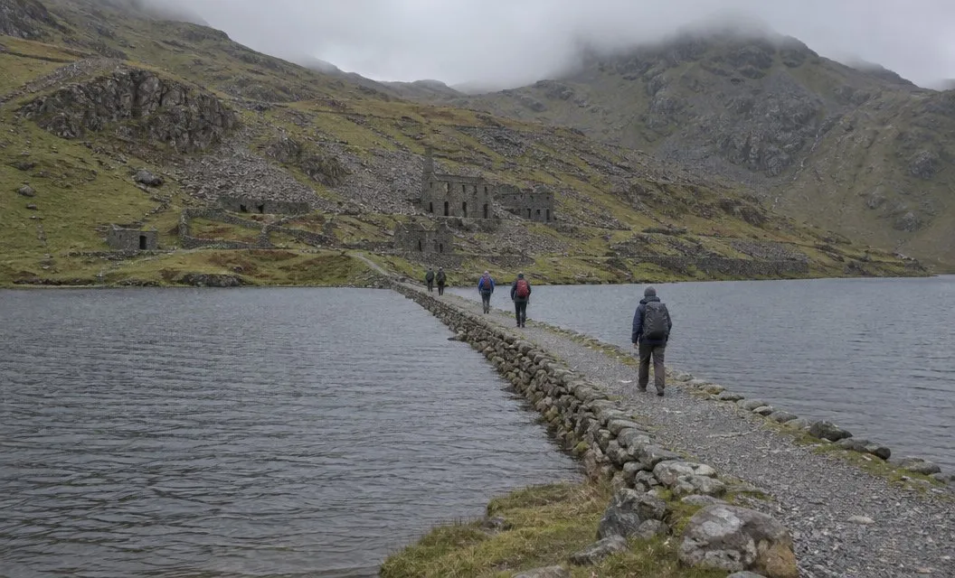
The track runs along the shores of Llyn Teyrn, Llyn Llydaw and Glaslyn. Near Llyn Llydaw the path forks. Bear right to reach the causeway across the lake.
The causeway was built in 1853. Before that, miners used a raft to carry horses and wagons full of copper across the water.
The track was built to serve the Britannia Copper Mine. Once across, the ruins of its crushing mill are on your right.
Among them are the large hammers used to crush the ore. Some of the miners’ barracks survive too.
After the mill, the leaflet describes a steep climb to Llyn Glaslyn.
Turn round at Llyn Llydaw, or go on?
Use this list at the crushing mill ruins.
Stop at Llyn Llydaw if:
- you have young children, or anyone whose legs are already tired
- loose rock underfoot makes you anxious
- you cannot yet navigate with a map, which the Authority says is essential on this route
- the weather is turning, or you are wearing trainers
- you want a lakeside day, not a summit climb
Go on to Glaslyn and beyond only if:
- you have good fitness and boots
- you can use a map and compass
- the forecast is settled and you have time in hand for the descent
For families, climbing Snowdon with children lists the lower Miners’ Track as a gentler option. That is if you are not fixed on the summit.
The steep climb above Glaslyn
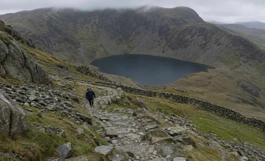
The route page calls the last half of the walk a challenging, steep ascent over loose rock and scree.
From Glaslyn, look for a standing stone near the ruins of an old barrack. Follow the path to the right, which climbs steeply over scree.
The leaflet calls this a hard climb that can be very slippery. With ice and snow on the path, it says the rest of the route is best left to experienced walkers. They need the proper equipment.
Shortly after, a second standing stone marks the junction with the Pyg Track. Note this stone: the leaflet says you will need it on the way down.
From Bwlch Glas to the top
From the Pyg Track junction the path stays steep and loose until Bwlch Glas. It zigzags up the last part.
A standing stone marks Bwlch Glas, where the path meets the Llanberis Path and the Snowdon Ranger Path. Follow the path to the left.
From that stone, a leisurely pace gets you to the summit in around fifteen minutes.
Weather, and the way down
The Authority says weather on the mountain can change within minutes. Expect it to be far colder, wetter and windier on top than in the car park, the Authority adds.
If conditions get too much for you, turn back immediately. Trainers are not suitable. The Authority also says to take a torch, in case you are still on the mountain after dark.
You come down over the same loose ground. Why walkers need rescuing explains why the descent catches more people than the climb. To compare this route with the others, read which path up Snowdon.
We compile and explain public route and safety information. We guide nobody and sell nothing on the hill.
Where to stop if you are not sure
The marker is the ruins of the Britannia Copper Mine crushing mill, just across the causeway at Llyn Llydaw, where the steep climb to Glaslyn begins.