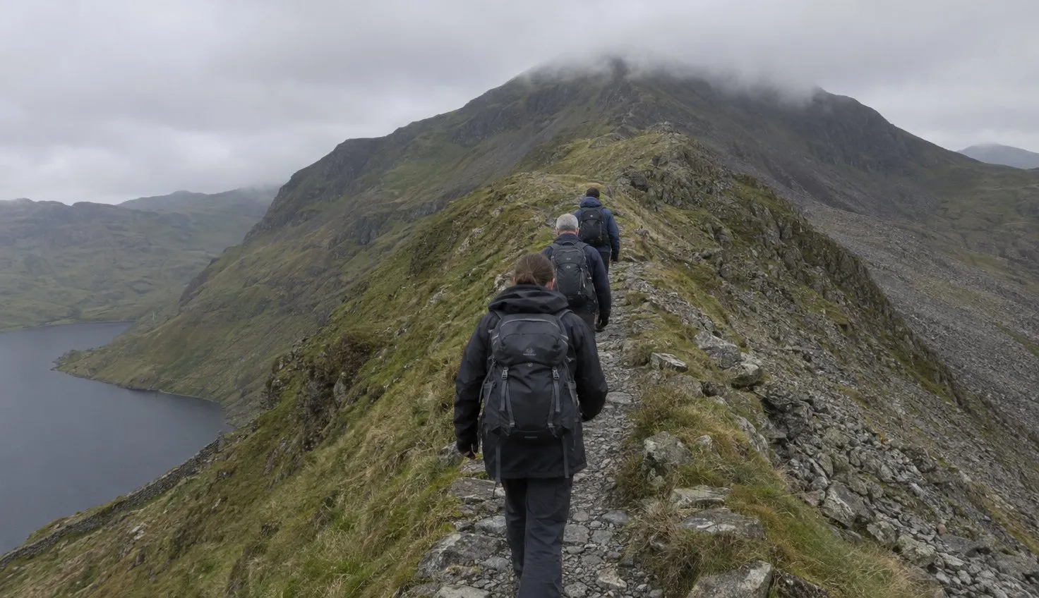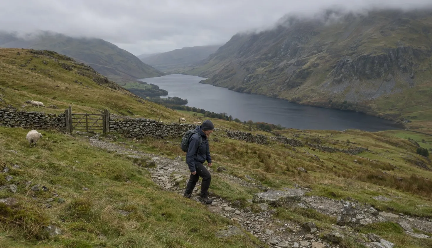
Seven Carneddau summits rise above 3,000 feet, according to the British Mountaineering Council, the national body for climbers and hill walkers. The highest, Carnedd Llewelyn, is 1,064 m.
The walk from Ogwen climbs Pen yr Ole Wen first, then follows the high ground over Carnedd Dafydd to Carnedd Llewelyn. The Carneddau are hard to navigate in thick mist, and the far reaches can be boggy.
No source gives a distance or time for this round, so measure it on the map before you go.
Pen yr Ole Wen: the steep start
Pen yr Ole Wen is 978 m.
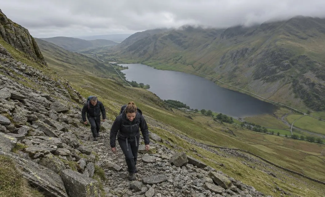
In the BMC’s Welsh 3000s guide, a runner calls it the hardest part of that route for anyone going south to north.
Its description is steep, loose scree in places. You can easily lose the path if you are not careful, particularly in mist.
Expect steep, loose ground from the first climb, and keep checking that you are still on the path.
The high ground to Carnedd Llewelyn
Beyond Pen yr Ole Wen the route stays high. These are the heights as the BMC publishes them:
- Pen yr Ole Wen: 978 m
- Carnedd Dafydd: 1,044 m
- Carnedd Llewelyn: 1,064 m
- Yr Elen: 962 m
The Ogwen Valley Mountain Rescue Organisation, the volunteer rescue team for these hills, ran an event over the same tops in the opposite order.
Its route notes take the main ridge line over boulders and stones to Carnedd Dafydd.
Between Carnedd Llewelyn and Yr Elen there is a col, a low point on the ridge. Those notes drop north to it, climb Yr Elen, then come back to the col.
Carnedd Llewelyn is the natural place to decide whether the day goes on. You have reached the highest of the Carneddau, and everything beyond it is further from Ogwen.
Mist and the map
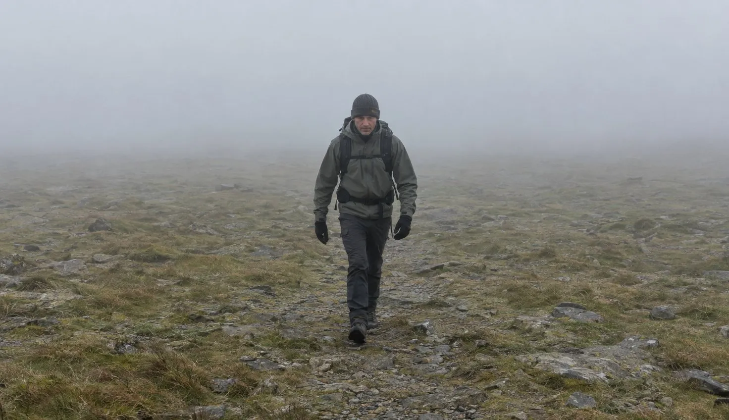
The same runner in the BMC’s guide says the Carneddau is hard to navigate in thick mist.
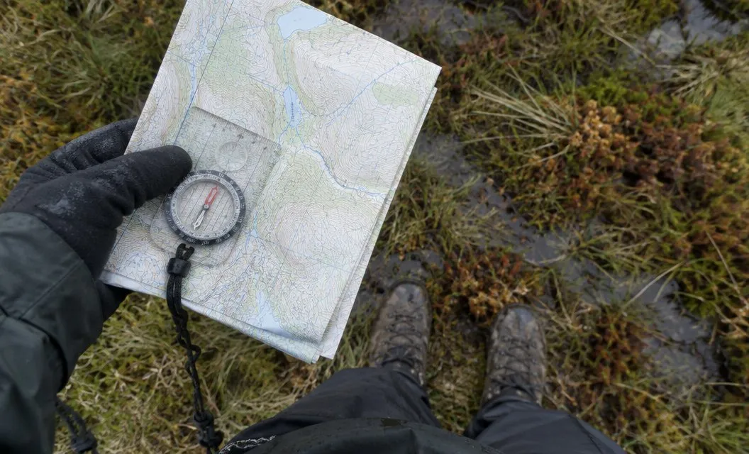
The Met Office says poor visibility can mean less than 50 metres in all directions, with few or no visual references.
It names featureless moors and plateaux as the places where that bites hardest. Distances become hard to judge, and the Met Office says such conditions need good navigational skills.
On broad high ground in cloud, a map and compass are what keep you on the route. The Ordnance Survey sheet for Snowdonia shows which one you need. Read the forecast through Snowdonia mountain weather before you commit.
The boggy far reaches
North of Carnedd Llewelyn the summits are Foel Grach at 976 m, Carnedd Gwenllian at 926 m and Foel-fras at 942 m.
Another contributor to the BMC’s guide says the far reaches of the Carneddau can be boggy.
The National Trust, which owns 21,000 acres of these mountains (the Carneddau and Glyderau together), describes its land as having steep, rocky, boggy and uneven terrain in places.
From Foel-fras, the BMC’s Welsh 3000s guide drops down to Bwlch y Ddeufaen or to the ground above Abergwyngregyn. Neither exit brings you back to Ogwen, so a walk that goes this far needs its own lift home.
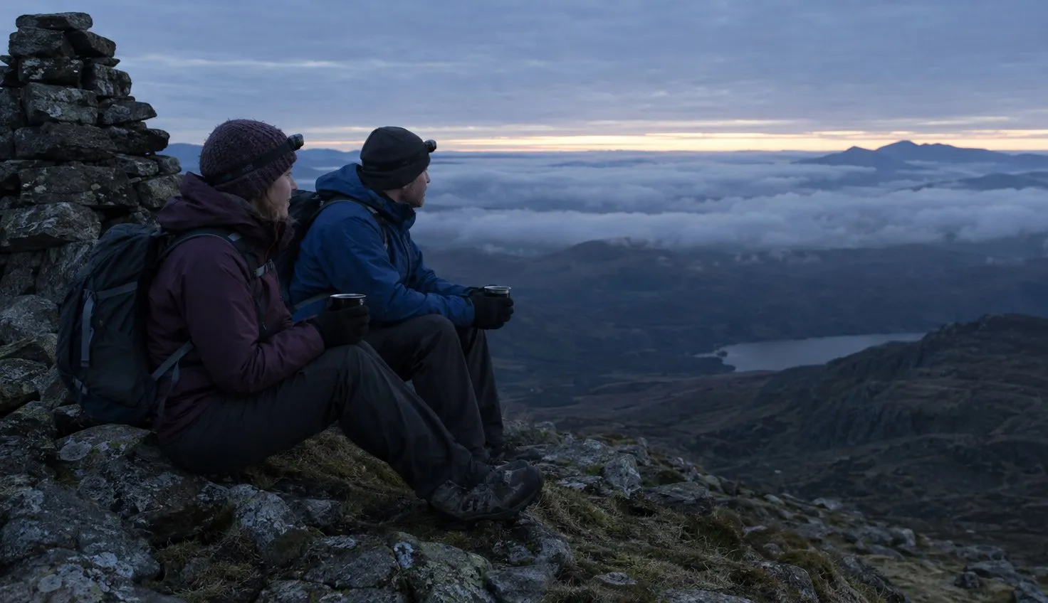
The same runner also says to take a head torch, just in case.
A head torch for Snowdonia is a small item to pack for a day that might run late.
Plan your way down before you go
That runner’s advice is to have a back-up plan to bail out. He also says to think about how you would get back if you had to leave the route at Ogwen.
Choose the way down on the map at home, not on the ridge.
The Ogwen Valley Mountain Rescue Organisation chose one descent for its event: from Pen yr Ole Wen down to the farm at Tal y Llyn. Its notes call this slightly longer but an easier descent and less environmentally damaging.
From the farm, the same notes follow the path alongside Llyn Ogwen back to the car park.
Write down your decision points before you set off:
- Pen yr Ole Wen: if the path is hard to hold in mist, do not push on.
- Carnedd Dafydd: check the cloud and the wind before the long stretch to Carnedd Llewelyn.
- Carnedd Llewelyn: go back the way you came, or commit to the far reaches.
- Foel-fras: one of the two exits, with transport arranged.
The rescue team covers the Ogwen valley, the Glyderau and the Carneddau and is on call 24 hours a day.
It is not a substitute for a plan, and staying safe in Snowdonia covers what to do first.
Getting to Ogwen
Ogwen is a base for the Carneddau and the Glyderau, according to the Eryri National Park Authority. Double yellow lines run along parts of the A5 here, and you cannot park on them, including on the pavement.
Spaces fill quickly in the spring and summer holidays.
The park authority’s own car park at the Ogwen Centre is small and takes only card or contactless payment.
On a busy day, leave the car in Bethesda and take the bus. The authority’s advice is to use the buses from Bethesda when Ogwen is full.
- T10 TrawsCymru: links Bangor, Bethesda and Betws y Coed and stops at Ogwen.
- Bethesda football club car park: the place to park if you use public transport.
- Bws Ogwen: a nine-seater electric bus between Bethesda and Ogwen.
- Bethesda football club car park gate: closed from 22:00 to 07:00, so be back before it shuts.
More on car parks is in parking in Snowdonia.
Tryfan, Glyder Fawr and Cwm Idwal start from the same valley: see Tryfan, Glyder Fawr and Cwm Idwal. The Welsh 3000s challenge finishes on Foel-fras.
We compile and explain public route and safety information. We guide nobody and sell nothing on the hill.
The morning you go
Open the Met Office mountain forecast for Snowdonia and find the line headed chance of cloud-free hill tops. If it is low for the hours you will be on the tops, the Carneddau are a poor choice for that day.