People call it the 14 Peaks. Most lists now count fifteen, and some count sixteen.
The Welsh 3000s are the Welsh mountains over 3,000 feet, climbed in one go on foot. The usual challenge is to stand on every one of them within 24 hours.
The route runs from Yr Wyddfa (Snowdon) in the south to Foel-fras in the Carneddau. It covers about 24 miles and 3,100 metres of climbing.
It is not a race, and finishing is not guaranteed even for strong walkers.
Which summits count
The British Mountaineering Council is the national body for climbers and hill walkers in England and Wales. It lists the summits in the order most people climb them.
| Range | Summit | Height |
|---|---|---|
| Yr Wyddfa | Yr Wyddfa (Snowdon) | 1,085 m |
| Yr Wyddfa | Garnedd Ugain | 1,065 m |
| Yr Wyddfa | Crib Goch | 923 m |
| Glyderau | Elidir Fawr | 924 m |
| Glyderau | Y Garn | 947 m |
| Glyderau | Glyder Fawr | 1,001 m |
| Glyderau | Castell y Gwynt (if included) | 972 m |
| Glyderau | Glyder Fach | 994 m |
| Glyderau | Tryfan | 918 m |
| Carneddau | Pen yr Ole Wen | 978 m |
| Carneddau | Carnedd Dafydd | 1,044 m |
| Carneddau | Carnedd Llewelyn | 1,064 m |
| Carneddau | Yr Elen | 962 m |
| Carneddau | Foel Grach | 976 m |
| Carneddau | Carnedd Gwenllian (if included) | 926 m |
| Carneddau | Foel-fras | 942 m |
That is sixteen summits, two of them marked “if included”. The BMC still calls the total “a grand total of 15 mountains”.
The long-running challenge website puts it as “officially 15 peaks, or possibly 16”. It counts seven Carneddau summits, so its fifteen includes Carnedd Gwenllian.
Castell y Gwynt is the optional sixteenth, which is why the Glyderau section is “five/six peaks” on that site. It sits on the route between the two Glyders, so including it costs little.
Who sets the rules
Nobody, officially.
The Welsh 3000s website says the challenge is not an organised race or event, and people pick their own date.
The rule it gives is short. You reach all 15 summits on foot, inside 24 hours. In its words, “within the space of 24 hours, without using any form of transport”.
Times are counted from the first summit to the last. The walk up to Yr Wyddfa at the start and the walk down from Foel-fras at the end are not inside the 24 hours.
That is why the day is longer than its headline figure.
The mileage you read is not the mileage you walk.
The BMC puts the summit-to-summit distance at about 24 miles, and up to 30 miles with the approach and descent.
How big the day really is
For most visitors, one ascent of Yr Wyddfa is the whole day. On the Welsh 3000s it is only the walk to the start line.
- Distance: about 24 miles between the first and last summit, up to 30 miles in total.
- Climbing: around 3,100 metres of ascent, per the BMC.
- Time: the challenge site says under 12 hours is “sometimes achieved by exceptionally fit walkers”.
- Record: fell runners have done it in 4 hours 20 minutes, which tells you nothing about a walker’s day.
For a fit, experienced hill walker, most of the 24 hours gets used. The challenge site calls it “only suitable for very fit and experienced mountain walkers”.
If that sounds like more than you want, the same site says three days is ideal for doing it in stages.
The three places attempts go wrong
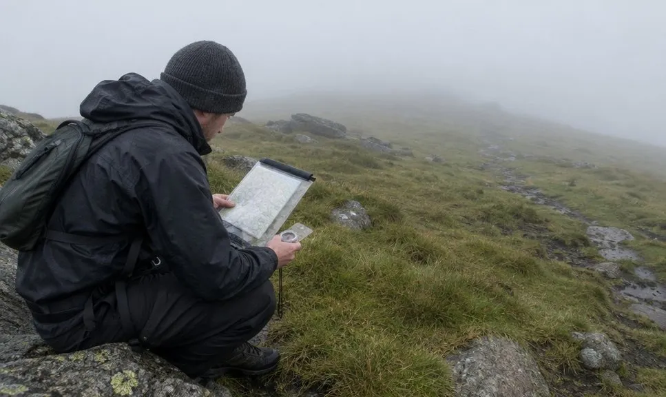
Navigation, more than fitness, is where many attempts fail. A BMC contributor calls it “the reason behind many failed attempts”.
- Crib Goch. It is the third summit, on an exposed ridge. The challenge site warns it is “very exposed” and that several people have died on it. The full picture is in how hard Crib Goch really is.
- Tryfan. Ordnance Survey, Britain’s national mapping service, describes it as “a grade 1 scramble the whole way”. That is hands on rock, and Tryfan cannot be walked up any other way.
- The Glyderau and the Carneddau in cloud. The BMC panel warns that getting lost on the Glyderau “could add hours”, and that the Carneddau are hard to navigate in thick mist.
Two climbs catch people out on the way. The BMC panel singles out Elidir Fawr’s “relentless grassy slope” and the steep, loose scree of Pen yr Ole Wen.
The BMC panel suggests preparing your map in sections, with bearings written on, before the day. Take the right OS sheet for Snowdonia on paper as well as any phone.
How the day is usually walked
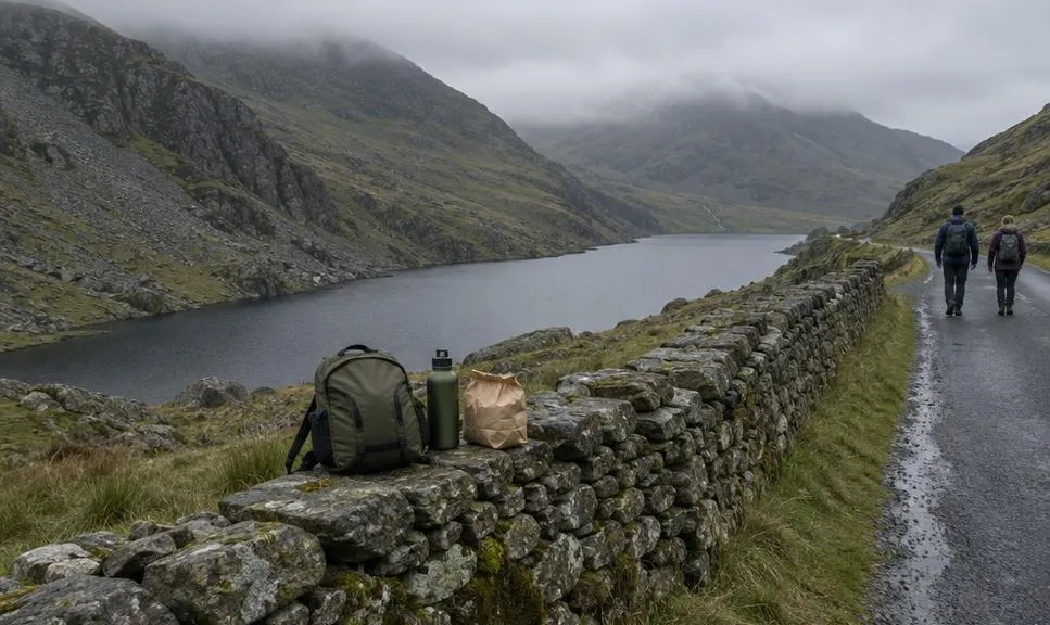
Most people go south to north, in three sections.
- Yr Wyddfa section. Start on the summit of Yr Wyddfa, take in Garnedd Ugain and Crib Goch, then drop to the road above Nant Peris.
- Glyderau section. Five or six summits, depending on your list, ending at Llyn Ogwen.
- Carneddau section. The remaining seven summits to the finish on Foel-fras.
From Foel-fras you still have to walk down, to Bwlch y Ddeufaen or above Abergwyngregyn.
The two roads are your resupply points and your escape routes. The BMC and the challenge site both suggest leaving food and water at Nant Peris and Ogwen, or having a friend meet you there.
A BMC contributor who failed twice because of weather has one piece of advice. Think about how you would get home if you had to stop at Ogwen.
Some walkers sleep near the summit the night before so they can start at first light.
Others walk up in the dark, which is where a head torch you trust becomes essential. The BMC panel says to carry one “just in case”.
Think about how you would get home if you had to stop at Ogwen.
When to try it
The challenge site says most people go as close to 22 June as they can. Sunrise is then about 5am and sunset about 10pm.
Do not fix the date too far ahead.
Mist is the condition that ends most attempts, because it turns the navigation sections into guesswork.
Heat, cold, wind and rain all slow you down too. Read the Snowdonia mountain forecast for the whole day, and pick the day from it rather than the calendar.
When it is not your year
If you have never been on Crib Goch or Tryfan, do them first, on separate days.
Neither is a place to learn scrambling while tired.
If you have not walked 20 miles in the hills before, the three-day version is the same mountains with a night’s rest between each section.
And if the forecast is poor, the challenge is still there next June. It is not an event, so there is no entry to lose.
We compile and explain public route and safety information. We guide nobody and sell nothing on the hill.
The clock stops on Foel-fras, at 942 metres. The BMC panel warns you will not get mobile signal at the finish, so arrange your lift before you set off.