Moelwyn Mawr means Big White Bare Hill, according to go4awalk. Its summit stands at 770 m (2,527 ft) and carries an Ordnance Survey trig point (a survey pillar). It ranks 43rd among the highest mountains in Wales.
You can climb it from Tanygrisiau on the east or from Croesor on the west.
Stay on the paths wherever old quarry ground lies beside the route.
Starting at Tanygrisiau
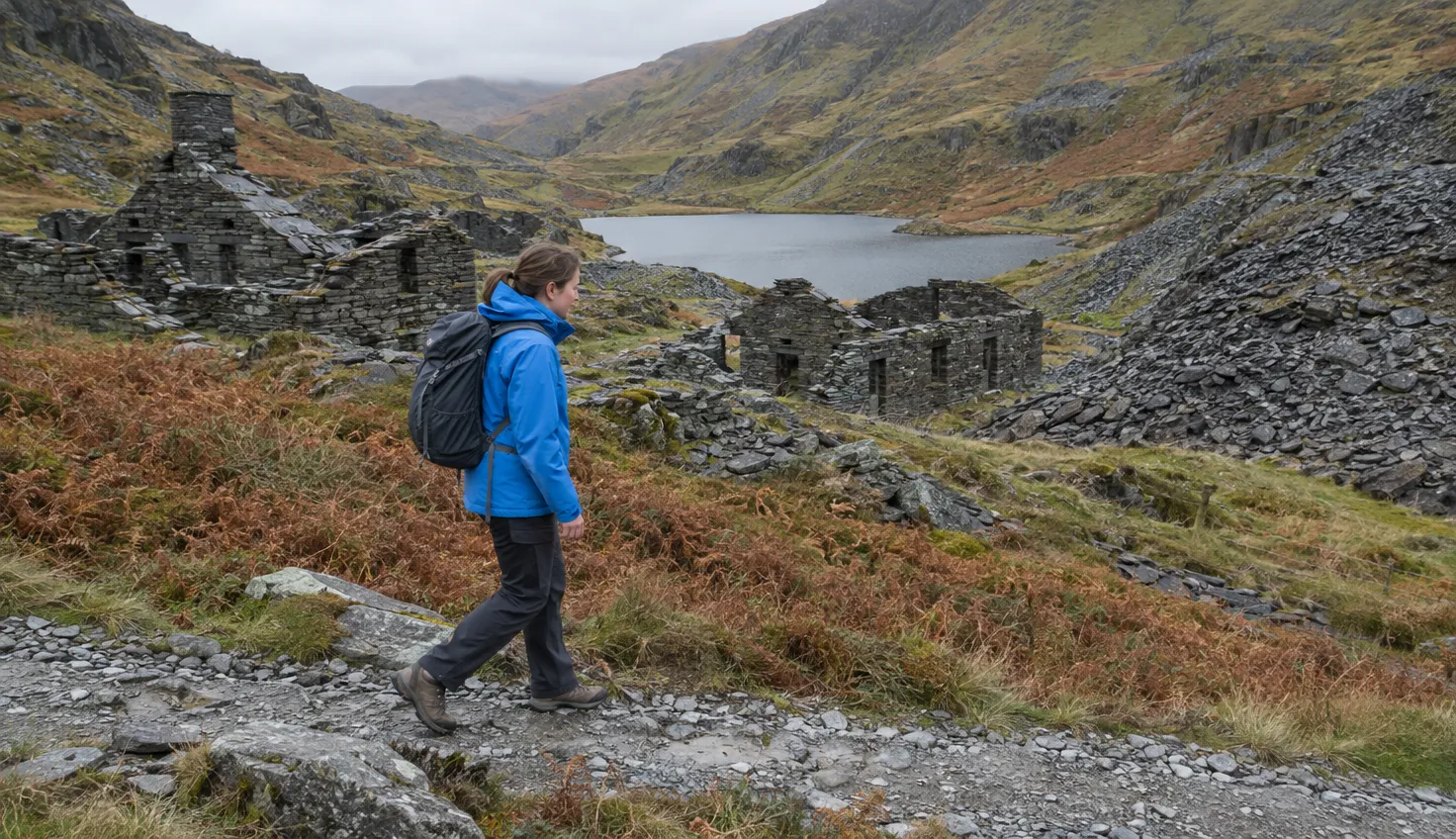
The Great Outdoors route from Tanygrisiau is 6.5 miles (10.5 km) with 750 m of ascent, and takes 4 hours. It goes up through the Cwmorthin quarry ruins.
The sequence from the start:
- Park up. Park at the small roadside car park south east of Tanygrisiau station, grid reference SH 685 448.
- Waterfall and lake. Walk up Cwmorthin. The waterfall soon appears on the left, then Llyn Cwmorthin, the lake.
- Chapel and quarry. Pass the ruin of Capel Rhosydd, an isolated chapel, and go through the Cwmorthin quarry ruins.
- Quarry incline. Pass to the right of the flooded pit and continue up the incline (a steep old quarry track) to Rhosydd.
- Final spur. Follow the footpath up a grass spur onto the summit.
Look out for Snowdonia Slate Trail markers. The way becomes less obvious for a while, so head roughly south across the black landscape.
Longer rounds exist. Mud and Routes runs a circular the other way, up by Llyn Stwlan and down through Cwmorthin.
In anything but perfect conditions the Moelwynion can be highly challenging to navigate and keep your feet dry.
The Croesor start and the west ridge
Walking World calls the western approach quieter and less affected by the old quarrying.
Its Walk 6592 climbs the grassy west ridge from Croesor. It is 5.6 miles with 756 m of height gain in 3 hours 31 minutes, graded Strenuous.
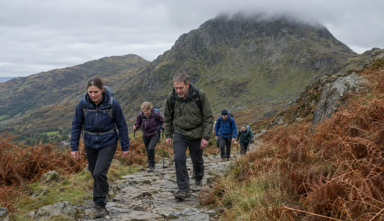
The paths are not as obvious as on the Tanygrisiau route, but navigation is simple enough. The ridge is steep in places, but not excessively so. Some walkers may feel more secure with walking poles.
A longer round by the quarries exists. Walking Britain’s The Moelwyns from Croesor is 7.5 miles (12.2 km) with 915 m of ascent in 6 hours 30 minutes, graded mod/hard.
Craigysgafn and Moelwyn Bach
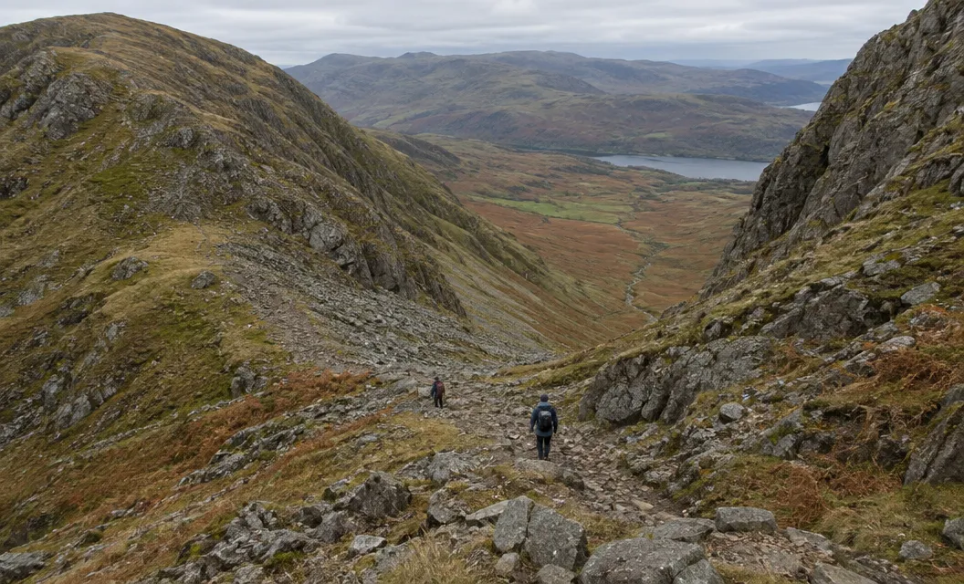
Craigysgafn, the rock peak between the two summits, is 689 m. Moelwyn Bach beyond it is 710 m.
There is a steep descent from Craigysgafn where you may have to put away the walking poles to use your hands.
Moelwyn Bach then follows on without any drama. It is not as bad as it looks in ascent, despite a few loose sections.
The descent south to Bwlch Stwlan is quite steep, onto the rockier Moelwyn Bach. The Craigysgafn path down from Moelwyn Mawr is steep at times.
Quarry ground: stay on the paths
The Tanygrisiau routes, and the Croesor routes by Rhosydd, pass old slate workings, and the ruined buildings and open tunnels are dangerous.
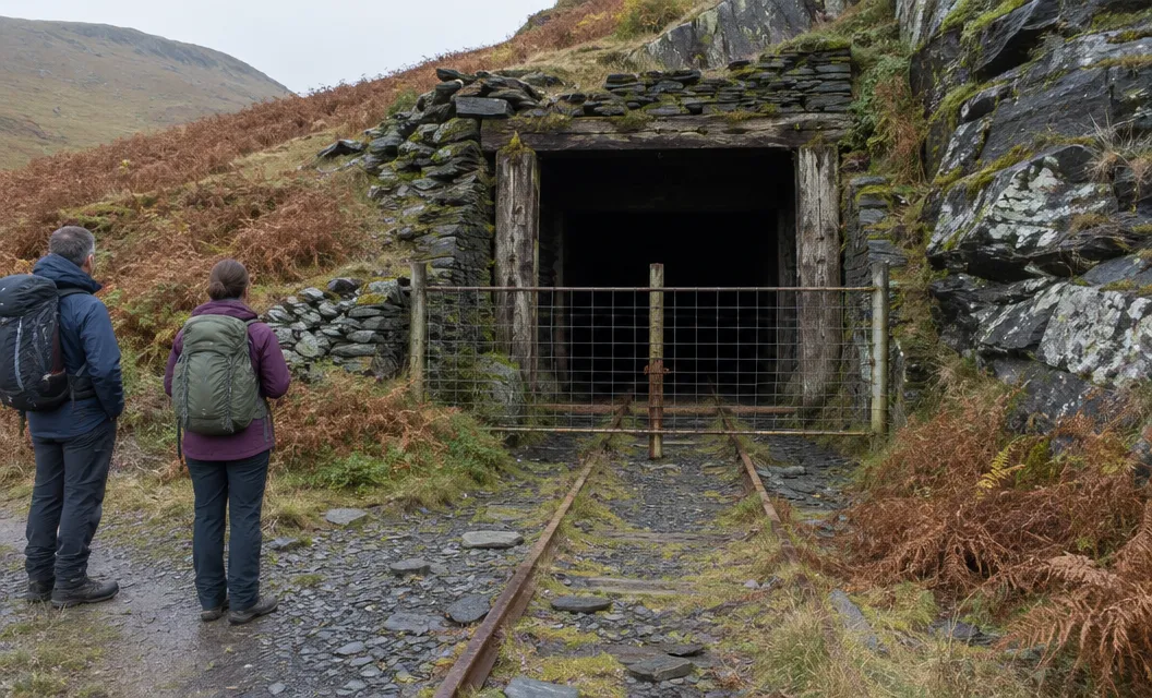
Cwmorthin Slate Quarry was worked from about 1810 to 1939. Rhosydd closed in 1930.
Take care around the old workings:
- The ruined buildings at Rhosydd have become dangerous and unstable. It is best to stay out of the buildings and tunnels.
- On the way to Rhosydd, be careful, as there are many adits (mine tunnels) and unfenced chasms that could cause problems.
- Many of the adits at Rhosydd are still open. Do not enter them without an experienced guide. Roof collapse and rock-fall are common.
- Exploring any workings and entering any buildings is not recommended, because they are often unsafe.
In mist, stick to the path. There are open quarry workings along the wide col east of the summit, where the fence towards Moel-yr-hydd is electric. At Bwlch y Rhosydd, take care that you can find the track back down.
On 24 August 2024 a walker fell about 100 ft (30 m) into an old mine shaft at Cwmorthin. The Daily Post reported the fall at the abandoned slate quarry near Tanygrisiau.
Parking and the way there
- Tanygrisiau: a fairly small car park off the side of the road, just south east of the station, at SH 685 448. A 2015 Mud and Routes guide calls the parking limited.
- Bus and train: a 2015 Mud and Routes guide says Tanygrisiau has a bus service from Blaenau Ffestiniog. Trains run to Llandudno Junction, then on to Blaenau Ffestiniog.
- Croesor: the National Park car park, grid reference SH631446.
- Map: OS Explorer OL18, Harlech, Porthmadog and Bala.
The Precipice Walk is a moderate walk with the Moelwynion to its north.
We compile and explain public route and safety information. We guide nobody and sell nothing on the hill.