Mud and Routes allows about 4 hours for its Moel Eilio round from Llanberis.
The round is 13.44 km with 668 m of ascent, graded a moderate walk. It climbs Moel Eilio, follows the ridge over Foel Gron and Foel Goch, and returns by a bridleway.
Starting in Llanberis
Live for the Outdoors goes by road and public footpaths at first, then onto open grassy hills.
Mud and Routes starts near the Snowdon Mountain Railway station. You pass the station towards the Victoria Hotel and turn right at a mini roundabout.
Live for the Outdoors starts on Llanberis High Street. It takes Ffordd Capel Coch south-west, with the YHA hostel on your left.
That road leads to the north-east ridge of Moel Eilio. It is a less travelled way up, which can be a little wet in places at first.
The climb to Moel Eilio
On the Mud and Routes round, the ascent sets off steady, then steepens for a couple of hundred metres at a fence.
The path is badly eroded there. The steep section soon relents, and the fence leads on to the summit.
A steeper, quicker alternative is to head for the ridge of Braich y Foel.
The summit of Moel Eilio
Moel Eilio is 726 m, and its flat top carries a huge shelter.
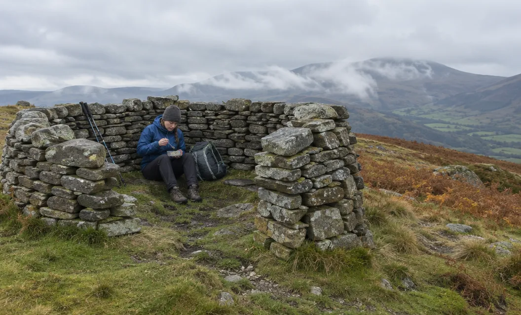
The views take in the Carneddau, the Glyderau, Snowdon, Moel Hebog, the Nantlle Ridge, the Llŷn Peninsula and Anglesey. Holyhead Mountain and Yr Eifl show too.
In exceptional visibility you may see the Wicklow Mountains.
The name is pronounced “moil ay-leo”.
The ridge over Foel Gron and Foel Goch
From the summit the ridge runs south-east over Foel Gron to Foel Goch, which is 605 m.
It is a pleasant, grassy ridge that poses little problem, and the views over to the Nantlle Ridge are the pick.
Llyn Dwythwch lies on your left. Llyn Cwellyn and Llyn y Gader lie on your right.
In poor weather or snow, Live for the Outdoors advises you to stay back from the steep drops on your left, most usefully behind the fence line. It adds that the ridge can be an exposed place in strong south-westerly winds.
The summit of Foel Gron is unmarked, just grass beside a fence. Foel Goch is marked by a cairn.
This Foel Goch is not the Glyder tops of similar name, Foel-Goch and Y Foel Goch.
Down through Bwlch Maesgwm
The way off Foel Goch is a steep grassy slope with no path as such, more an eroded rut.
It is not pleasant, but at least it is short.
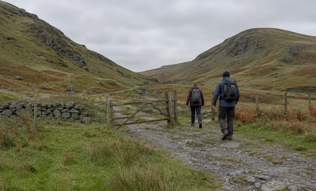
The bwlch (a mountain pass) is still above 450 m. A bridleway then runs a steady 3 km down towards Llanberis.
Near the bottom you turn right off the track, cross the Afon Goch and the railway, and join the lower Llanberis Path past the Penceunant Isaf tearooms.
Turn left and downhill, and you are back at the start in around 15 minutes.
Avoid the right of way shortcut near the bottom. It crosses boggy ground.
The round has no usual hazards, apart from some navigation in mist.
Longer and shorter rounds
Live for the Outdoors’ longer horseshoe adds Moel Cynghorion, and it says this is not one for complete beginners.
Allow about 5 hours for it: 14.2 km with 974 m of total ascent, graded medium. The round continues from Bwlch Maesgwm to Moel Cynghorion, then a steep, grassy descent leads towards Bwlch Cwm Brwynog.
Take a map and compass, with the skills to use them, because this is proper mountain terrain and North Wales weather is notoriously unpredictable. The Explorer OL17 map at 1:25,000 covers the area.
From Bwlch Cwm Brwynog a faint path leads down into the cwm, past Helfa-fawr. A public footpath then leads north towards Hebron Station and Llanberis.
The Snowdon Ranger Path bends round the lower slopes of Moel Cynghorion on its way up Snowdon.
Walking Britain’s walk 3057 starts higher, at Maen-llwyd-isaf, a derelict farmstead up a gated road from the centre of Llanberis. It is 11.4 km with 697 m of ascent from there, and takes 5 hours 30 minutes.
It leaves Foel Goch by the broad ridge to the north. On that route, make sure you do not descend into the valley of Maesgwm.
Getting to Llanberis
The S1 and S2 buses both call at Llanberis.
- S1: Caernarfon, Llanberis and Betws-y-coed, about 25 minutes from Caernarfon.
- S2: Bangor, Llanberis and Pen-y-Pass, about 50 minutes from Bangor.
Both are on the Sherpa’r Wyddfa timetable, where the S2 ends at Nant Peris over the winter (2 November 2026 to 19 March 2027). The journey times come from the Eryri National Park Authority in its guide to getting to Yr Wyddfa.
By car, there are car parks in the village of Llanberis. The Authority asks you to park only in designated areas, not on side streets or in residential areas.
Live for the Outdoors warns that the village car parks can fill up quickly. Walking Britain mentions limited parking near Maen-llwyd-isaf.
For a flatter day in Llanberis, Llyn Padarn has a lake walk from Gilfach Ddu.
We compile and explain public route and safety information. We guide nobody and sell nothing on the hill.
Snowdon itself is a separate day, and the Llanberis Path climbs it from the far end of Victoria Terrace in Llanberis.