The Snowdon Ranger Path is quiet, but it is not gentle.
The Eryri National Park Authority, which manages the national park, lists it as “not popular”. The same page grades it hard and strenuous, like every route up Snowdon.
The start climbs gradually. The top half is steep, loose and hard to read in mist.
Getting to the start at Llyn Cwellyn
The path starts at Llyn Cwellyn car park, off the A4085.
The route is 8 miles (13 km) there and back, with 936 metres of climbing, and the Authority gives about 6 hours.
The Sherpa’r Wyddfa bus stops at Snowdon Ranger YHA, close to the start.
The S3 from Caernarfon takes about 20 to 25 minutes.
From Porthmadog, take the S4 and change to the S3 at Beddgelert. That journey is about 35 minutes.
If you are coming from further away, getting to Snowdonia by train covers the rail side.
Over the railway and up the zig-zags
Across the road from the car park entrance is a standing stone and a bridleway sign. Follow the fenced path to the gate, then turn right over the train tracks.
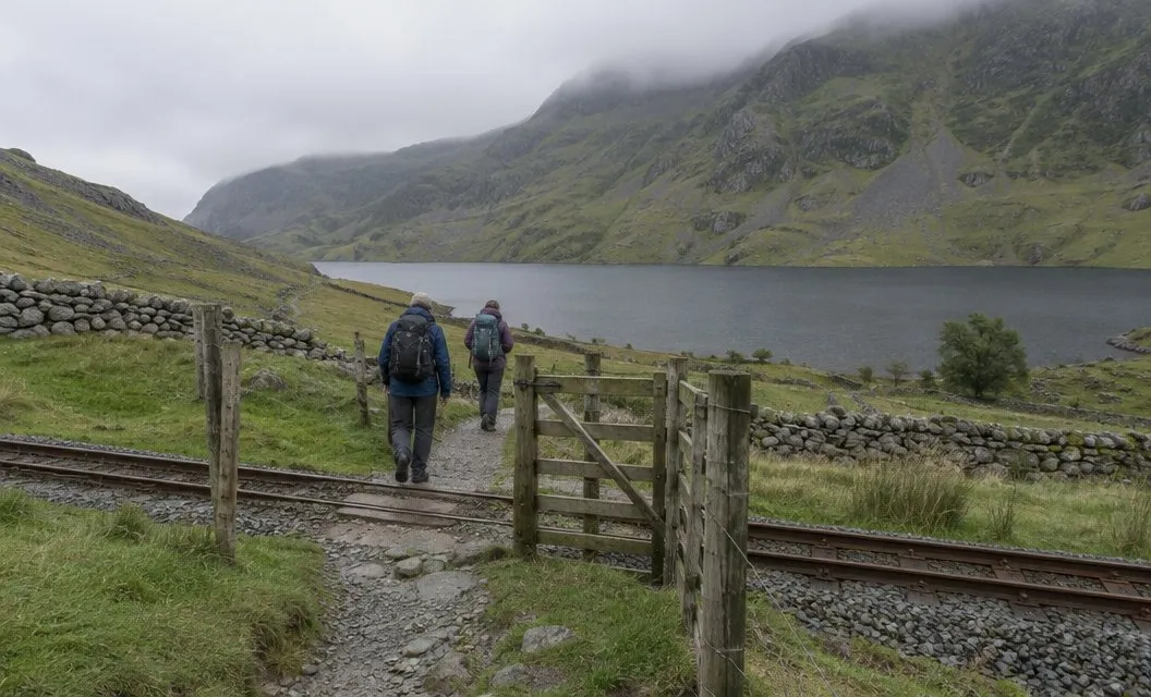
Beyond a gate by a cattle grid, the path heads for Llwyn Onn farmhouse. Past the farmhouse it forks. Take the right-hand fork through the gate.
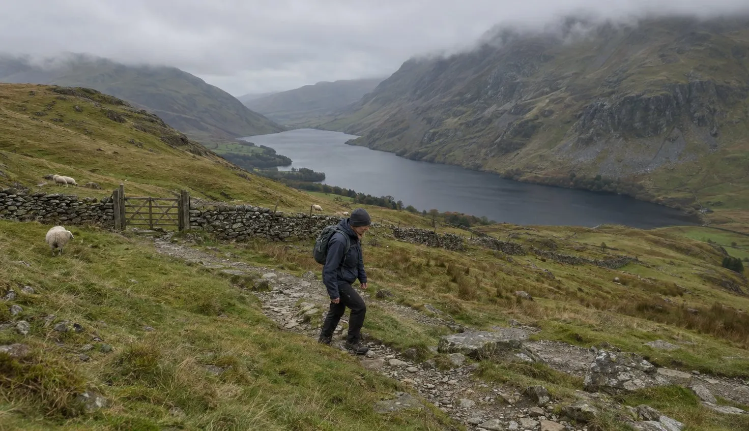
Then the path zig-zags up the mountain pasture.
The route notes ask you to keep to the path and take no shortcuts, because the public right of way follows the path only.
The long slope round Moel Cynghorion
At the top of the zig-zags you go through a gate, and a while later another gate near a fast-flowing stream. From there the path bends left around the lower slopes of Moel Cynghorion.
This is the gentle part: the Authority describes the whole climb up to here as gradual.
A lake, Llyn Ffynnon y Gwas, comes into sight on your right near the pass.
The name means “the lake of the servant’s spring”. You walk round its northern end to reach Bwlch Cwm Brwynog.
A public footpath leaves from the pass towards Bwlch Maesgwm and on to Llanberis. You do not take it.
The steep, loose climb above Clogwyn Du’r Arddu
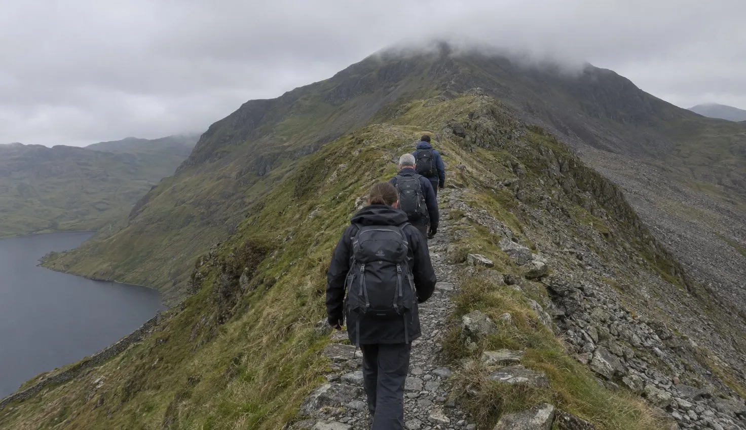
From Bwlch Cwm Brwynog the path climbs very steeply, and the Authority’s route notes say it is loose underfoot nearly all the way to the summit.
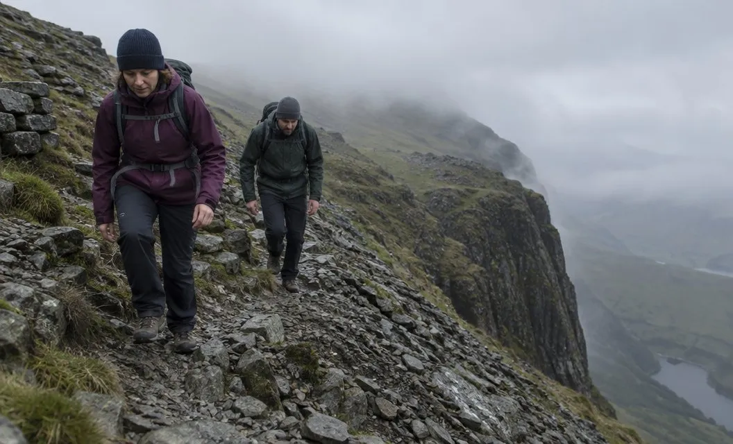
After a while beside Llyn Ffynnon y Gwas, the path zig-zags steeply up the shoulder above Clogwyn Du’r Arddu, the crag walkers call “Cloggy”.
The route notes say to take care from here on. Take it slowly and place your feet with care.
The Authority says climbing Snowdon takes a high level of fitness. Expect the top of this path to demand more of your legs than the start suggested.
Poorly defined ground, and mist
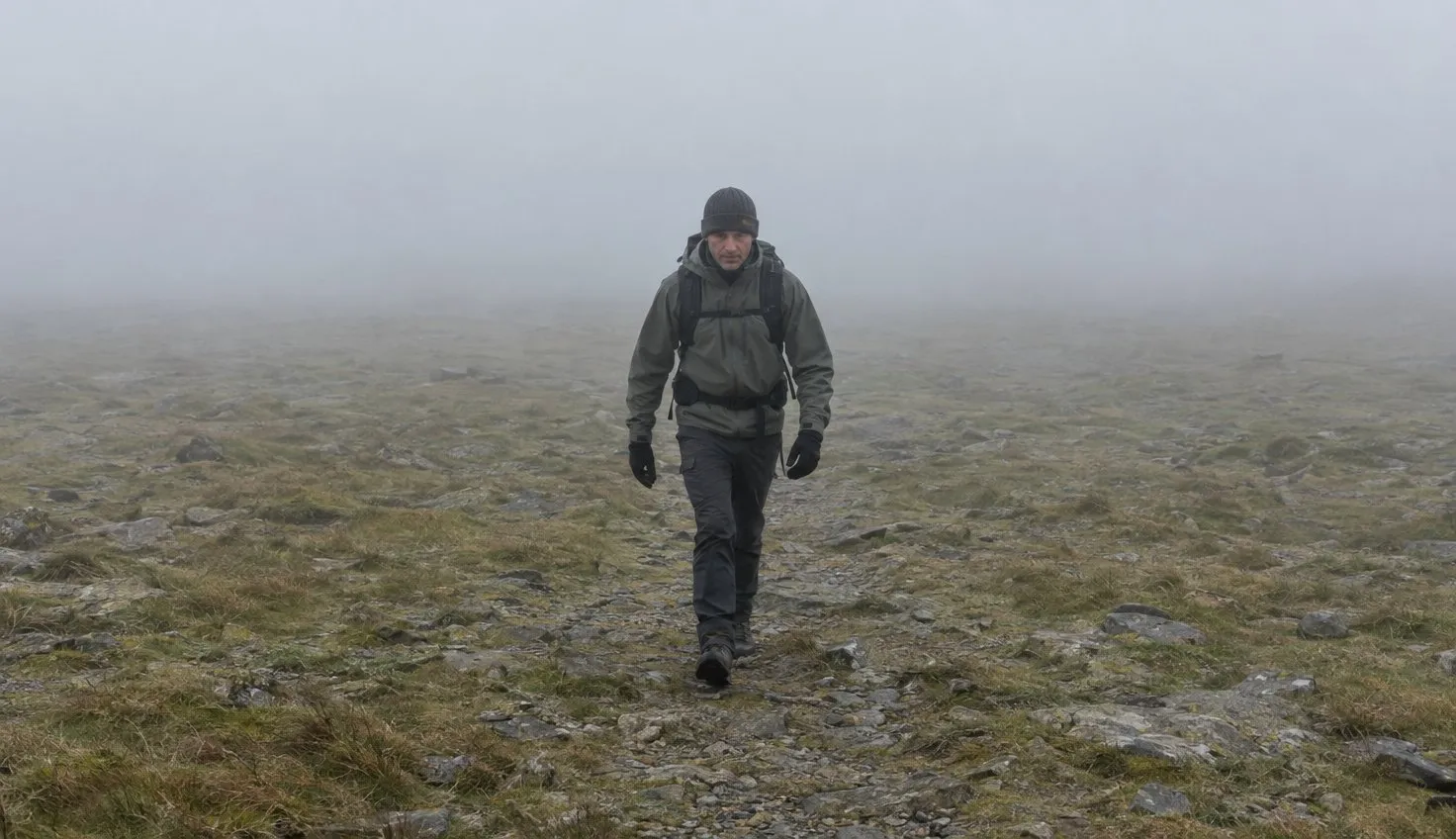
Above the steep section the climb levels out a little. The route notes call the path here “not very well defined”.
They ask you to take care, especially in misty or wintry weather.
The path then climbs again, on firmer ground. You reach a standing stone that marks the crossing of the Snowdon railway line.
Note this stone: on the way down in mist it is how you find the top of the Ranger path.
Keep to the path in cloud.
A member of Llanberis Mountain Rescue was quoted by the British Mountaineering Council, the national body for climbers and hill walkers. The member said the Ranger is a better winter path than the Llanberis Path.
The warning came with it: get your navigation sorted to avoid going straight over the top of Cloggy.
Winter brings a further condition.
The Authority says you cannot reach the summit in winter conditions without crampons or ice axes and knowing how to use them. The Snowdonia mountain weather page covers what to check first.
Coming down, and the traverse
From the railway stone, cross the line and walk straight ahead to the stone that marks the junction with the Llanberis Path.
A little further on is a much larger stone at Bwlch Glas, where the Pyg and Miners’ tracks join. From there the route notes give around a quarter of an hour to the summit at a leisurely pace.
On a traverse, you might climb another way and come down the Ranger. Or you might go up the Ranger and descend elsewhere.
The Rhyd Ddu Path is the other route up the western slopes, and the Rhyd Ddu Path has its own page.
Coming down the Ranger, one risk is finding the start of the path in mist. The route notes say it can be very difficult to locate.
If you are still choosing between routes, which path up Snowdon compares all six.
Who this path suits
It suits an experienced walker who wants fewer people and can handle a steep, loose finish.
It does not suit anyone expecting a gentle stroll, or anyone without map and compass skills. On every route up, the Authority calls navigation skills essential.
We compile and explain public route and safety information. We guide nobody and sell nothing on the hill.
On the way down, look for the standing stone at the railway crossing before you leave the summit area. In mist, walk to that stone first, then follow the path from it down to the zig-zags.