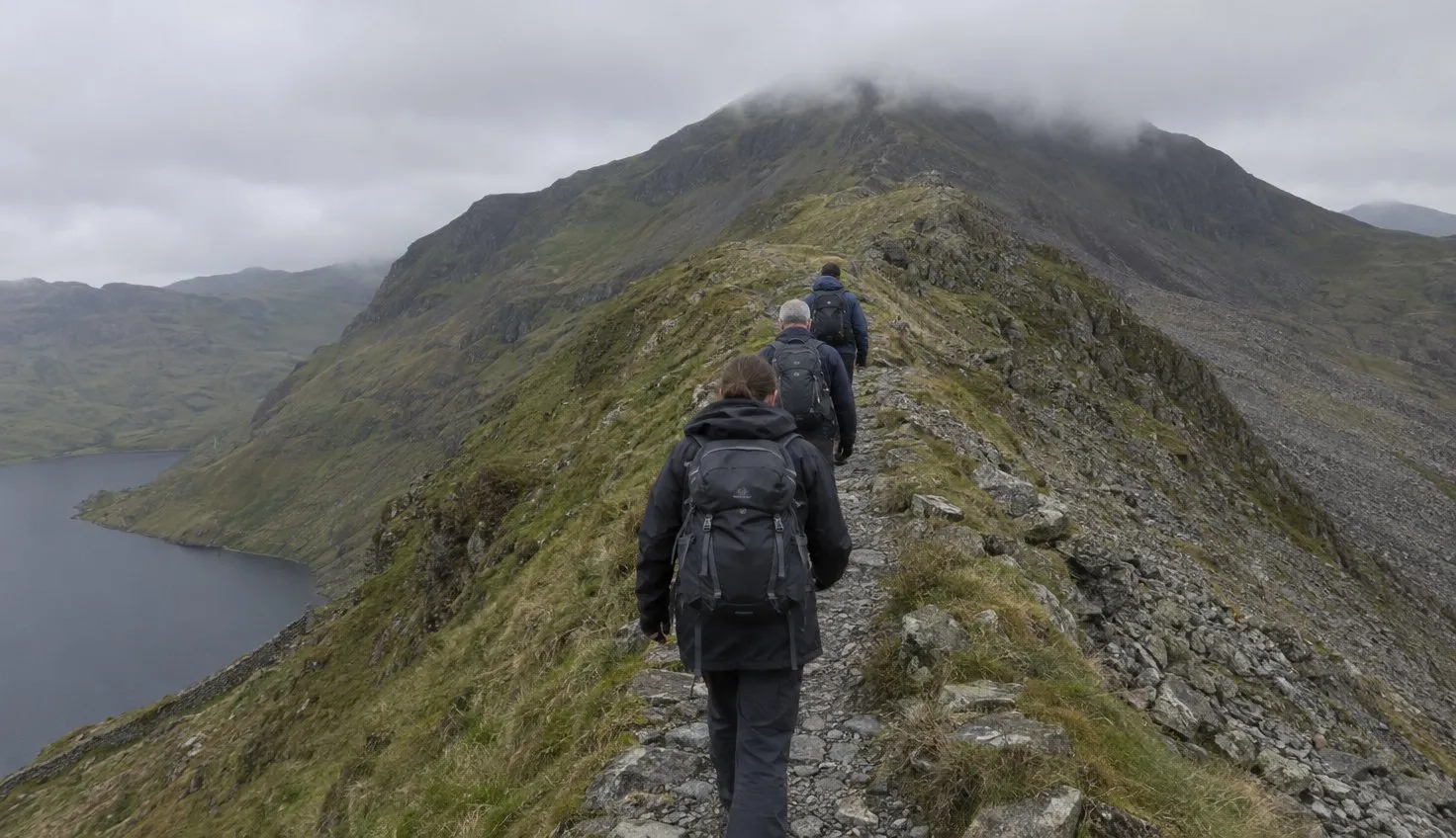
Bwlch Main is the narrow ridge near the top of the Rhyd Ddu Path, where the path is narrow and rocky with steep slopes below.
The Eryri National Park Authority, the public body for the park, asks for care on this stretch in bad weather and in snow and ice.
The Authority grades the route hard and strenuous. It is 12 km (7.5 miles) there and back, with 6 hours as the duration.
The Authority rates the path as not popular. That makes it a quiet way up the western side.
Where the path starts
The start is Rhyd Ddu car park, off the A4085 (grid reference SH 571 526).
The route notes mention public toilets at the car park. You need OS Explorer OL17 (Yr Wyddfa and the Conwy Valley) for the map.
The bus stop is Rhyd Ddu Station, on the S3 from Caernarfon, about 20 to 25 minutes.
Coming from Porthmadog, the S4 meets the S3 at Beddgelert, about 35 minutes in all.
Parking is limited, because the Authority says the routes start from small villages with extremely limited space. It recommends the Sherpa’r Wyddfa bus.
For the railway station there, see travelling to Snowdonia by train.
Leave the car park, go through the gate on the right and cross the railway. Shut the gates behind you.
The private track to the left goes to Ffridd Isaf farm, so follow the track ahead.
The lower half on the old quarry track
The first mile climbs gradually, on the old track that served the Bwlch Cwm Llan slate quarry.
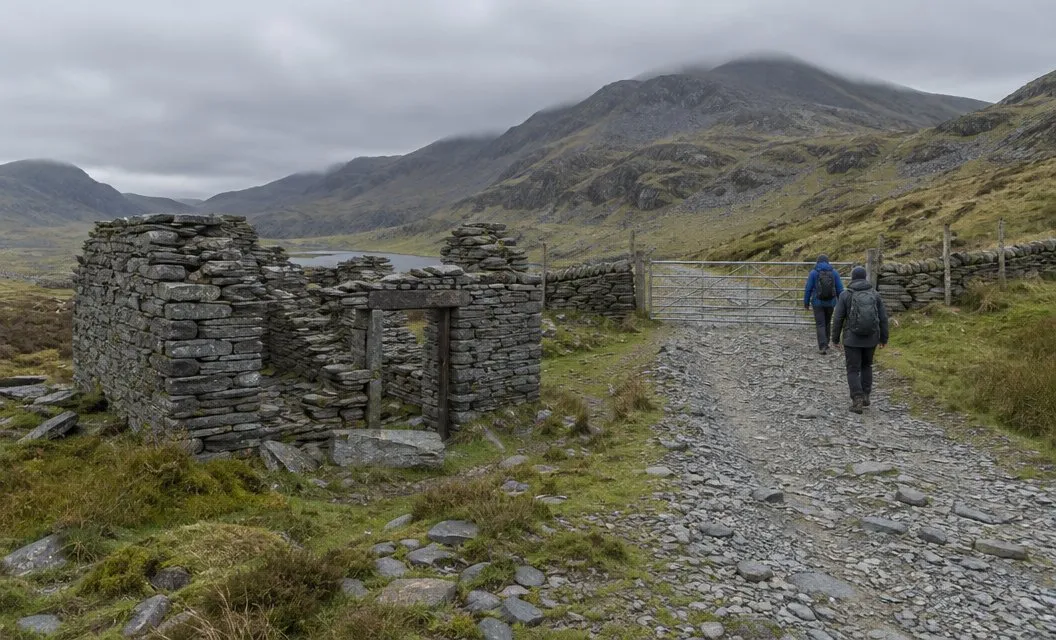
You pass the remains of the Ffridd slate quarry, which worked until the 1860s.
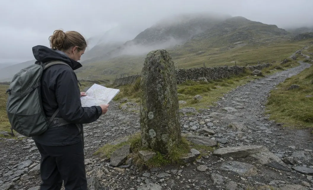
The path veers left towards Pen ar Lôn and reaches two adjacent gates. After them, look for a standing stone and a gate on your left, then follow the path over rushy, marshy ground.
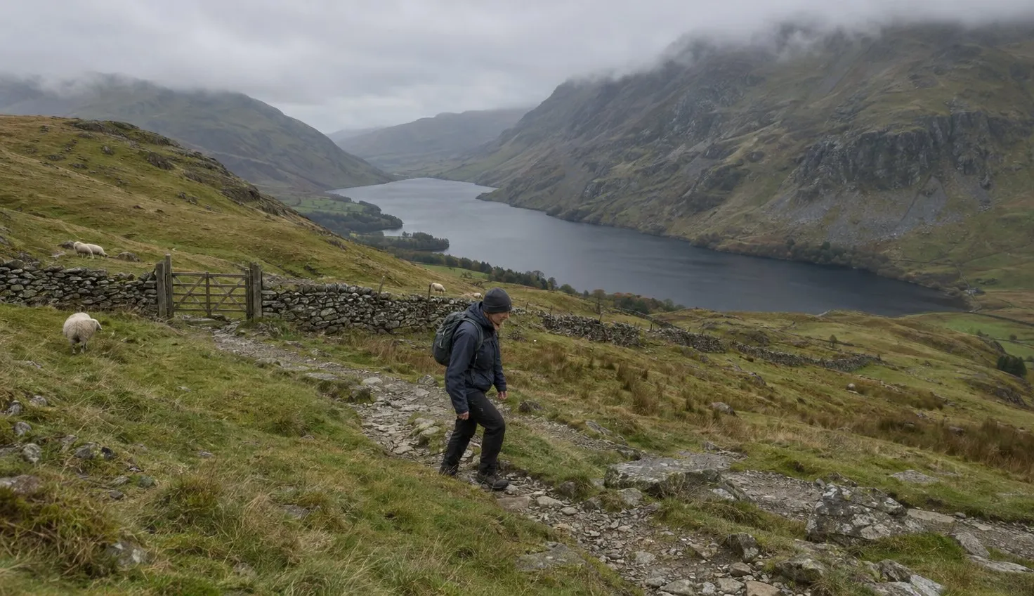
At the Authority’s halfway point you can look down on Rhyd Ddu, with Llyn y Gadair and Llyn Cwellyn on each side of the village.
On the horizon, Moel Hebog is the left-most summit. Moel yr Ogof, Moel Lefn, Mynydd Drws y Coed and Y Garn follow it, left to right.
The ground then gets steeper and rougher, and you reach the ruins of an old stone hut.
Llechog ridge
From the hut the path climbs steeply over rocky terrain.
After the next gate you come out on the shoulder of Llechog ridge.
The ridge is where the summit comes into view. On open, rocky ground the visitor centre and summit cairn come into view in the distance. Then you go through a gate in a stone wall.
The path keeps to the ridge around Cwm Clogwyn, then zigzags up towards Bwlch Main.
Before the junction, you cross the slope and see the South Ridge path joining from your right.
Bwlch Main in good weather and bad
The point where those two paths meet is the start of Bwlch Main, also called the Saddle.
At the top of the zigzag section, the path becomes very narrow, with a steep slope below.
Keep to the path, in any weather.
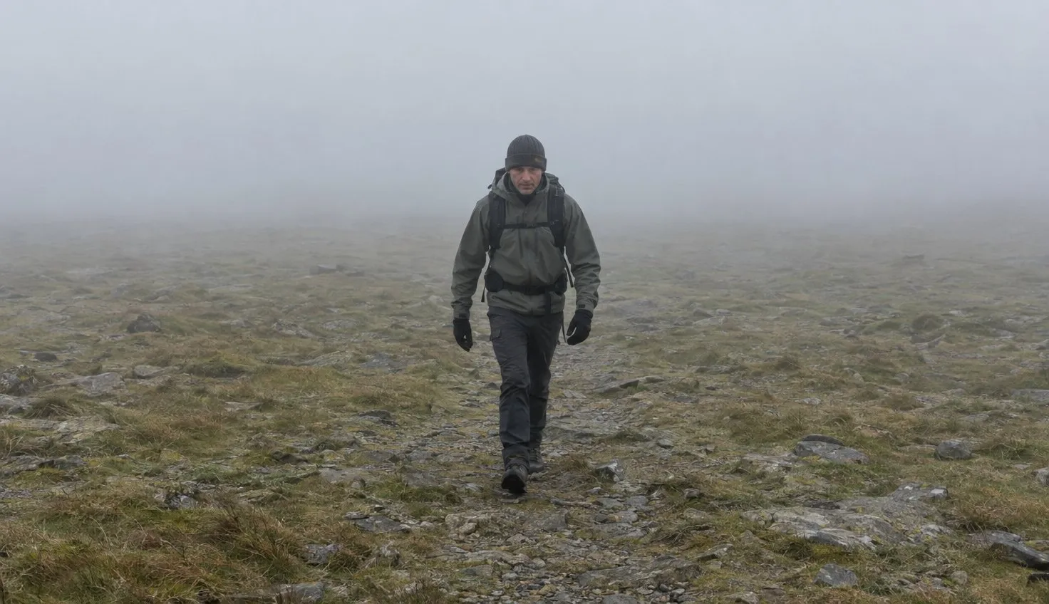
The Authority asks for particular care on this section in bad weather. It says conditions on the mountain can change within minutes.
If they get too much for you, it says to turn back at once.
On the way down, bear right where the South Ridge path meets you. The route notes flag that spot.
Further up, the Watkin Path joins from the right at a standing stone.
From there the path climbs steeply and rockily all the way to the summit. For a look at the top itself, see the summit.
Bwlch Main in snow and ice
With snow and ice on the ground this final section becomes a serious undertaking, one for experienced walkers carrying the appropriate equipment.
In winter conditions, the Authority adds, the summit needs crampons or ice axes and the knowledge to use them.
In winter it publishes a daily ground conditions report, with snow and ice hazards listed.
Without that kit and those skills, the walk ends below Bwlch Main.
What the season changes is covered under Snowdon in winter. The mountain forecast shows what the weather is doing before you set off.
The traverse with the Snowdon Ranger Path
The Rhyd Ddu and Snowdon Ranger paths are the two routes up the western slopes of the mountain.
A traverse means going up one and down the other.
The Ranger starts at Llyn Cwellyn, is 13 km (about 8 miles) there and back, and takes 6 hours. It merges with the Llanberis Path on the way to the summit.
The full route is on the Snowdon Ranger Path page.
Both paths have an S3 bus stop at the start: Rhyd Ddu Station for this one, Snowdon Ranger YHA for the other.
If you are still choosing between routes, which path up Snowdon sets them side by side.
We compile and explain public route and safety information. We guide nobody and sell nothing on the hill.
After a traverse, ride the S3 between the two path stops, Snowdon Ranger YHA and Rhyd Ddu Station, to get back to your start. Check the timetable before you set off.