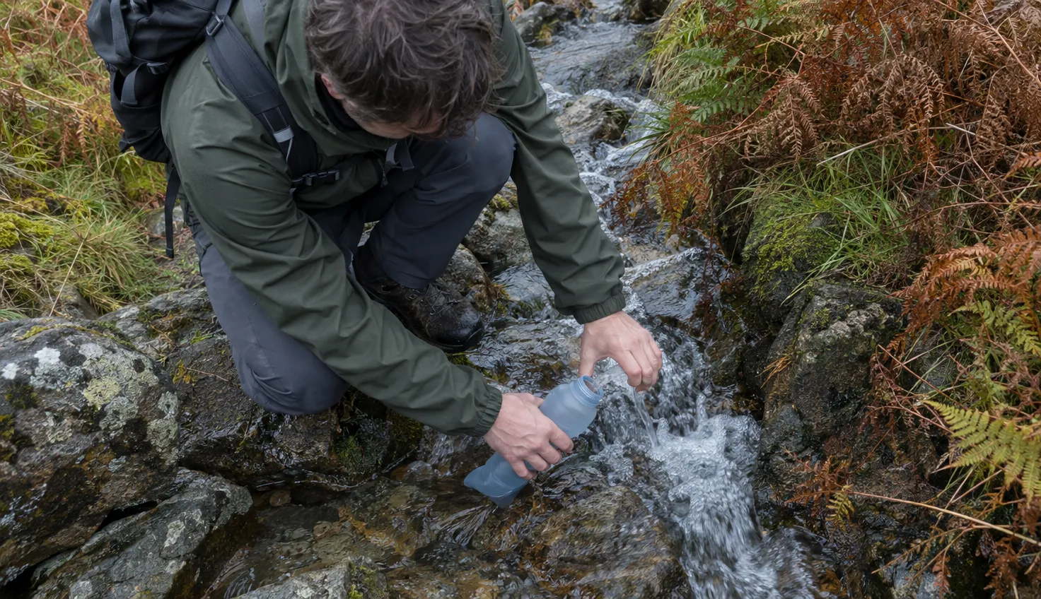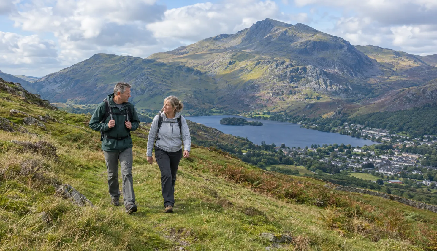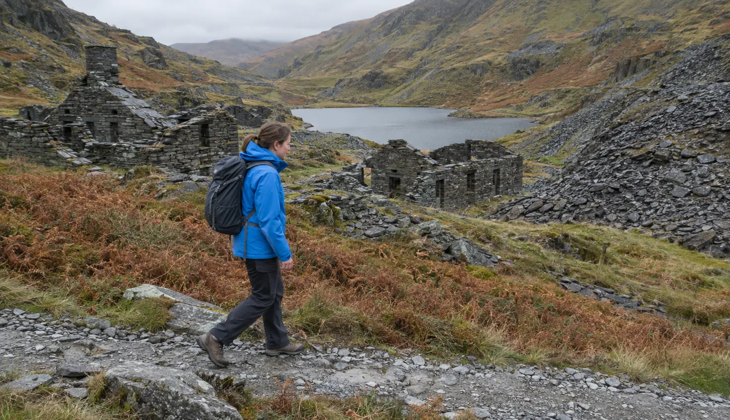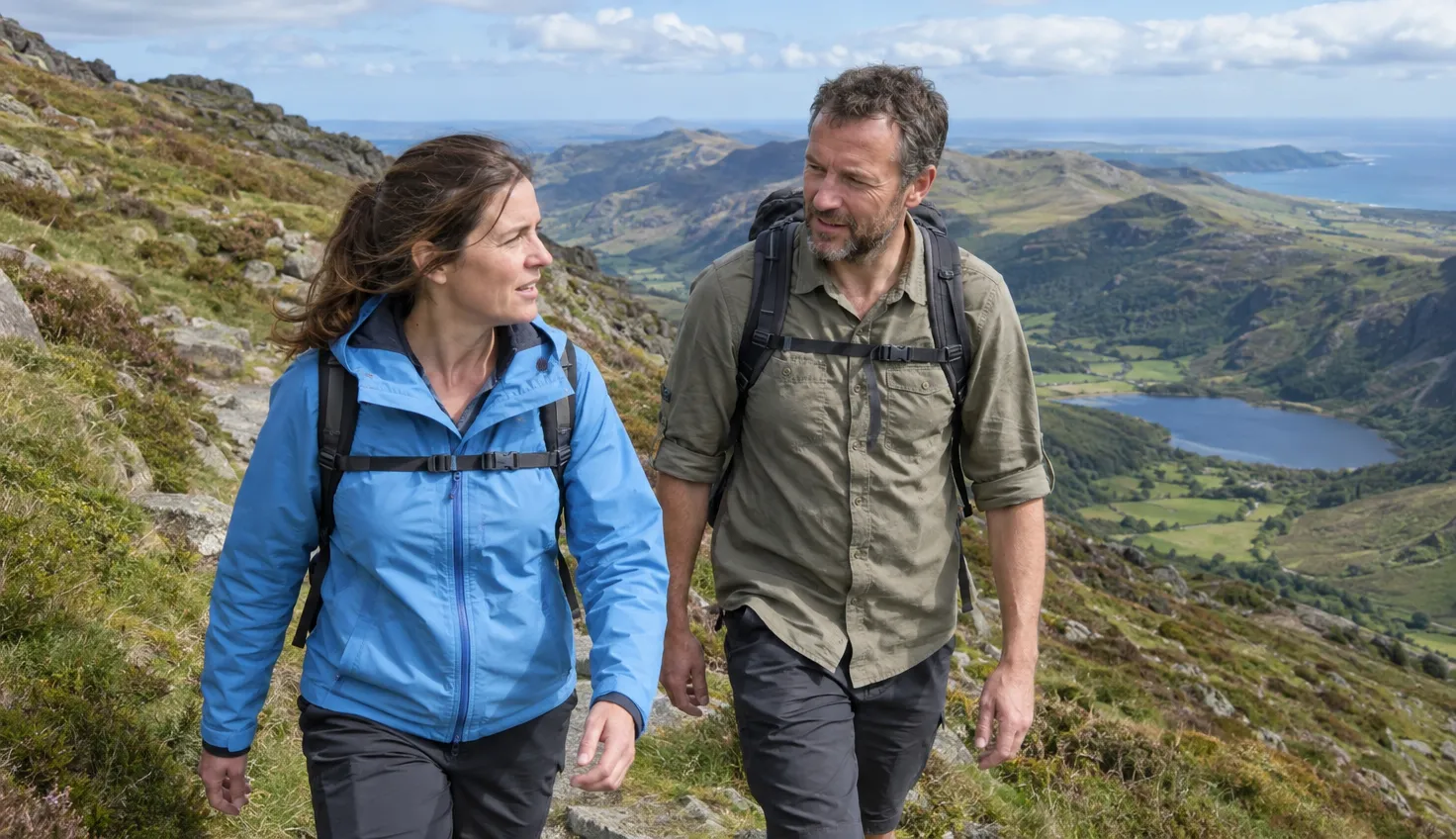
The full Nantlle Ridge traverse is a one-way walk, from Rhyd Ddu to Nebo. The real planning question is how you get back to the start.
Between the two ends sits one short main scramble. The rest is mostly ridge walking, with a few awkward steps.
How long and how hard
Allow 4.5 to 8 hours and 11 to 14 km, depending on the guide. The Great Outdoors (TGO) gives about 7 hours for 13.6 km, with 983 m of climbing.
The walk is on Ordnance Survey 1:25,000 map OL17.
The chances are you can walk it without seeing another soul all day. Mud and Routes still finds people stopping for lunch on Trum y Ddysgl.
On a day of low cloud, the lake walks from Rhyd Ddu stay low.
Starting at Rhyd Ddu
Start from the Rhyd Ddu Path car park or from the Welsh Highland Railway station in the village. The car park has a toilet, and the village has a pub and a tearoom.
The ridge is in view to the west from the start.
Cross the road and follow the waymarked field path. It goes through a metal kissing gate and over slate slabs laid as stepping stones.
The path is straightforward, with arrows and “Private” signs along the way.
Y Garn, the first top of the ridge
The first top is Y Garn at 633 m. Mud and Routes calls it a slog.
Expect about an hour of dragging yourself up a muddy, eroded track, for about 450 m of climbing.
After an hour or a little more, the path eases off. There are two summit shelters to choose from.
Mynydd Drws-y-Coed and the scramble
Guides grade this short scramble from 0.5 to 2; leave it for dry, calm weather.
Mynydd Drws-y-Coed, at 695 m, is the main scramble. Guidebooks class the ridge as a three-star grade one scramble.
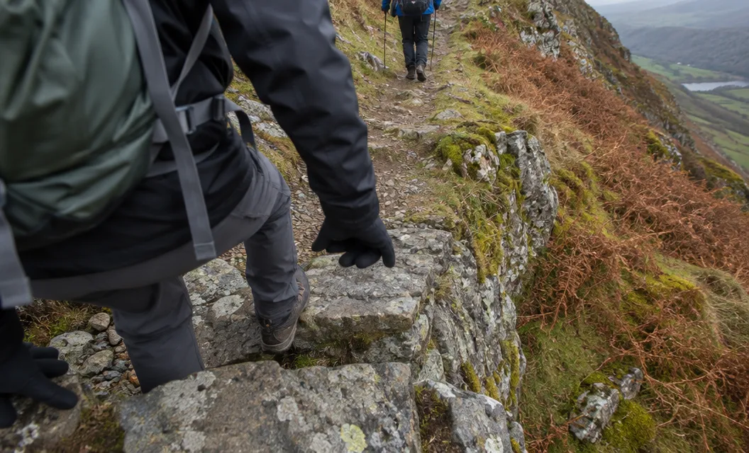
- Grade: Mud and Routes calls Drws-y-Coed a grade 0.5 scramble, with some sections Grade 1 but only just. Walking Britain grades the ascent 1 to 2, with a lot of exposure.
- The arete: The arete up to the summit is steep, narrow and quite airy in places. Try it only in good weather and with a good head for heights.
- Newcomers: TGO says exposure is never critical but may unnerve newcomers. It recommends previous grade-one experience.
- Avoiding it: Walking Britain says the scrambling is not easily avoided. Mud and Routes says a few moves can be avoided by dropping down.
There are two or three choices of line. The ones nearest Rhyd Ddu are generally the safest.
The ridge is below Crib Goch or Tryfan for technical level, and nowhere near as exposed.
Avoid the route when it is wet, and when wind is forecast. Hillcraft found the slate a bit greasy after damp weather in 2011.
Walkingworld notes some big drops and past accidents here, so take care, especially in wet conditions. Check the mountain forecast first.
Mud and Routes calls the ridge a serious proposition in winter conditions.
Trum y Ddysgl and the Hiatus
Next comes Trum y Ddysgl, at 709 m. The name means Dish Ridge.
The path is simple and good, set a couple of metres back from the ridge edge.
In mist, take care at the summit. It is all too easy to miss the turning up to the right that reaches the top. You then contour around instead.
Then comes the notch between Trum y Ddysgl and Tal-y-mignedd, which some call the Hiatus.
The notch has much more exposure than you would expect. The path drops to the col and climbs out again, with one or two awkward steps.
A small rock step in the middle of the narrow col needs careful negotiation.
The obelisk on Mynydd Tal-y-mignedd
At 653 m, Mynydd Tal-y-mignedd is the top with the obelisk. You cannot miss it.
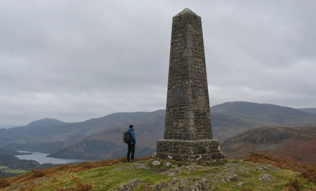
The large stone obelisk was put up to commemorate Queen Victoria’s Diamond Jubilee.
Here you decide whether to go on or turn round.
- Turn round: Walkingworld says this route can take you back to Rhyd Ddu from here, or on to Nebo. Walk-snowdonia suggests going back the way you came.
- Into Cwm Pennant: walk-snowdonia’s other option is a path that has become more overgrown in recent years.
- Half-ridge: Walking Britain’s route drops northwest from the obelisk, mostly without a path. It says map and compass proficiency is required.
Across Cwm Pennant lies Moel Hebog, which has its own page.
Craig Cwm Silyn and the way down to Nebo
The descent to Bwlch Dros-bern is not pleasant: eroded and steep.
Craig Cwm Silyn is the highest point on the ridge, at 734 m.
It has two summits. The second has a square stone tower, but the actual summit is the first.
The final scramble of the day, on the northern flank of Craig Pennant, can be avoided 100 m to the west.
After that come Garnedd-goch at 700 m and Mynydd Graig Goch at 610 m.
From there, follow wooden stakes northwest for 1 km to Llyn Cwm Dulyn. At the outflow, follow the lane for 1.2 km to the crossroads in the centre of Nebo.
Closing the loop
The way back from Nebo to Rhyd Ddu takes two buses, with a change in Caernarfon, and around 1 hour 20 minutes.
- First bus: the G5 from Nebo to Caernarfon. Bustimes.org showed it running Monday to Saturday (October 2026).
- Second bus: the S3 Sherpa’r Wyddfa from Caernarfon to Rhyd Ddu Station. From Porthmadog, take the S4 to Beddgelert and change to the S3.
- Two cars or a taxi: Visit Wales recommends two cars for a group. Parking in Nebo itself is not practical, so Mud and Routes names a spot on the Cwm Dulyn road near Nebo, at grid reference SH483 500.
We compile and explain public route and safety information. We guide nobody and sell nothing on the hill.
Do not start until the way back is settled. Leave the second car at the Cwm Dulyn road spot, or check Traveline Cymru for the G5 on the day you walk.