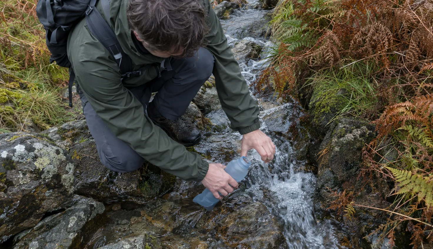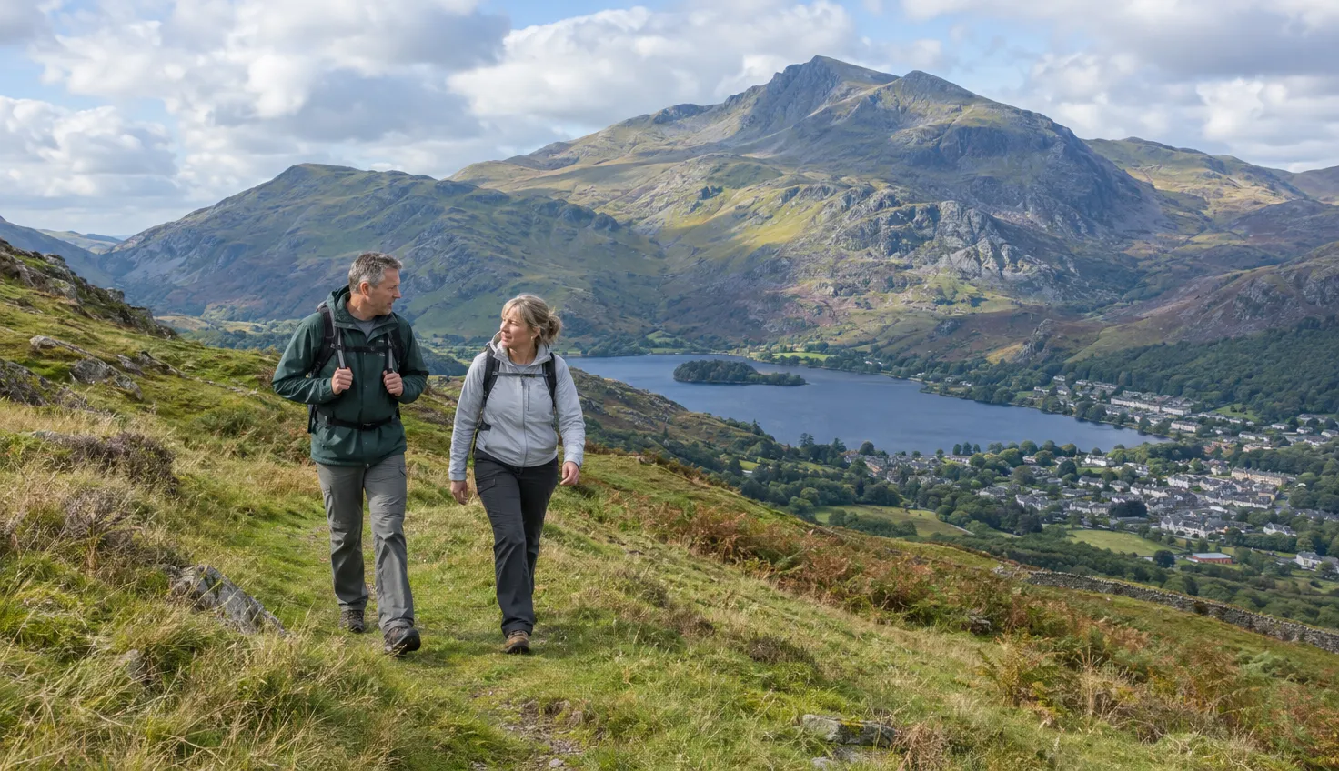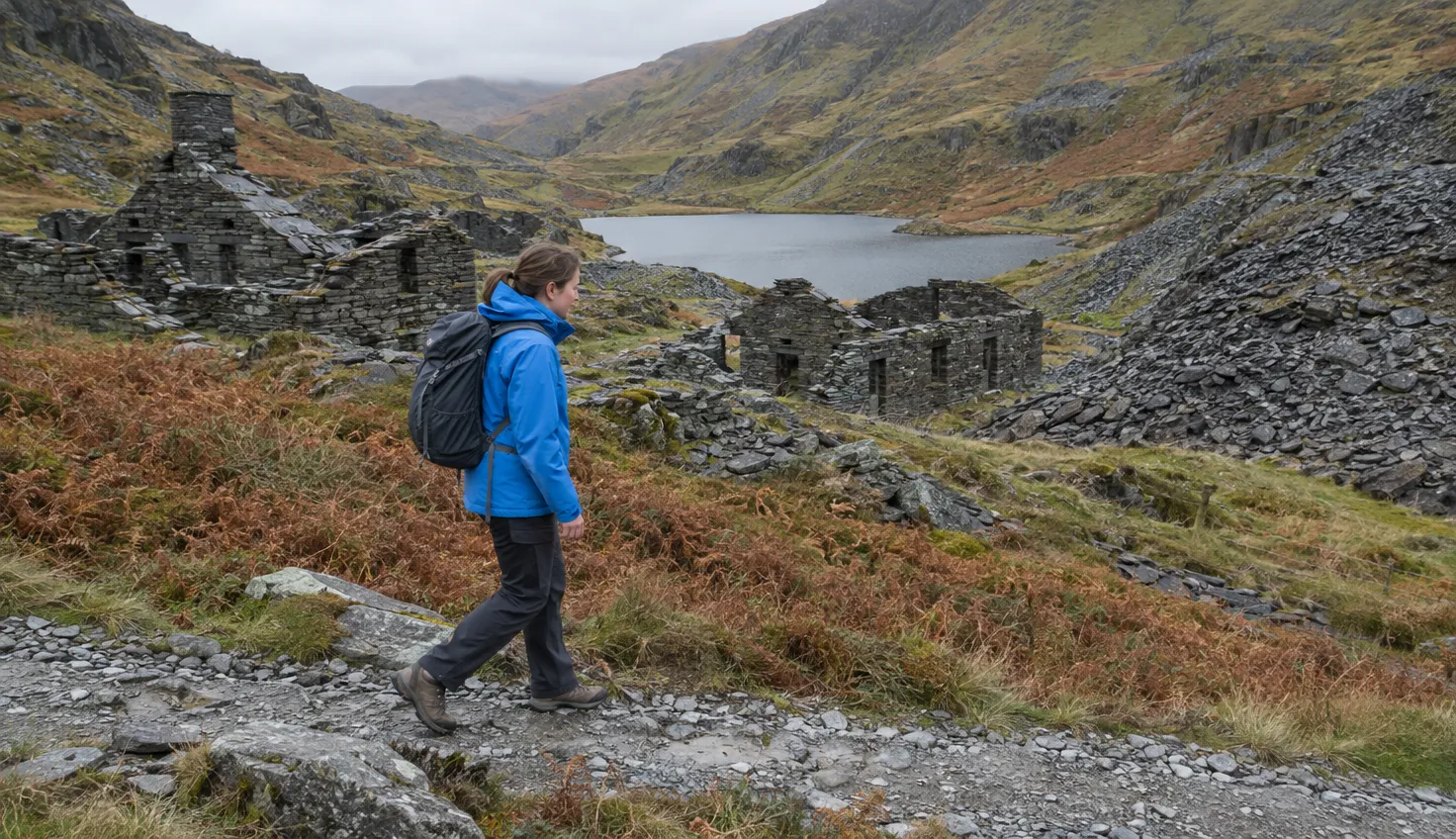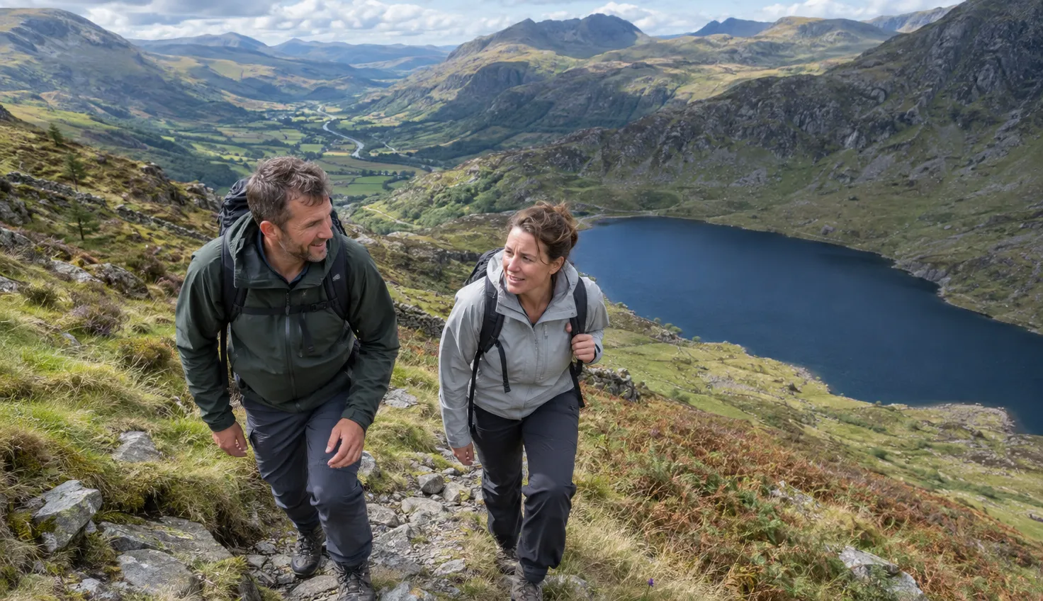
Y Garn is 947 m high, and the climb from the Ogwen car park is steep rather than technical.
Nearly Uphill allows about four hours for the circuit; some walkers finish in three.
The Walking Englishman lists it at 4.5 miles (7.2 km) with 626 m of climbing, and rates it Hard. Nearly Uphill reports no scrambling, only some rock steps and loose scree near the summit.
Starting at the Ogwen Centre
The walk starts at the Canolfan Ogwen Centre in Nant Ffrancon, grid reference SH 649603. It is on Ordnance Survey (OS) Explorer map OL17.
Parking in the Ogwen valley is extremely limited, says the Eryri National Park Authority. Spaces fill up quickly in the spring and summer holidays.
The Ogwen Centre car park is paid and takes card payments only. Check the Authority’s Ogwen visit page on the day for current charges.
Never park on the double yellow lines along the A5. The Authority says this is not allowed at any time, on the road edge or the pavement.
Two buses serve Ogwen:
- T10: links Bangor, Bethesda and Betws y Coed, and stops at Llyn Ogwen. The trailhead is a minute’s walk from the stop.
- Bws Ogwen: a 9-seater electric bus from Bethesda to Llyn Ogwen.
If Ogwen is full, the buses from Bethesda are the answer. The car park at Bethesda Football Club has a gate that is closed from 22:00 to 07:00.
Up past Llyn Idwal
The path leads from the Ogwen Centre to Llyn Idwal, the lake in Cwm Idwal. The visitor centre stands next to the car park.
The first stretch is gentle. Only 70 m of height is gained by the time the path reaches the shore of the lake.
Y Garn lies inside a protected area. The National Trust says the nature reserve includes the summits of Y Garn and Y Glyder Fawr.
The Trust asks visitors to enjoy the lakes from the shores. That includes Llyn Clyd and Llyn y Cwn, which lie higher up. It also lists no camping, no fires, no drones, and dogs on a lead.
The Pinnacle Crag path and its gradients
Above the lake the climb begins.
The route goes up the Pinnacle Crag path, the ridge to the right of Llyn Idwal. Nearly Uphill prefers this way first, because the other way round leaves a long climb between Llyn y Cwn and the summit.
The Walking Englishman gives two measurements for the climb:
- over 200 m gained in half a kilometre, some of it at a 50% gradient
- on the summit ridge above it, 250 m in a kilometre of walking, a 25% gradient
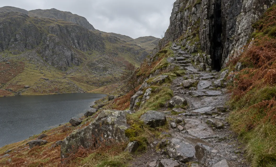
Nearly Uphill says both directions have steep sections.
On the summit
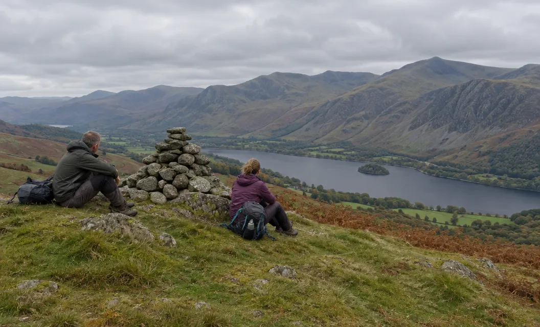
Nearly Uphill warns of loose scree as you approach the top. In thick cloud, it says, take extra care to stay on the path and not drift towards the edges.
Mountain conditions can change rapidly, says the National Trust. The Authority calls walking boots and waterproof layers essential.
Read the mountain forecast before you leave Ogwen, and plan to look at the sky again at Llyn Idwal.
The two ways back to Ogwen
From the summit, the path descends evenly, at a 20% gradient over one kilometre, to the upland lake of Llyn y Cwn. Turn left there for Devil’s Kitchen.
Below that turn, the accounts disagree. The Walking Englishman found it disappear into a boulder field, where it chose its own course. Nearly Uphill calls it really good, with decent knees or poles.
The summit is where you choose your way back to Ogwen. There are two:
- Devil’s Kitchen, via Llyn y Cwn: the Authority calls the route towards Twll Du, the Welsh name for Devil’s Kitchen, challenging and steep, crossing loose rock and large boulders. Its Cwm Idwal walk climbs towards Twll Du.
- The way you came up: this line has the 50% and 25% gradients above, so neither way down is easy.
For a day when you will not go up at all, the Authority describes a shorter, less challenging Cwm Idwal route that avoids Twll Du.
We compile and explain public route and safety information. We guide nobody and sell nothing on the hill.
Whichever way you come down, the path reaches Cwm Idwal and the Ogwen Centre where you started.