Glyder Fawr has a reputation problem, and it is the wrong reputation.
Ask about the Glyderau and you hear about Tryfan, Bristly Ridge and the Cantilever Stone. Every one of those is a scramble.
So the whole range gets filed under “not for walkers”.
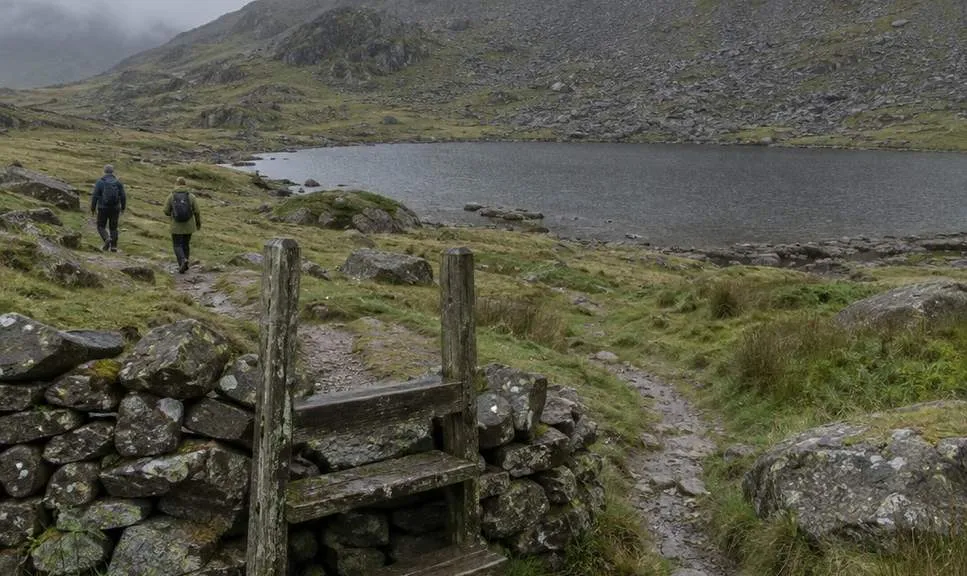
There is a walkers’ way onto the Glyderau, and it starts at the back of Cwm Idwal.
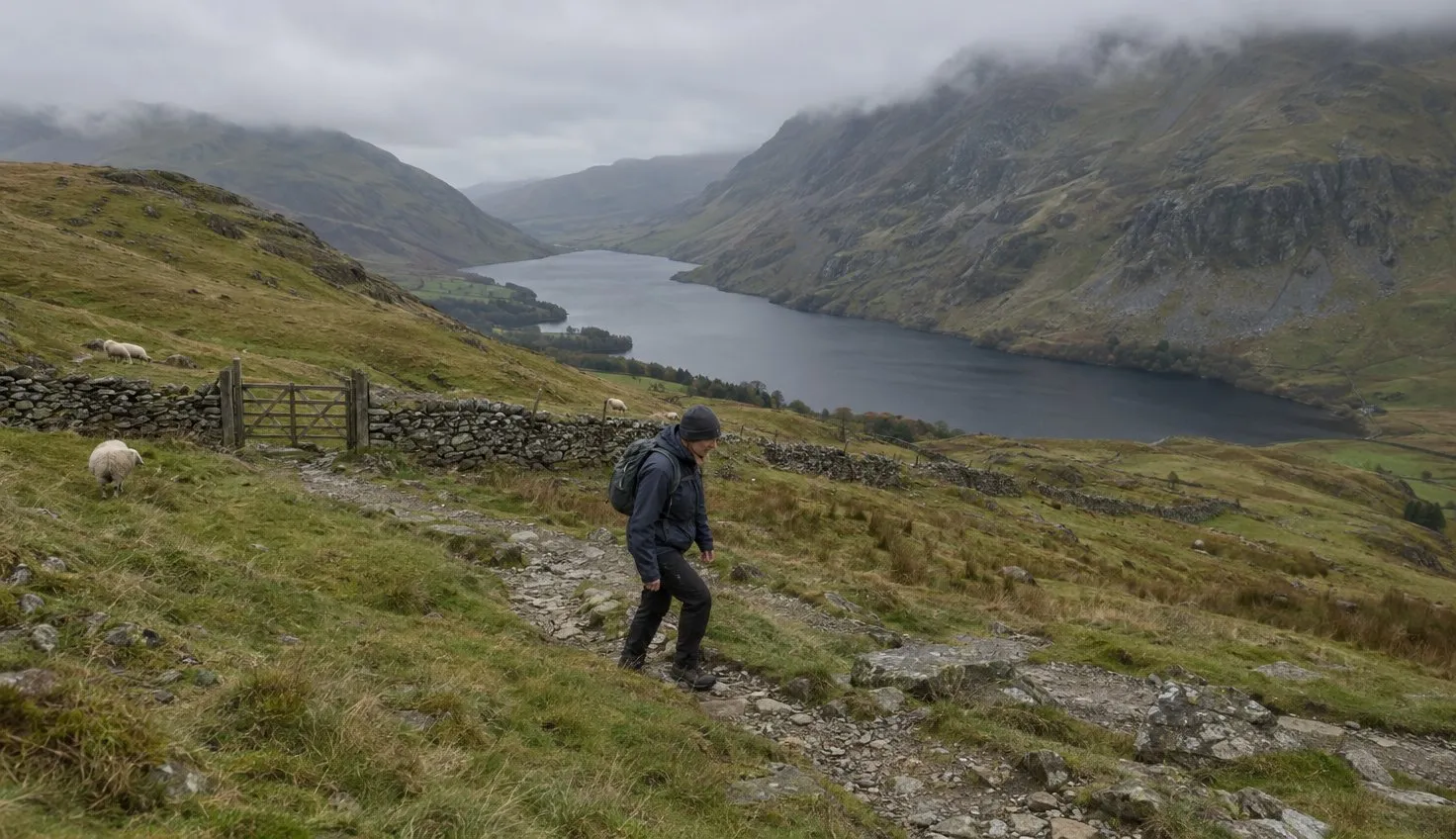
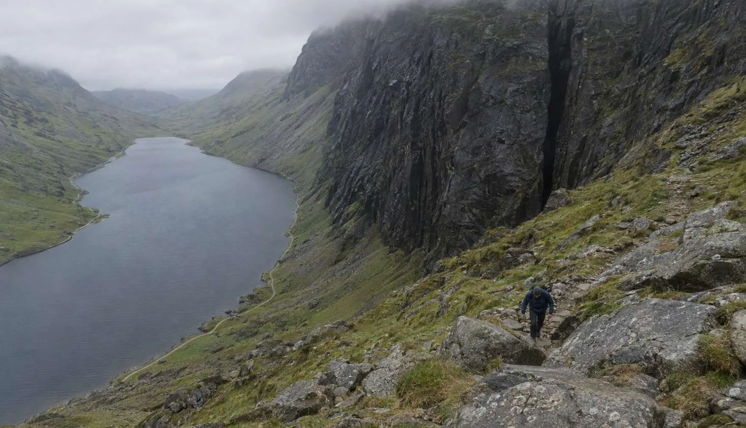
The path climbs beside the Devil’s Kitchen, the black cleft at the head of the cwm, to a small lake on the plateau rim.
From there, a scree path zig-zags up to the summit of Glyder Fawr, the highest point in the range.
You will use your hands on the steepest part. You will not need a rope, a helmet, or a head for heights of the Crib Goch kind.
The catch is that the two guides describing this climb use two different words for it. Read both before you decide.
Two guides, two words for one climb
Three public route guides cover this ground.
Their grades do not agree.
| Guide | Where it goes | Distance | Time | Grade |
|---|---|---|---|---|
| Eryri National Park: Cwm Idwal | Round the lake, up to the foot of Twll Du | 5 km | 2 hours | Moderate |
| OS Maps: Llyn Idwal and the Glyders | Devil’s Kitchen path, over the Glyders, down by Llyn Bochlwyd | 12.5 km, 8 miles | 5 to 6 hours | Medium |
| OS Maps: Glyderau Circular | The same plateau, then Tryfan on the way back | 10.5 km, 7 miles | 5 hours | Hard |
Distances are in miles to match the signage. Heights are in metres to match the maps.
The Park Authority calls the section up to the Devil’s Kitchen “a challenging route that ascends steeply”. It says some parts “require crossing loose rock and navigating around and across large boulders”.
The OS Glyderau guide calls the same section a “grade 1 scramble”. The OS Glyders guide calls it a “scrambly section” and then grades the whole day Medium.
The word changes with the writer. The ground does not.
What the three agree on is more useful than the grade. It is steep, it is loose, and it is the hardest part of the walk.
What the Devil’s Kitchen path is actually like
Twll Du, the Devil’s Kitchen, is the dark cleft in the cliff at the head of Cwm Idwal.
The path does not go into it. It climbs the boulder slope to the right of it.
Lower down, this is a made path through big blocks. Higher up, it steepens into a rocky staircase where a hand on the rock is normal.
The OS Glyderau guide warns that “navigation is key as there’s no real path” here, “coupled with a sheer drop on the left”.
It is steep, it is loose, and it is the hardest part of the walk.
Take that as a description of the top of the slope in cloud, not as an instruction to expect a cliff edge.
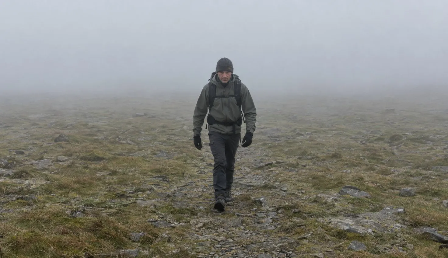
On a clear day the way is obvious. On a claggy one it is not, and the drop is real.
The top of the climb is a stile, and everything past it is easier ground.
The OS Glyders guide describes “hopping over a style at the top of this scrambly section” and arriving at Llyn y Cwn.
That small lake sits on the col between Y Garn and Glyder Fawr, and it is where the walk changes character.
From Llyn y Cwn to the summit
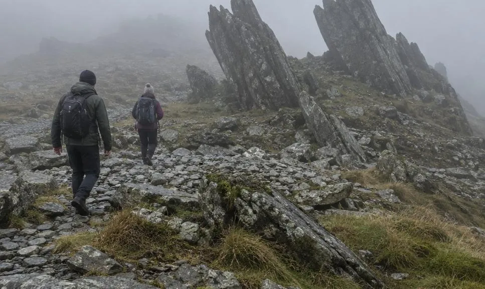
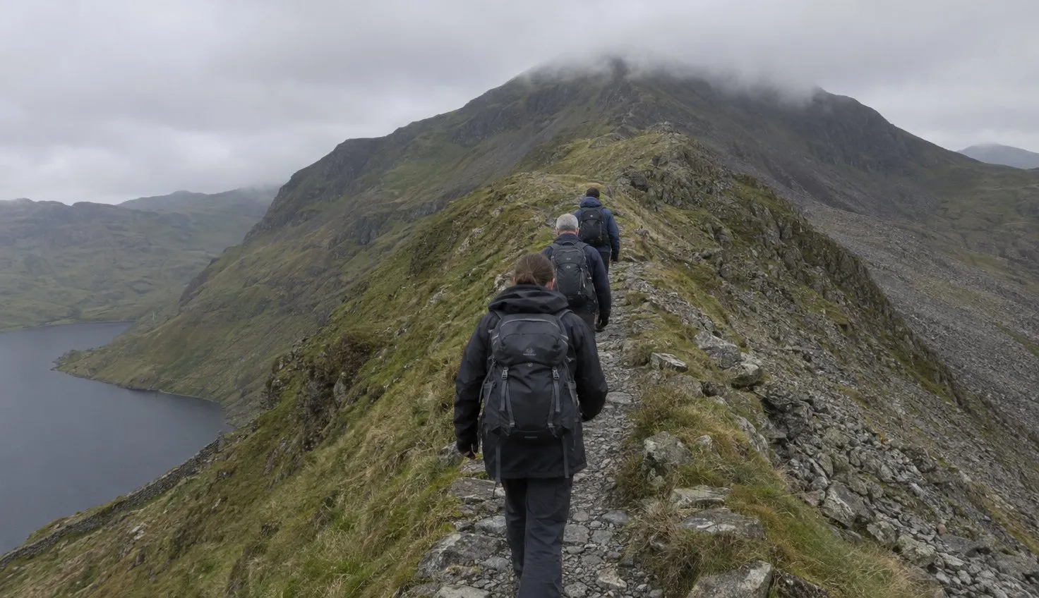
From the lake, turn left for Glyder Fawr. The OS Glyderau guide describes a path that “zig zags its way through the scree and up onto the Glyderau plateau”.
This is a walk again.
It is a loose, tiring walk, but nothing on it needs your hands.
The summit is 1,001 metres by the OS figure, and it is a strange place. The guide describes a crown of “claw-like rocks” and, on the day its writer was there, visibility of “pretty much zero”.
Glyder Fawr is the high point of the range, and you reach it without scrambling at all.
That is the answer to the question in the title.
The scramble is a few minutes below the stile. Everything else is walking.
Glyder Fach, at 994 metres, is a short way further along the plateau. It is the more photographed summit, and the block field at its top is where the Cantilever Stone sits.
The way down, and the Tryfan trap
The simplest descent is the way you came.
The Devil’s Kitchen path feels steeper down than up, and wet rock makes it slower again, so leave time.
The OS Glyders route goes on instead, over Glyder Fach and down to Llyn Bochlwyd. Its one warning is worth quoting in full.
Keep left all along this path, otherwise you might find yourself veering off onto the mountain of Tryfan.
Tryfan is not a walk, and the path towards it does not warn you.
The OS Glyderau guide states plainly that Tryfan “is a grade 1 scramble the whole way”. The same guide says you can “avoid Tryfan altogether by heading straight down from the Glyder Plateau”.
If you have not scrambled before, that is the line to take. Tryfan is a separate decision for a separate day.
Getting to Ogwen without a fight over parking
Everything on this walk starts at Llyn Ogwen on the A5, and the Park Authority is direct about the parking there.
Parking in the valley is extremely limited, in the Authority’s own words, and it steers you to the bus.
- Ogwen Centre car park. A daily rate of £6, card only, with two blue badge spaces.
- Lay-bys along the A5. A limited number, and double yellow lines where you may not stop.
- T10 bus, Bangor to Corwen. Get off at “Llyn Ogwen”, a minute’s walk from the trailhead.
- Bethesda football club. Park there for £6 a day and take the bus in.
The Authority’s own advice is that “the best and most convenient way to reach the Ogwen valley is to use public transport”. On a summer weekend that is not a suggestion.
Cwm Idwal was the first National Nature Reserve in Wales, designated in 1954. The reserve covers 398 hectares and takes in the summits of Y Garn and Glyder Fawr, so the whole climb is on protected ground.
The wider picture on where to park across Snowdonia applies here, and Ogwen fills earlier than most.
When this is not your day
This is a fair-weather walk in a way the Llanberis Path is not.
In cloud, the plateau has no path to follow and the stile is the only landmark that matters.
In winter the Devil’s Kitchen path can hold ice when the valley is clear, and then it stops being a walkers’ route.
If it is your first mountain, do the lake and not the Kitchen.
The Park Authority says so itself. Cwm Idwal “does offer a route that avoids the ascent to Twll Du”, and it calls that shorter loop suitable for less experienced walkers.
It is one of the best beginner walks in Snowdonia, and it shows you the whole climb from below.
Come back for the plateau when you have a settled mountain forecast and a day with time to spare on the descent.
We compile and explain public route and safety information. We guide nobody and sell nothing on the hill.
The Ogwen Centre has toilets and a kiosk. There is nothing above it, so fill your bottle before you cross the bridge.