From Ogwen, walkers reach Glyder Fach by Bwlch Tryfan and the Miners’ Track, and scramblers by Bristly Ridge.
Bristly Ridge is a Grade 1 scramble. Save it for a dry day with little wind.
The summit and the Cantilever Stone
The British Mountaineering Council (BMC) gives Glyder Fach as 994 metres (3,261 feet). That clears the 3,000 foot mark that gives the Welsh 3000s their name.
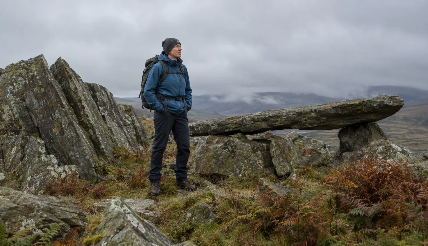
The top is a pile of large boulders with gaps between them.
Glyder Fach is one of the few mountains where both hands and feet are needed to reach the very top. The highest block is a horizontal rock, rather like a miniature bridge.
There is no cairn, and the rocks would be very slippery when wet. Anything dropped between the boulders will disappear for good.
The Cantilever Stone is close by. It is a long balanced rock that many try to stand on.
Parking and the bus at Ogwen
The small car park at the Ogwen Centre is run by the Eryri National Park Authority. Its Ogwen page says parking in the Ogwen valley is limited and spaces fill quickly at peak times (October 2026).
Double yellow lines run along parts of the A5 at Ogwen, and parking on them is not permitted at any time. That includes the roadside and the pavement.
- TrawsCymru T10: links Bangor, Bethesda and Betws y Coed and stops at Ogwen. For this bus, park at the football club in Bethesda.
- Bws Ogwen: a nine-seat bus between Bethesda and Ogwen.
- Toilets: public toilets at the Ogwen Centre, none at the top.
The walkers’ route by the Miners’ Track
Two of the three guides that mention the scree path beside Bristly Ridge steer away from it.
Walking Britain’s circuit from Ogwen Cottage climbs “the steep loose path to the south of the famous Bristly Ridge”. The circuit of Glyder Fach and Glyder Fawr is 5.5 miles (8.9 km). It has 2,485 feet (753 m) of ascent, takes about 5 hours and is graded hard.
- From the small car park at Ogwen Cottage, take the well-made path heading south.
- After a few hundred yards, bear left and climb steadily to Llyn Bochlwyd.
- Continue up to Bwlch Tryfan, the col below Tryfan.
- Take the Glyders Miners’ Track, which links the col with the plateau east of Bristly Ridge. It crosses below the Glyder Fach cliffs.
This is not the Miners’ Track on Snowdon, which has its own page. This one runs between Bwlch Tryfan and the plateau.
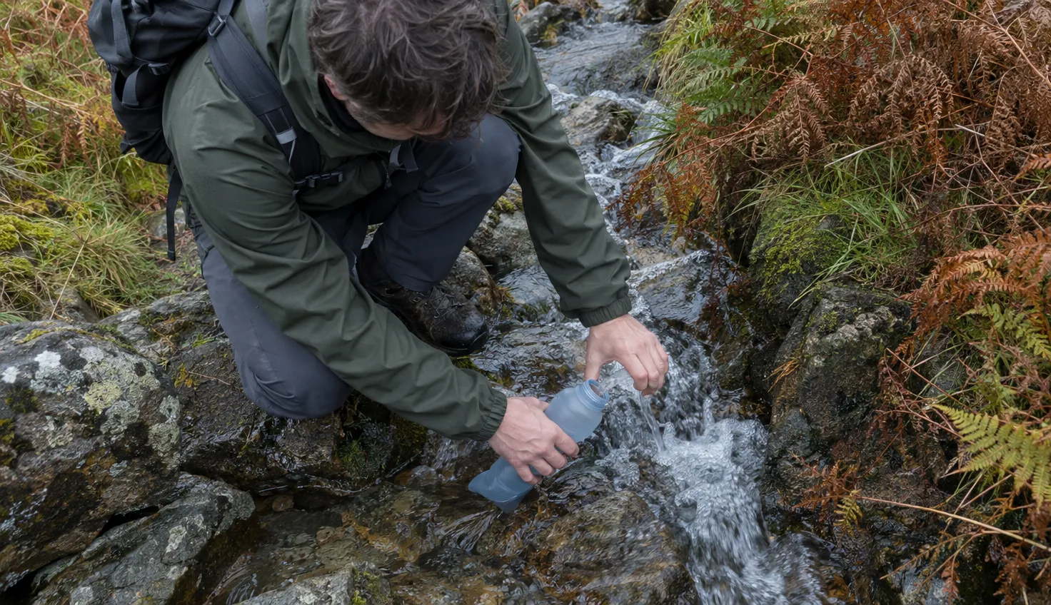
The track starts a few boulders down from the Cantilever Stone. The right fork leads to Pen-y-Gwryd, and a left fork leads down to Bwlch Tryfan.
Make sure you turn left at the correct point.
The steep path south of Bristly Ridge is the shorter way, but Get Lost Mountaineering, whose walk is dated 6 May 2016, calls the descent beside the ridge “steep and now loose and dangerously eroded so cannot be recommended”. Mud and Routes describes “a scree path that drops alarmingly to the side of Bristly Ridge”.
The longer Miners’ Track “was the best route” for Mud and Routes. Get Lost Mountaineering says it is longer in distance “but not in time and certainly less hard on the knees”.
The track has had trouble too. As of November 2018 it “has some loose sections and has seen some landslips in recent years”. Parts had been washed away and were being rebuilt.
Bristly Ridge and what Grade 1 asks
Bristly Ridge is graded 1 by UK Scrambles, with some exposed sections but plentiful hand holds.
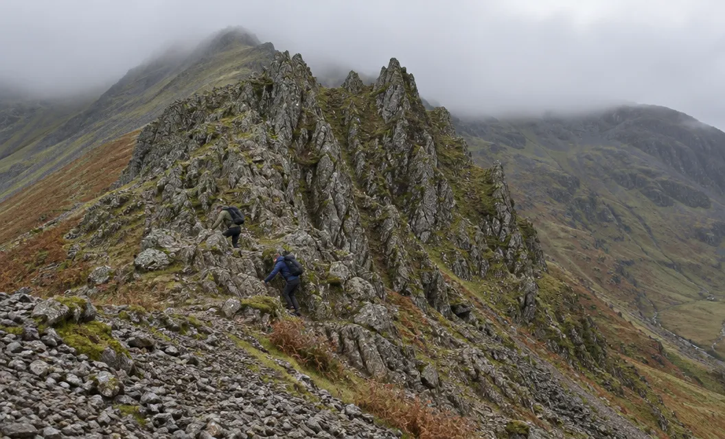
Even Grade 1 uses both hands and feet. The BMC calls Grade 1 essentially an exposed walking route. Most Grade 1 scrambles are relatively straightforward, with many difficulties avoidable, typically attempted without ropes.
The approach is by Bwlch Tryfan. A stone wall runs up to the ridge: “follow it on the left side until the stile at the end”.
The ridge is reached through Sinister Gully, “more of a staircase with great holds all the way to the top”.
The slight down climb just before the Great Pinnacle is the hardest part. The Great Pinnacle Gap is probably the crux, the key difficulty of the route.
The route is 3.88 km (about 2.4 miles) with 554 m of elevation, and takes 3 to 4 hours. The ridge is more easily done in ascent than descent.
| Walkers’ route | Bristly Ridge | |
|---|---|---|
| From Bwlch Tryfan | Miners’ Track | Wall to the stile, then Sinister Gully |
| Rock | Hands at the top block | Hands and feet |
| Grade | Path, a few easy scrambly steps | Grade 1 scramble |
Weather: not in wind, and not on wet rock
Rain can render the rock slippery. Strong gusts, the BMC says, mean walking and scrambling are tricky on occasions.
The BMC wrote this advice for Tryfan’s north ridge, but it fits here. Like all scrambles, the ridge is best kept for a decent day. Low cloud adds extra spice to the navigational problems.
Get Lost Mountaineering advises a clear dry day with little wind for its walkers’ circuit. In winter it calls that circuit a very serious undertaking, where ice axe and crampons would be essential.
We compile and explain public route and safety information. We guide nobody and sell nothing on the hill.
Castell y Gwynt and the crossing to Glyder Fawr
Castell y Gwynt can be climbed over or bypassed.
Castell y Gwynt, the Castle of the Winds, is 972 m by the BMC’s list. It is a rock outcrop on the ridge between Glyder Fawr and Glyder Fach.
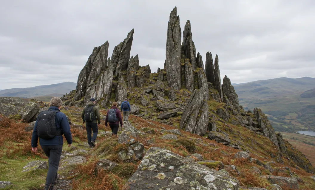
It is a very substantial outcrop, well worth a visit, with some very large boulders to clamber over. You can avoid it by losing some height and rejoining the crest. Its scrambling is an optional extra.
The plateau between the two Glyders is clear, with occasional cairns. In misty conditions you may well need to take a bearing.
Its neighbour Glyder Fawr is 1,001 m by the BMC and OS Maps, and 999 m by Get Lost Mountaineering.
The scree down to Llyn y Cwn is the hard part. Walking Britain calls the descent the worst part of its walk, “treacherous” loose slippery scree. Walk up Snowdon calls it “steep, loose and largely unpleasant”.
Below Llyn y Cwn, the path leads down the Devil’s Kitchen to Cwm Idwal.
The paths down through those cliffs, says Adventure Smart Wales, can be very difficult to find in misty conditions or in darkness.
From Llyn y Cwn, head down a shallow gully past a large cairn to a low wall with a wooden stile. Then turn sharp left, not straight on, because there is a huge drop there.
Which way down from Glyder Fach
Pick the way down at the summit, from the cloud, the wind and your legs.
- Back by Bwlch Tryfan. Take the Miners’ Track to the col, then the clear path past Llyn Bochlwyd to the start.
- Down Y Gribin, for scramblers. UK Scrambles gives Gribin Ridge to Llyn Bochlwyd. A broken path then leads towards the car park and becomes more defined about halfway down.
- Over to Glyder Fawr and the Devil’s Kitchen. This is the OS Maps Llyn Idwal and the Glyders route taken the other way: 8 miles (12.5 km), 5 to 6 hours, rated Medium.
If the cloud is down or the wind has risen, go back by the Miners’ Track to Bwlch Tryfan. The crossing to Glyder Fawr asks for clear weather.