Most walkers heading for Snowdon buy one map: OS Explorer OL17.
It is the right sheet for Snowdon itself and for the hills around it in the northern half of the national park.
What it does not do is cover the whole of Eryri. Go far enough south and OL17’s coverage simply runs out.
That gap surprises people who assume one Snowdonia map covers everywhere. It does not, and knowing which sheet you actually need saves a wasted trip to the outdoor shop.
The links to Amazon on this page are affiliate links. Should you buy through one, a small commission comes back to the site, and your price stays as it was.
| Your day out | What to carry |
|---|---|
| You are walking Snowdon, the northern hills or the Conwy Valley | OS Explorer OL17 |
| You are walking Cadair Idris or around Bala Lake, in the south | OS Explorer OL23 |
OS Explorer OL17
Covers Snowdon and the north of the park
OS Explorer OL17 Snowdon map Snowdon, the northern hills and the Conwy Valley1:25 000 scale, heights in metres Read the full specification on AmazonOS Explorer OL17 is built around Snowdon itself. It covers the mountain along with the wider hills of northern Snowdonia and the Conwy Valley.
The sheet marks all six routes up Snowdon, from the busy Llanberis Path to quieter lines further round the mountain.
That is enough choice for most walkers without ever needing a second sheet for this ground.
One map, six ways up.
If your local shop does not stock it, you can find the OS Explorer OL17 map on Amazon.
OL17 is the only map most Snowdon walkers will ever need, right up until they head further south. That is exactly where its coverage stops.
OS Explorer OL23
Covers Cadair Idris, Bala Lake and the south, where OL17 stops
OS Explorer OL23 Cadair Idris and Llyn Tegid map Cadair Idris and Llyn Tegid, also known as Bala Lake1:25 000 scale, public rights of way marked Read the full specification on AmazonCoverage on OL17 stops well north of Cadair Idris and Bala Lake. Walk into that ground, in the south of the national park, and you need a different sheet.
OS Explorer OL23 covers Cadair Idris and Llyn Tegid, also known as Bala Lake, at the same 1:25 000 scale. It marks public rights of way, byways, trails and bridleways across that country.
A map bought for Snowdon will not help you south of it, however good it looks.
Buy the one that covers where you are actually walking.
The two sheets work together; they do not replace each other.
Once you know your route falls in that southern half of the park, you can find the OS Explorer OL23 map on Amazon.
What 1:25 000 actually means underfoot
Both sheets use the same scale, 1:25 000, where every 4cm on the paper is 1km on the ground.
That is close enough detail to show individual field walls, paths and crags, not just the shape of a hill. A smaller-scale road map flattens all of that into a single block of green.
Four centimetres on paper. One kilometre on the ground.
Heights on both sheets are in metres, not feet. That matches UK hill signage, which gives distances in miles and heights in metres.
Explorer or Landranger
Ordnance Survey also publishes a Landranger series, at 1:50 000 scale, covering a much wider area on the same size of sheet.
That wider view suits road touring or general reference, where you want the shape of a whole area at a glance.
For hill walking, where you need to see individual paths and crags, the Explorer series is the one to carry. Both OL17 and OL23 are Explorer sheets, built for exactly this kind of walking, not Landranger.
Paper beside the phone, not instead of it
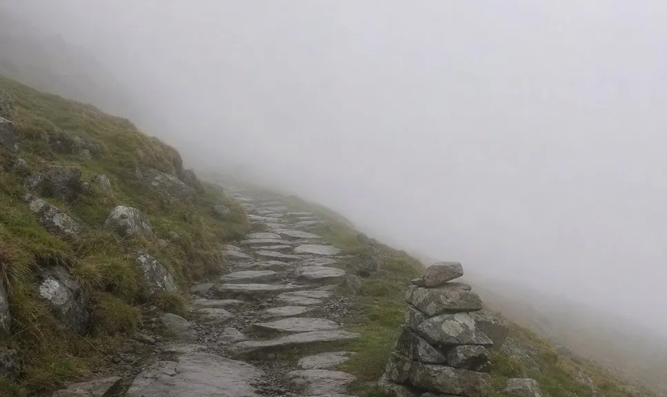
A phone with a mapping app is genuinely useful. It is also the wrong thing to rely on alone in these hills.
Cold weather is hard on a battery, and a screen can crack, lose signal or simply die at the worst possible moment.
A paper map needs no signal and no charge, which is the whole reason to carry one alongside your phone. Keep both, and let the paper be the one that never lets you down.
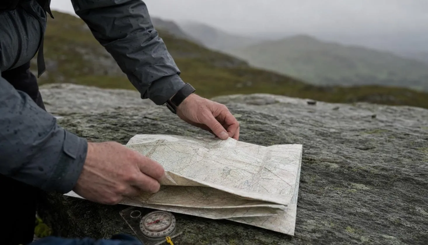
Snowdonia weather turns fast. A paper map still works when cloud comes down over the summit, with no screen to fail.
None of that replaces checking the mountain forecast from the Met Office, Britain’s national weather service, before you set off.
Standard or weatherproof
OS Explorer OL17 comes in standard or weatherproof versions. The weatherproof edition has a laminate finish, resistant to water and general damage.
The weatherproof version is worth having if you walk often, or if wet weather is likely on the day. For an occasional trip, a standard paper map inside a clear map case works almost as well.
A map case is reusable across different sheets and keeps a standard map dry and legible in the rain. Either way, the map inside it is the part that matters.
Fold it before you go
Buy the right sheet. OL17 covers Snowdon and the north, OL23 covers Cadair Idris and the south. Either way, there is still one more thing to do before you put it in your rucksack.
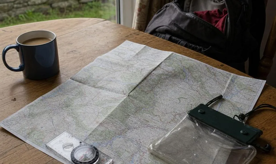
A map only helps if you can find your route on it quickly, in the wind, without unfolding the whole sheet. Fold it to your planned route the night before you go.
Do that at the kitchen table, not at the car park in the rain.
Mark your route, check where the paths cross, and know which fold shows your line before you set off.
We compile and explain public route and safety information. We guide nobody and sell nothing on the hill.
If something does go wrong on the hill, knowing what to do and how mountain rescue works is worth reading before you need it.