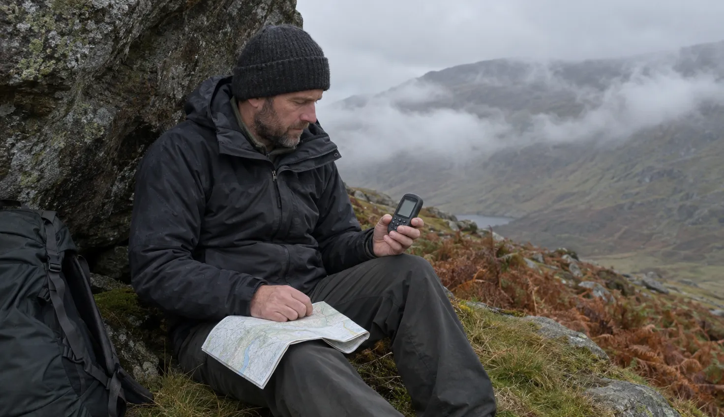
A handheld GPS is worth carrying as the backup to a map and compass, never as their replacement.
If you walk in gloves in winter, start with the Garmin GPSMAP 67, which works by buttons. Garmin rates its built-in battery at up to 180 hours, the longest of the three units below.
A Cairngorm Mountain Rescue team leader told the British Mountaineering Council (BMC) that the cold reduces the life of phone batteries. Two men with no map or compass spent a winter night out when their smartphone ran flat. The phone is also your most likely way to call for help.
If you buy through an Amazon link on this page, the site earns a small commission and your cost does not change.
All three units come from one maker, Garmin, so the choice is between models, not makers.
| Your day out | What to carry |
|---|---|
| You wear thick gloves in the cold and want buttons and the longest battery rating of the three | Garmin GPSMAP 67 |
| You want a compact unit and like to swipe and zoom on a touchscreen | Garmin eTrex Touch |
| You want a unit on two AA batteries that can be swapped on the hill | Garmin GPSMAP 65 |
Garmin GPSMAP 67
You wear thick gloves in the cold and want buttons and the longest battery rating of the three
Garmin GPSMAP 67 handheld GPS Buttons, up to 180 hours in GPS modeTopo mapping, 3-inch screen Read the full specification on AmazonThe unit works by buttons, with a keypad lock that stops accidental presses. Ordnance Survey (OS) says buttons are useful when wearing thick gloves.
The battery is internal and rechargeable, with up to 180 hours in GPS mode. The screen is 3 inches and sunlight readable.
Garmin eTrex Touch
You want a compact unit and like to swipe and zoom on a touchscreen
Garmin eTrex Touch handheld GPS 3-inch touchscreen, compactUp to 130 hours, IP67 Read the full specification on AmazonGarmin’s listing calls the eTrex Touch compact and lightweight.
You zoom the map by pinching with two fingers, and there is a lock for the touchscreen. The internal battery lasts up to 130 hours with all satellite systems and multi-band on, in typical use.
Satellite imagery comes only with an Outdoor Maps+ subscription. OS says touchscreens are harder to use with cold hands or gloves, which is why the GPSMAP 67 comes first for winter days.
Garmin GPSMAP 65
You want a unit on two AA batteries that can be swapped on the hill
Garmin GPSMAP 65 handheld GPS Buttons, two AA batteries, up to 16 hoursTopoActive Europe maps, IPX7 Read the full specification on AmazonThe GPSMAP 65 works by buttons. It takes two AA batteries, alkaline, NiMH or lithium, and Garmin rates the battery life at up to 16 hours.
A rescue team leader quoted by the BMC says: “if it’s a GPS then carry spare batteries.”
The screen is 2.6 inches, and the listing names preloaded TopoActive Europe maps.
What a handheld GPS does that a phone does not
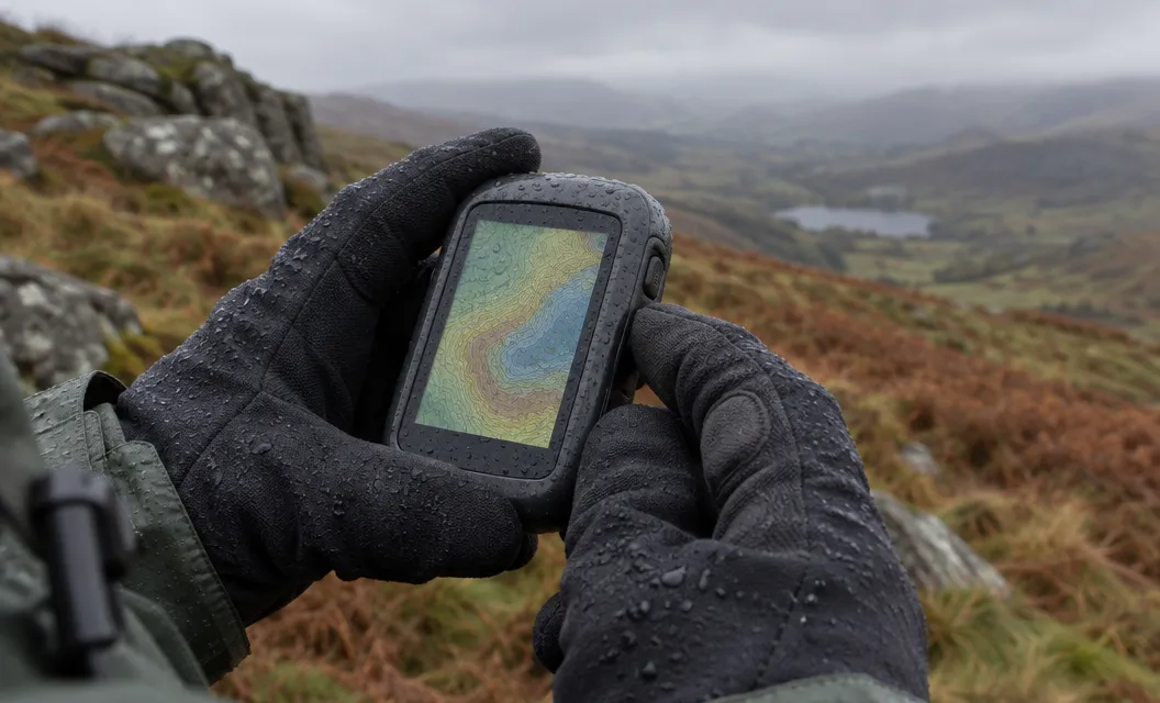
A GPS gives you a second system that does not run on your phone.
- Battery. GPS functions use quite a lot of extra power on a phone, and most phones have no easily replaceable battery.
- Cold. Most dedicated GPS devices are rated for a wider range of temperatures than a phone.
- Rain. The capacitive touch screens on phones “do not like heavy rain, even in a waterproof case”. Each drop can register as a finger touch.
- Maps. All three units have topographic mapping. The GPSMAP 65 listing names preloaded TopoActive Europe maps, and the listings for the GPSMAP 67 and the eTrex Touch give the map type as Europe.
In the cold, keep any device next to your body. A GPS lasts longer there than in a bag or outer pocket. Keeping a phone warm can help its battery too.
What a GPS does not replace
A GPS is not a substitute for a map and compass, and it cannot be your only navigation tool. The BMC says so, and says that owning one should not lead you to attempt a walk beyond your experience or ability.
Any device can fail. A 2022 survey reported by the BMC found that 87% of people had used a smartphone or GPS for navigation at some point. Of those, 40% had a device stop working in some way.
The Eryri National Park Authority asks walkers to carry a map and compass “even if you think you are familiar with the route”. It adds that you need map reading skills and the ability to use a compass.
Adventure Smart Wales warns about the Miners’ and Pyg tracks junction on Yr Wyddfa. Walkers descending in mist frequently get lost there.
Phone, GPS or both
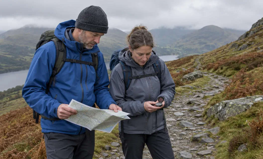
Whatever you carry, a paper map and a compass you know how to use come first.
- A phone with a map and compass: do not rely on the phone for navigation. Carry a waterproof case, a charged portable charger or a waterproof GPS, with a map and compass as the backup. You do not have to buy a GPS.
- A GPS alone: it cannot be your only tool.
- A phone and a GPS: keep a separate system to work from if one fails. That can be a map and compass or a separate GPS.
A GPS is worth carrying if you want a second system that does not use your phone battery.
We compile and explain public route and safety information. We guide nobody and sell nothing on the hill.
Getting the unit ready before the walk
Charge or fuel every device before you leave, and pack the paper map and compass first.
Charge the GPSMAP 67 or the eTrex Touch fully. For the GPSMAP 65, fit fresh AA batteries and pack spares.
Charge your phone as well. Start with it fully charged and avoid using it unless it is an emergency.
Read which Ordnance Survey map covers Snowdonia before you go, and how staying safe in Snowdonia works in practice.
Start with the Garmin GPSMAP 67. Choose the GPSMAP 65 if you prefer AA batteries you can swap.