The Cwm Cywarch circuit is 7.5 miles (12 km) and takes around 5 hours, with around 3 hours to the summit.
The route follows signed footpaths from the Cwm Cywarch car park, past Blaencywarch farm. The Mawddwy Walking Paths call it strenuous.
The Countryside and Rights of Way Act 2000 made the old access restrictions on the Arans irrelevant. The Act made open hill land access land.
Start at the Cwm Cywarch car park
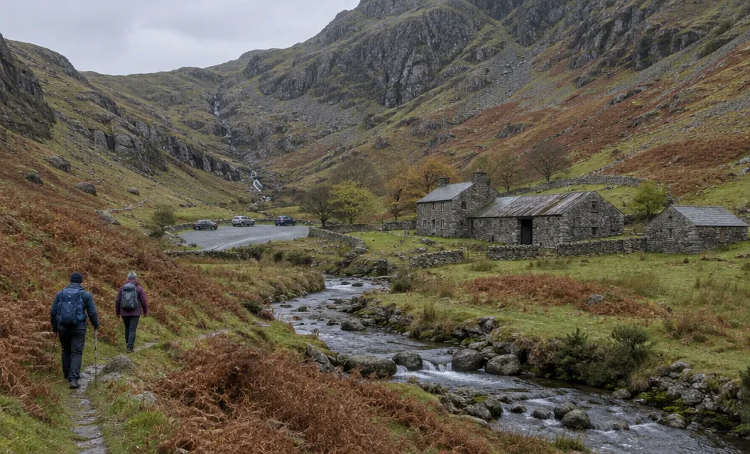
The car park is a free National Park car park with toilets, at grid reference SH852188.
It stands at the head of Cwm Cywarch, a valley reached from Dinas Mawddwy.
Drive from Dinas Mawddwy to the village of Abercywarch. At the sign for Cwm Cywarch, turn left onto the single-track lane.
The lane is 2.5 miles long and feels longer. The car park is at the very end of the valley, just before the final farm.
The route to the summit
The col is 1 to 1½ hours from the car park, and the summit around 3 hours.
- Take the signed footpath to the right of the Blaencywarch farm buildings.
- After about 300 m, where the wall on your left ends, turn left uphill over a stile on a signed footpath. Cross a wooden footbridge.
- Follow the right side of a stream all the way to the col (the high pass between two hills).
- At the col, a fence line runs from left to right. Turn right and follow it.
- Go round the boggy sections where you need to. Old planking over them can be very slippery.
- After a final steep section, cross another fence joining from the right onto the summit plateau. The summit is 400 m ahead, marked with a triangulation point (a survey pillar).
A map and compass, and the skills to use them, are essential.
This matters most when the weather is anything less than perfect.
The summit
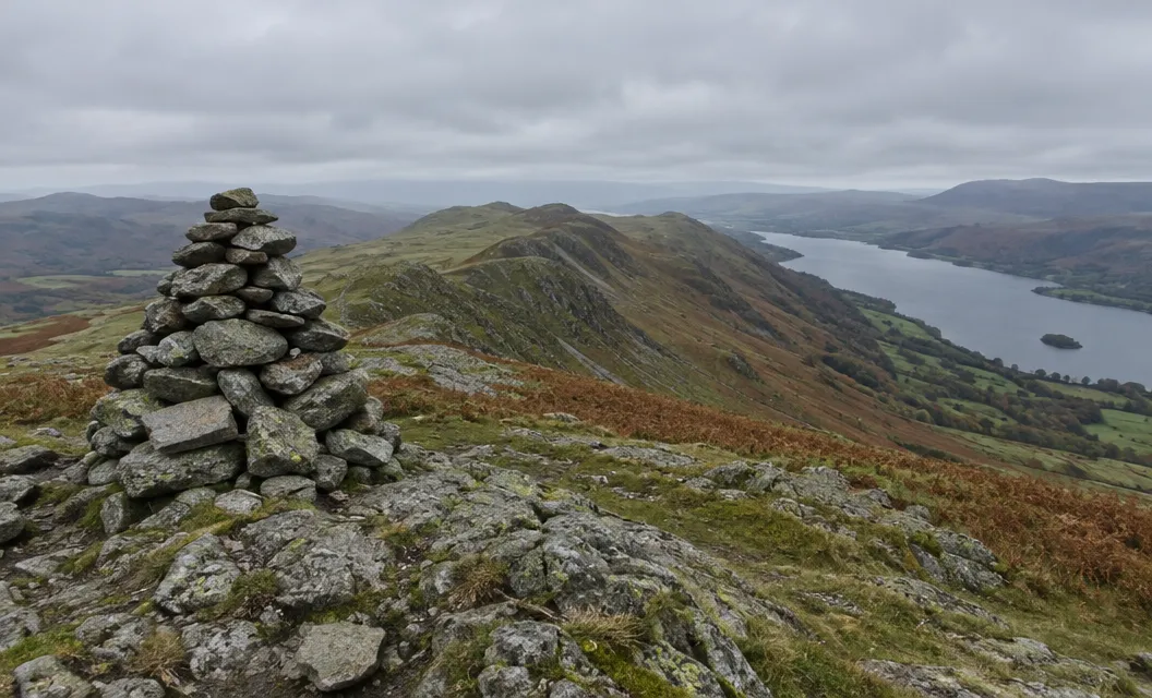
Aran Fawddwy is 905 m, the highest mountain in southern Snowdonia.
Expect the pillar on the east side of a large Bronze Age cairn, and very little shelter.
The Aran hills form a ridge 14 km long, from Bala Lake to Dinas Mawddwy.
Coming down past Drws Bach
The way down follows the fence you crossed on the way up.
From the summit, retrace your steps for 300 m. Then bear left over rocky ground to pick up the fence, and follow it downhill. You can see down to Creiglyn Dyfi.
You then pass a memorial at Drws Bach (Little Door). It is for a mountain rescue team member, Mike Aspain, killed by lightning at that spot in 1960.
After that the route crosses the broad summit of Drysgol. There, bear right along the head of Hengwm for about 600 m, down beside a fence to a flat area before Waun Goch.
A broad track leads diagonally down the side of Hengwm to the valley floor.
Longer days from the same valley
Both longer days are hard, and neither is a version of the 7.5 mile circuit.
- Over Glasgwm: 15.2 km, 1,015 m of ascent and 6 hours, rated Hard Walk. It starts at Fawnog Fawr, grid reference SH 853 184. Expect wet, boggy ground and pathless navigation in places.
- A long round: go4awalk gives 12 miles (19 km), 1,234 m of ascent and 8½ hours, graded Hard.
The long ridge north to Aran Benllyn
The ridge walk from Llanuwchllyn is a long day with its own start.
The ridge continues north to Aran Benllyn, 885 m. The start is the National Park car park at Llanuwchllyn, grid reference SH879 297.
The two accounts describe different routes from Llanuwchllyn:
- Mud and Routes: 23.17 km, 1,202 m of ascent, 8 hours.
- go4awalk: 10.5 miles (17 km), 998 m of ascent, 7 hours, graded Hard. Its route runs from Llanuwchllyn over Aran Benllyn and Erw y Ddafad-ddu to Aran Fawddwy.
If you are visiting more of Eryri, Cadair Idris, Rhinog Fawr and Arenig Fawr each have their own route.
We compile and explain public route and safety information. We guide nobody and sell nothing on the hill.