On the summit of Arenig Fawr, a memorial marks the place where an American B-17 Flying Fortress bomber crashed on 4 August 1943. All eight crew died.
The walk to it is 7¼ miles there and back, with 530 m of climbing. It starts at a layby above Llyn Celyn and passes Llyn Arenig Fawr, a lake.
Where the walk starts
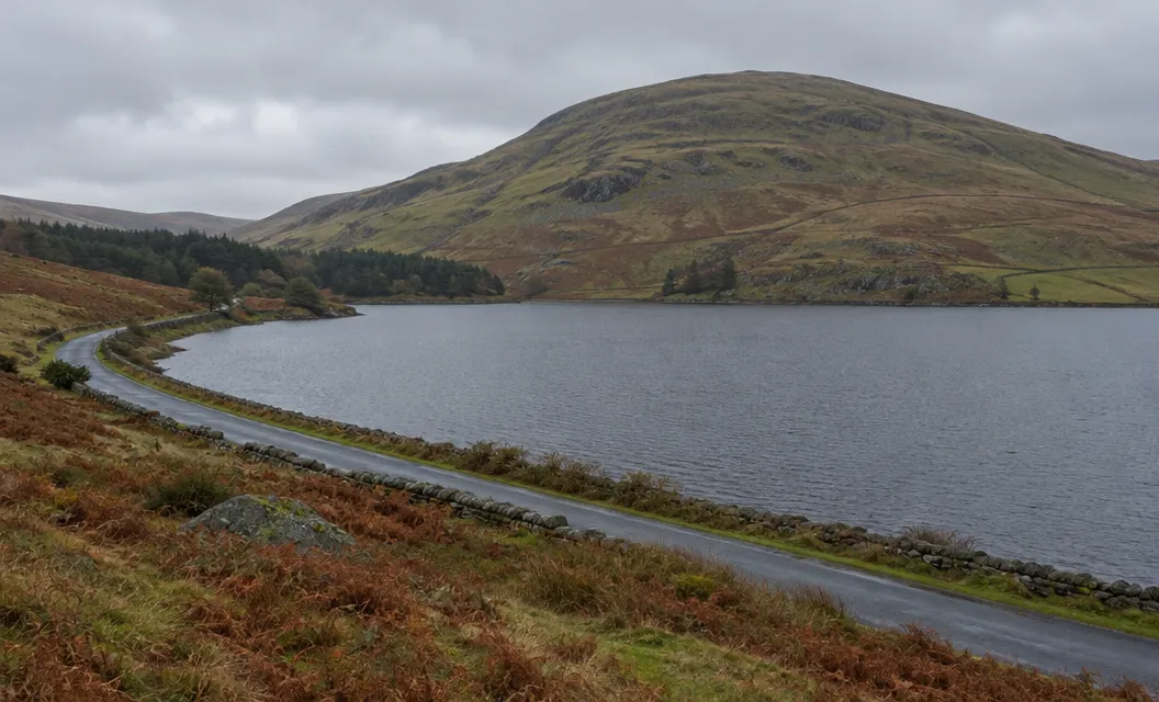
The walk starts on the minor road near the hamlet of Arenig, at a layby overlooking Llyn Celyn. The grid reference is SH845 395.
Christopher Somerville, walking correspondent of The Times, says the road to Arenig is signed off the A4212 between Trawsfynydd and Bala.
The parking space is two-thirds of a mile past the hamlet, on the left, opposite a gate signed “Farmland”.
The postcode LL23 7PA brings you close, but it is only approximate. If the layby is full, there are two other places:
- the old quarry, at SH829 391
- a small space at the junction with the A4212, at SH816 393
The layby is the closest start to the track, and the quarry and the junction are the fallbacks.
The climb from the lake to the summit
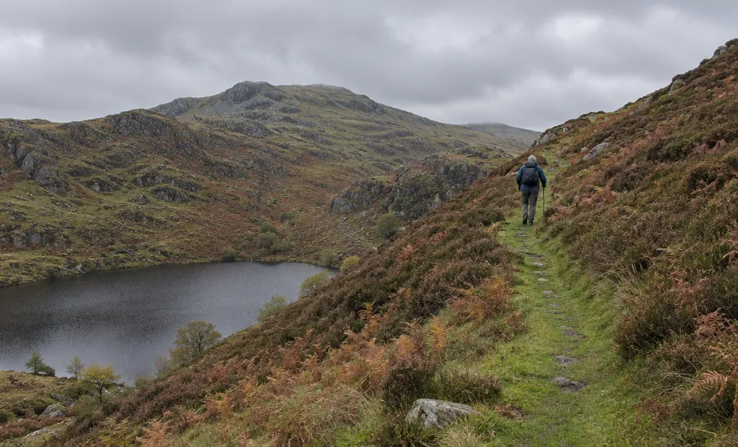
You follow one line up and come down the same way. In order:
- Go through the gate opposite the parking space and follow the track. It starts steeply, then levels out.
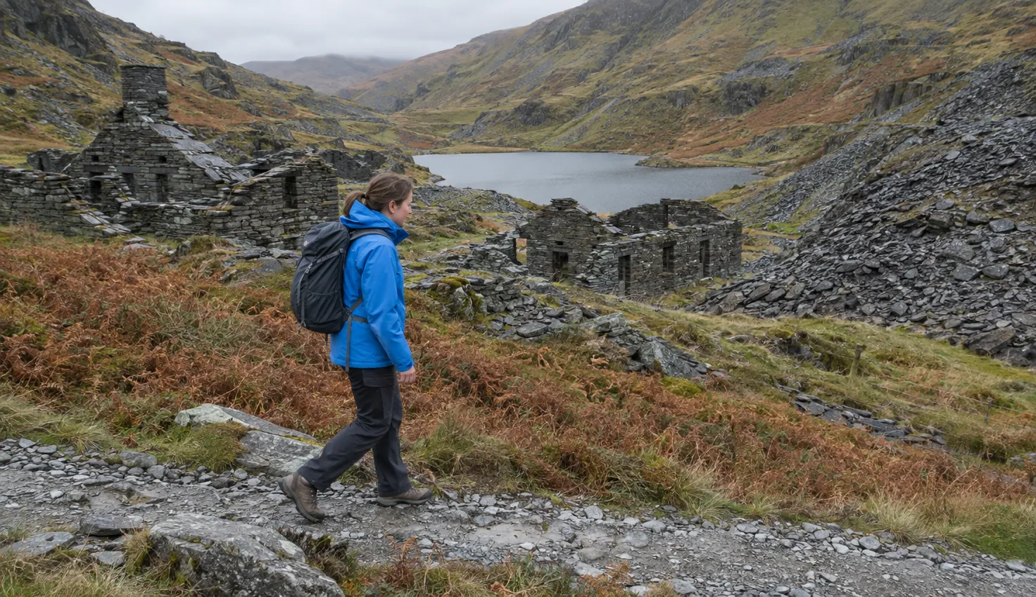
- After about 1½ miles you reach Llyn Arenig Fawr, below the cliffs of Simdde Ddu. A small bothy (a basic shelter) stands by the lake.
- Cross the ladder stile by the bothy and follow the path. The gradient is gentle at first.
- Climb a rocky, steep slope from 400 m at the bothy to 600 m at a fence. Maps name this slope Y Castell.
- Above the fence, follow the path to the summit. It is rocky, and a few cairns (piles of stones) mark it.
Near the top, aim for a prominent post above you, then the trig pillar. A trig pillar is a concrete survey marker.
The rocky steps on Y Castell can be avoided to one side or the other.
Higher up, there are boggy sections, and the path sometimes vanishes.
What is on the summit
The summit stands at 854 m (2,802 ft). It has a stone-walled shelter, the trig pillar and the memorial.
The bomber was a Boeing B-17 Fortress of the 303rd Bomb Group, part of the US 8th Air Force. Coflein, the online record of Welsh historic sites, lists the crash.
The memorial plaque went up in 1945. The 303rd Bomb Group Association says a bronze replacement has stood there since 31 August 2019.
The remains of the aircraft are a Protected Place. Under the Protection of Military Remains Act 1986, it is an offence to interfere with the wreckage without a licence. Leave anything you find where it lies.
How hard it is
Somerville calls it a strenuous mountain expedition for fit, sure-footed walkers. You need a clear day on the tops.
Carry a paper map, and check the mountain forecast before you set off. The map is OS Explorer OL18.
The hazards are navigation and boggy sections, and the bothy is the only facility.
Welsh Country Magazine writes that Arenig Fawr is unlikely to ever be busy, and Somerville places it at the eastern edge of the National Park.
Other walks in Eryri to plan after this one include Aran Fawddwy and Rhinog Fawr, or the Precipice Walk.
The view west and the way down
From the trig pillar, you can name Snowdon to the north-west and Cadair Idris to the south-west. To the east are the Clwydian Hills and the Berwyns.
The views across all of Snowdonia are superb if the weather is clear, though a little distant.
If cloud covers the top, get the compass out.
We compile and explain public route and safety information. We guide nobody and sell nothing on the hill.
Go back by the same route. The cairned rocky path leads down to the fence, then comes the steep slope of Y Castell, the bothy at the lake and the track to the layby above Llyn Celyn.