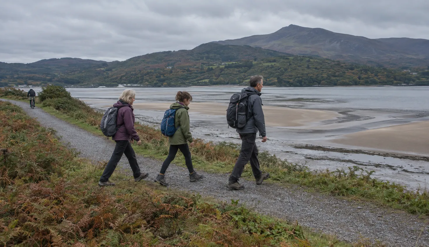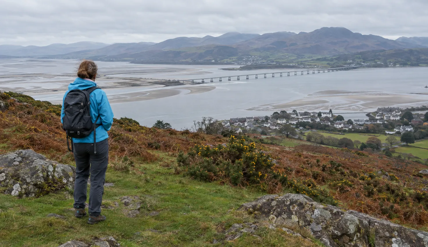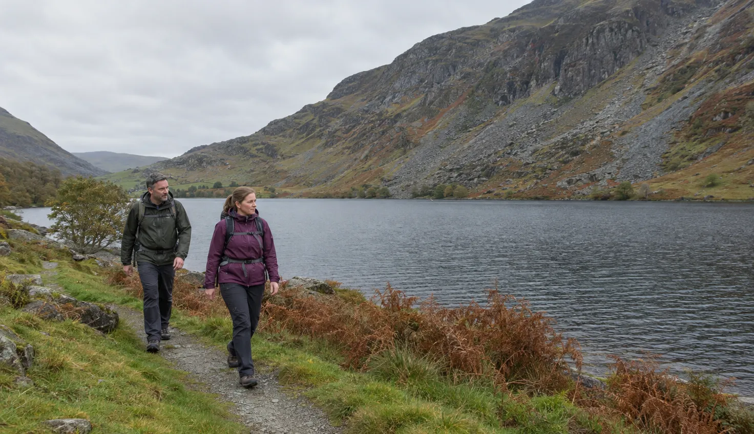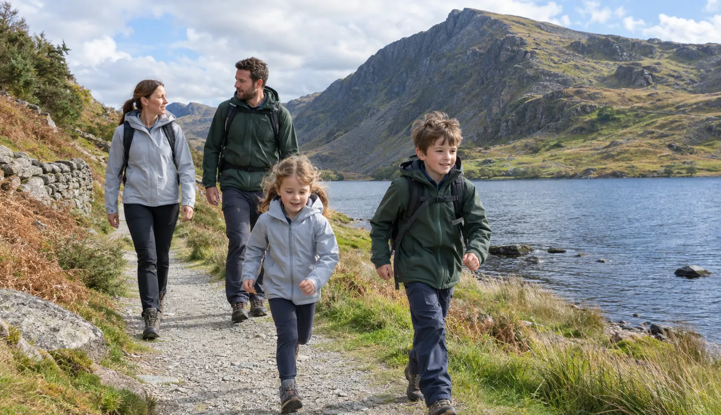
Four low walks start from or finish at Rhyd Ddu, and none of them uses the Rhyd Ddu Path.
They are Llyn y Gader, Lôn Gwyrfai towards Beddgelert, Llyn Llywelyn and Llyn y Dywarchen.
Lôn Gwyrfai is graded easy by the Eryri National Park Authority, which manages the path.
Llyn y Gader, out and back
For an easier day, walk the first sections to the lake and back the same way.
Mud and Routes, a walking route guide, says this has minimal ascent.
The walk starts at the Rhyd Ddu car park. At the cottage you turn left towards the lake. Right leads to the Nantlle Ridge.
The track then crosses a causeway. Whooper swans overwinter on the lake, according to Countryfile.
Mud and Routes also lists a longer circuit that climbs to around 300 m on Yr Wyddfa (Snowdon).
It returns over part of the Rhyd Ddu Path. Skip that version.
Lôn Gwyrfai towards Beddgelert
The whole path is easy, one way, 7 km (4.5 miles) and about 3 hours.
The Eryri National Park Authority describes Lôn Gwyrfai as a multi-use path for walkers, cyclists and horse riders between Rhyd Ddu and Beddgelert.
You do not have to walk all of it. Smaller sections of the trail can be completed on their own.
The route description names the sections in this order:
- The start, directly opposite the car park entrance in Rhyd Ddu.
- The causeway across Llyn y Gader.
- Beddgelert Forest, following the Lôn Gwyrfai waymarkers.
- Pont Cae’r Gors, where the path leaves the forest. Take care when crossing the railway line.
- An 18th century stone bridge over the Cwm Du river.
- The climb to Hafod Ruffydd Uchaf, then down to Beddgelert Forest Campsite.
- Farmland on the foothills of Moel Hebog, as far as Cwm Cloch.
- The road down into Beddgelert.
The surface is mostly a well-formed track or path, with some steps and gently undulating sections. Trainers or comfortable walking shoes are recommended.
Parts have even, wide surfaces suited to some powered Tramper type vehicles or power-assisted wheelchairs. The Authority hires Trampers out free of charge.
Part of the walk is currently diverted, and the Authority links a diversion map from its page (October 2026). Look at the map before you set out.
For the way back, the Authority names the bus and the Welsh Highland Railway.
That is a narrow-gauge heritage railway between Caernarfon and Porthmadog that runs parallel to the path.
The Sherpa’r Wyddfa S3 runs from Beddgelert to Caernarfon to Dinorwig, with a stop at Rhyd Ddu Station.
For walks from Beddgelert itself, see the walks around Beddgelert.
Beddgelert Forest and Llyn Llywelyn
From Rhyd Ddu, the walk to Llyn Llywelyn is 9.27 km, with 156 m of ascent and about 3 hours.
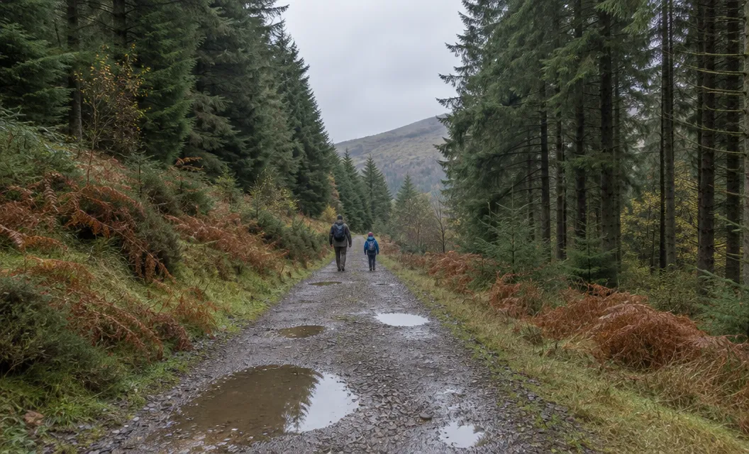
It is suitable as an easy family walk, Mud and Routes says. It starts on Lôn Gwyrfai.
The route crosses the Welsh Highland Railway a few times, and navigation in the woodland can be tricky.
Looking back from beside Llyn y Gader, early on the walk, the narrow ridge of Crib Nantlle dominates the view. That is the Nantlle Ridge.
A shorter option starts at the Beddgelert Forest car park instead. Natural Resources Wales lists it as the Llyn Llywelyn Walk: 2.7 miles (4.4 km), 443 feet (135 m) of climb and 2½ hours.
It is graded moderate and waymarked from start to finish. The trail is nearly all forest road.
- Mud: one section can become muddy on the gradual climb to the lake.
- Cobbles: the descent back to the car park has a 40 m stretch of rough uneven cobbles.
- Railway: two crossings have manual gates to open.
Parking at the forest car park is free and overnight parking is not permitted. The forest is 2 miles north of Beddgelert.
Llyn y Dywarchen and the floating island legend
This is a Beddgelert walk: 7 miles (11.3 km), about 4 hours and graded moderate.
According to Countryfile, it starts at the narrow-gauge railway station in Beddgelert and follows Lôn Gwyrfai past Llyn y Gader.
At the gate it turns left onto the road and goes uphill into the Nantlle Valley. The return goes towards Llyn y Gader and down the road to Rhyd Ddu.
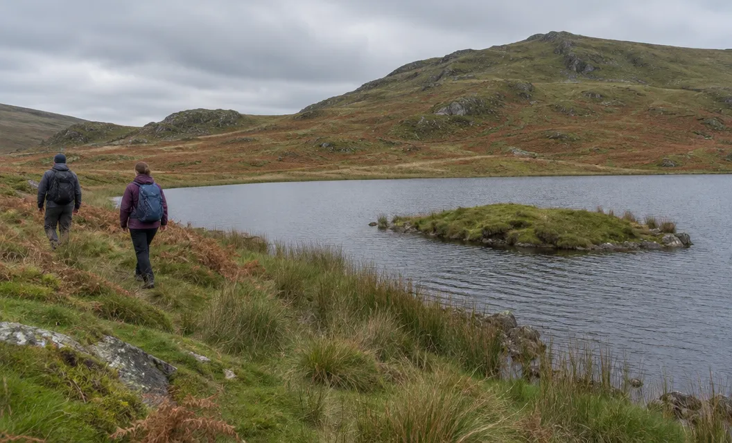
The name means Turf, after a little island in its waters. Coflein says Giraldus Cambrensis, a medieval clergyman and chronicler, referred to the floating island in 1188.
The legend is of an island that moved. Giraldus wrote that the wind often drove it from one side of the lake to the other.
Shepherds, he wrote, saw their cattle carried to the distant parts of the lake as they fed.
Later tellings add the astronomer Edmund Halley, who swam out to see the island in 1698. Folklore says the tylwyth teg, the fairy folk, made it.
No island floats there today. The island you see is rock. A dam built in 1888 for the Drws-y-Coed copper mine raised the water level and the floating island, presumably, sank.
Getting there and back
The Sherpa’r Wyddfa bus is the recommended way to reach Rhyd Ddu.
The Authority’s guide to reaching Yr Wyddfa says the Snowdon routes start from small villages or areas with extremely limited capacity for parking.
- From Caernarfon: the S3 to the Rhyd Ddu Station stop, about 20 to 25 minutes.
- From Porthmadog: the S4 to Beddgelert, then change to the S3, about 35 minutes in all.
The S4 runs from Pen-y-Pass to Beddgelert to Porthmadog to Morfa Bychan, and it does not list Rhyd Ddu. The same S3 also serves the start of the Snowdon Ranger Path.
The current timetable is the winter one, 2 November 2026 to 19 March 2027, and both the S3 and the S4 run on it. Times change, so read the current one.
The car park is off the A4085 at grid reference SH 571 526, according to the Authority’s Rhyd Ddu Path page. There are public toilets beside it.
Space is limited, so see parking around Snowdonia for the alternatives.
We compile and explain public route and safety information. We guide nobody and sell nothing on the hill.
Before you leave, read the Sherpa’r Wyddfa timetable and the Authority’s Lôn Gwyrfai diversion map, then take the S3 to the Rhyd Ddu Station stop.