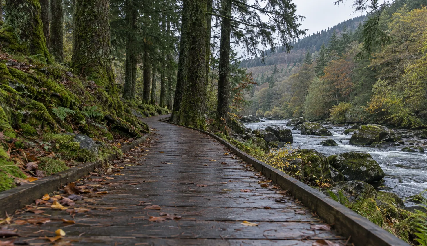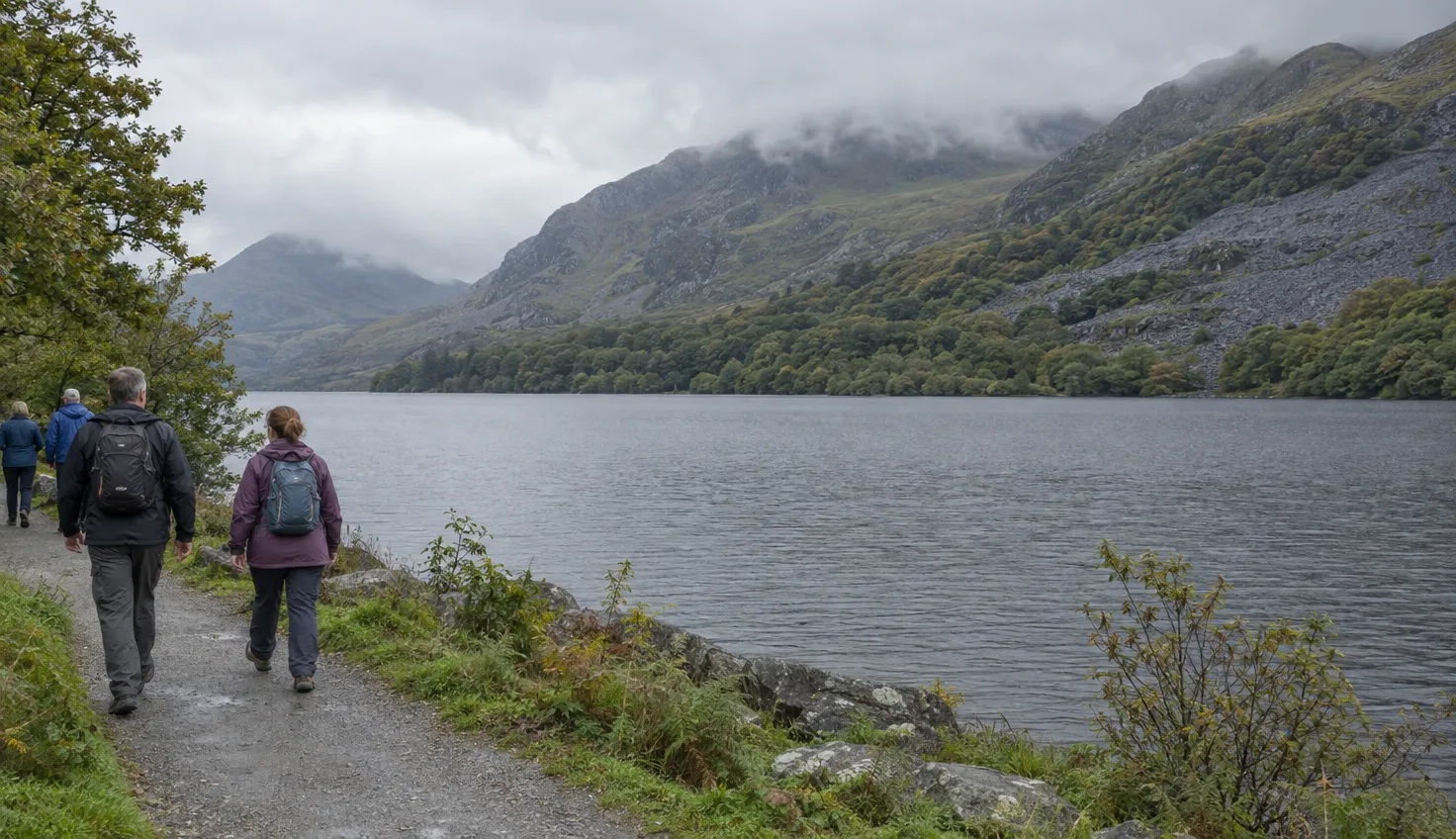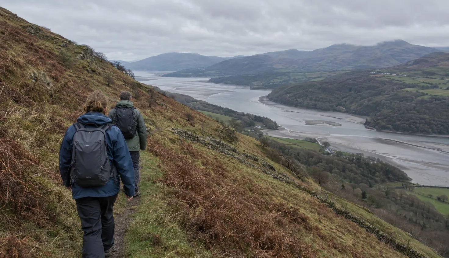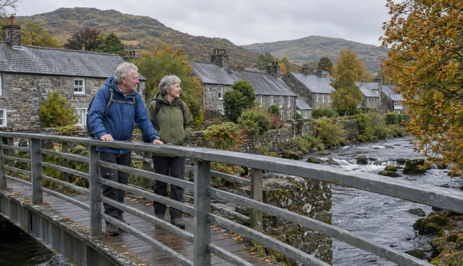
Beddgelert has walks for an hour and walks for a whole day. Choose a riverside stroll to Gelert’s Grave, the climb to Dinas Emrys, the Aberglaslyn and Llyn Dinas circuit, or Moel Hebog above the village.
Match the walk to your time:
- Gelert’s Grave: 1 mile, 40 minutes to 1 hour, easy.
- Dinas Emrys: 2.2 miles, 1.5 to 2.5 hours, moderate. Starts at Craflwyn, just outside the village.
- Aberglaslyn and Llyn Dinas circuit: 5.7 miles, 4 to 5 hours, challenging.
- Moel Hebog via Moel yr Ogof and Moel Lefn: 6.5 miles, 6 hours 20 minutes, moderate/hard. A full mountain day.
Gelert’s Grave, about an hour
The National Trust, the UK conservation charity, rates this walk easy. It says the path suits pushchairs and wheelchairs.
It is a circular riverside walk of 1 mile (1.6 km). It starts at the footbridge over the River Glaslyn, south of the village centre. Turn right before the footbridge.
Landmarks, in order:
- The church of St Mary, on your right.
- The stone monument of Gelert’s grave.
- A bronze cast of Gelert, inside Beudy Buarth Gwyn.
- A footbridge back over the river, which replaced the old railway bridge closed in the 1990s.
- The picnic site at Cae Gel, which commemorates Alfred Bestall, illustrator of Rupert Bear.
Gelert’s story is a legend. In the village’s telling, Prince Llywelyn wrongly kills his loyal hound, which had saved his infant son from a wolf.
Allow 40 minutes to an hour for the walk.
There are no National Trust toilets in the village. Public toilets are on the narrow lane past the Ty Isaf shop, near the bridge.
Dinas Emrys from Craflwyn
Dinas Emrys is a woodland climb to a hilltop. Legend says Merlin walked there and a dragon still sleeps there.
At the top are the remains of a square tower and defensive ramparts of the princes of Gwynedd.
The National Trust rates the walk moderate: mainly a gentle uphill path, with a steep, rocky final ascent.
The 2.2 miles (3.52 km) and 1.5 to 2.5 hours start and end at the Craflwyn car park. These figures do not include the walk from Beddgelert to Craflwyn and back.
The route, in short:
- From the car park, take the footpath up through the woodland.
- Pass a dragon bench, then climb steps beside a small waterfall.
- Cross a small wooden bridge to another waterfall.
- Go over a stile into the woods.
- Follow the zig-zag path up the rocky outcrop.
- Take the steep, rocky final ascent to the top.
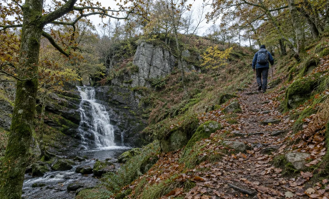
Paths can be muddy. There is one tricky section of rock near the top, so take care when it is wet.
Dogs are welcome on leads. You return by the same route.
Aberglaslyn and Llyn Dinas circuit
This is the half-day walk. The National Trust rates it challenging.
It is a circuit of 5.7 miles (9.12 km), measured from the Nantmor car park, grid ref SH597462. Nantmor is 2 miles from Beddgelert, per the National Trust.
The 4 to 5 hours is for the full loop. If you complete the whole loop from the village, plan on the same figure. It does not describe a short river walk.
The Dinas Emrys figures above are measured separately, from Craflwyn.
The route runs in this order:
- From the Nantmor car park, climb through woods to the river and turn right, upstream, onto the fisherman’s path along the gorge.
- Cross the Welsh Highland Railway tracks, then turn left over the river bridge and right towards Beddgelert.
- Take the detour left to Gelert’s Grave, then cross the footbridge in the village and follow the river upstream.
- Pass Sygun Copper Mine and continue to the lake, Llyn Dinas.
- Climb the stone-pitched zig-zag path from the lake shore, then bear south from Bwlch y Sygun and descend Cwm Bychan to the car park.
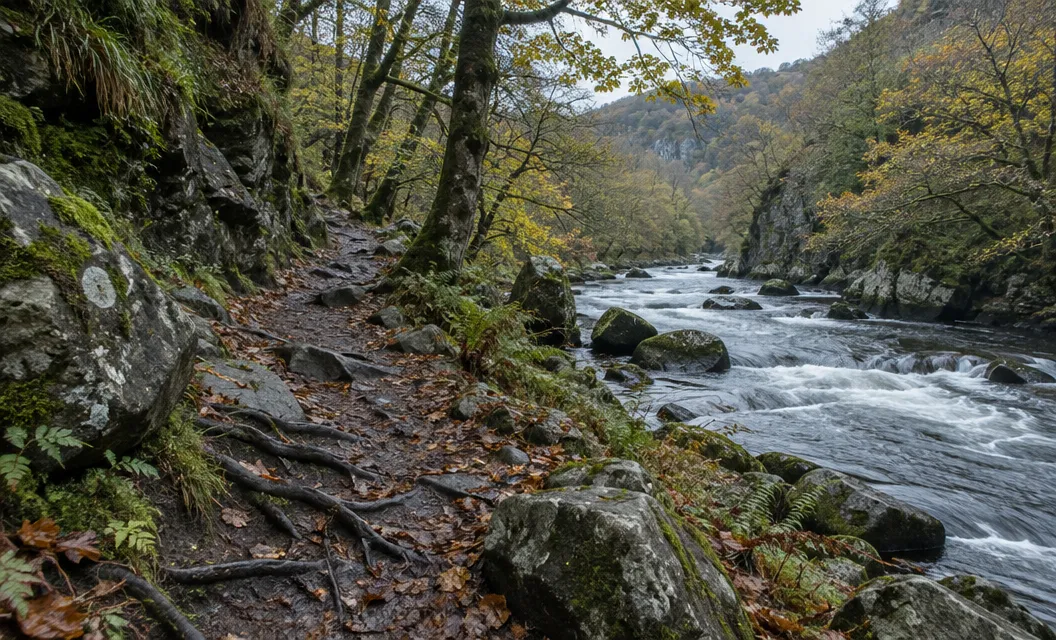
The gorge path is steep in places, with a stone buttress above the river. The National Trust asks for great care there.
The Welsh Highland Railway is an active line between Caernarfon and Porthmadog. The path meets it at a crossing.
Stop, look and cross the tracks with care. The railway is a working line, not a path.
Keep to the paths near Cwm Bychan. The National Trust warns that the area is dotted with tunnels, spoil heaps and pits.
Moel Hebog, a full mountain day
Moel Hebog is the mountain above the village. It is mountain terrain, not a village stroll.
For the mountain day itself, the route website Walking Britain lists the circuit via Moel yr Ogof and Moel Lefn at 6.5 miles and 6 hours 20 minutes, graded moderate/hard.
Treat Moel Hebog as a whole day, with the weather, daylight, map and compass planning of any hill day.
For a different mountain day, consider the Watkin Path or the Rhyd Ddu Path up Yr Wyddfa (Snowdon).
The National Trust puts Rhyd Ddu station 4 miles from Beddgelert.
Choosing where to start
The National Trust has no car parks in Beddgelert. Its nearest are Craflwyn, 1 mile away, and Nantmor, 2 miles away.
Each walk has its own start: the village footbridge for Gelert’s Grave, Craflwyn for Dinas Emrys, Nantmor for the gorge circuit.
For a longer stay, compare Snowdonia campsites by their walking routes and transport.
We compile and explain public route and safety information. We guide nobody and sell nothing on the hill.
For a short visit, begin at the village footbridge. Leave Dinas Emrys for a day when you can also reach Craflwyn.