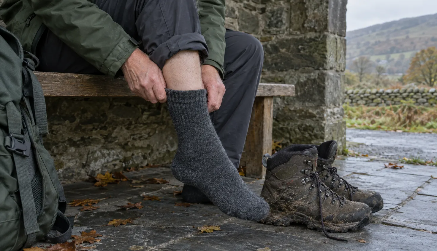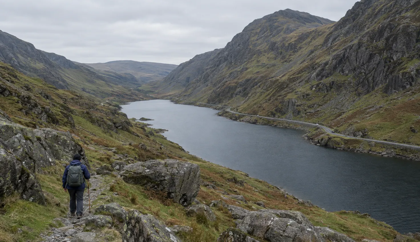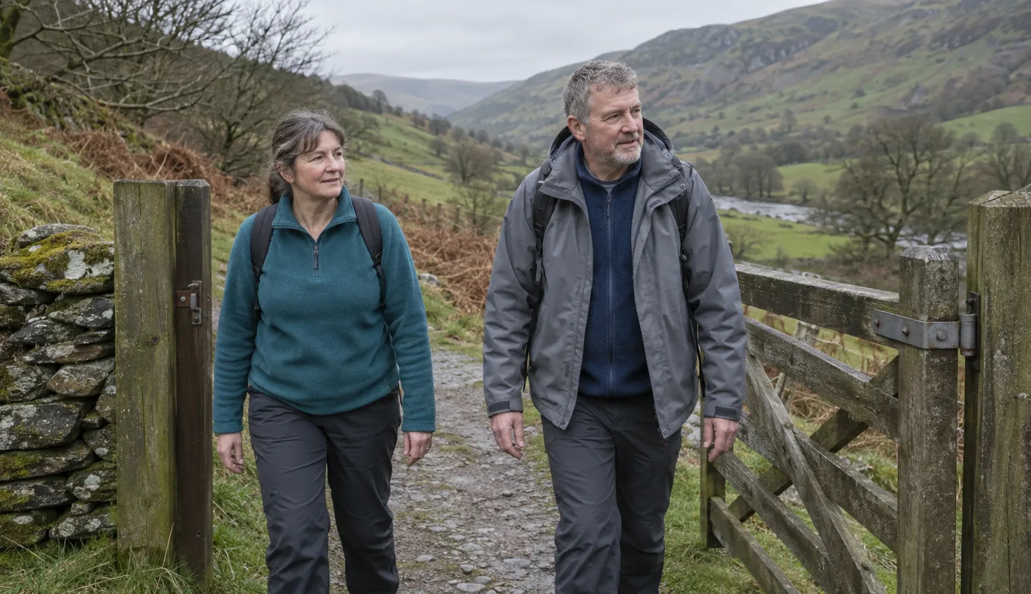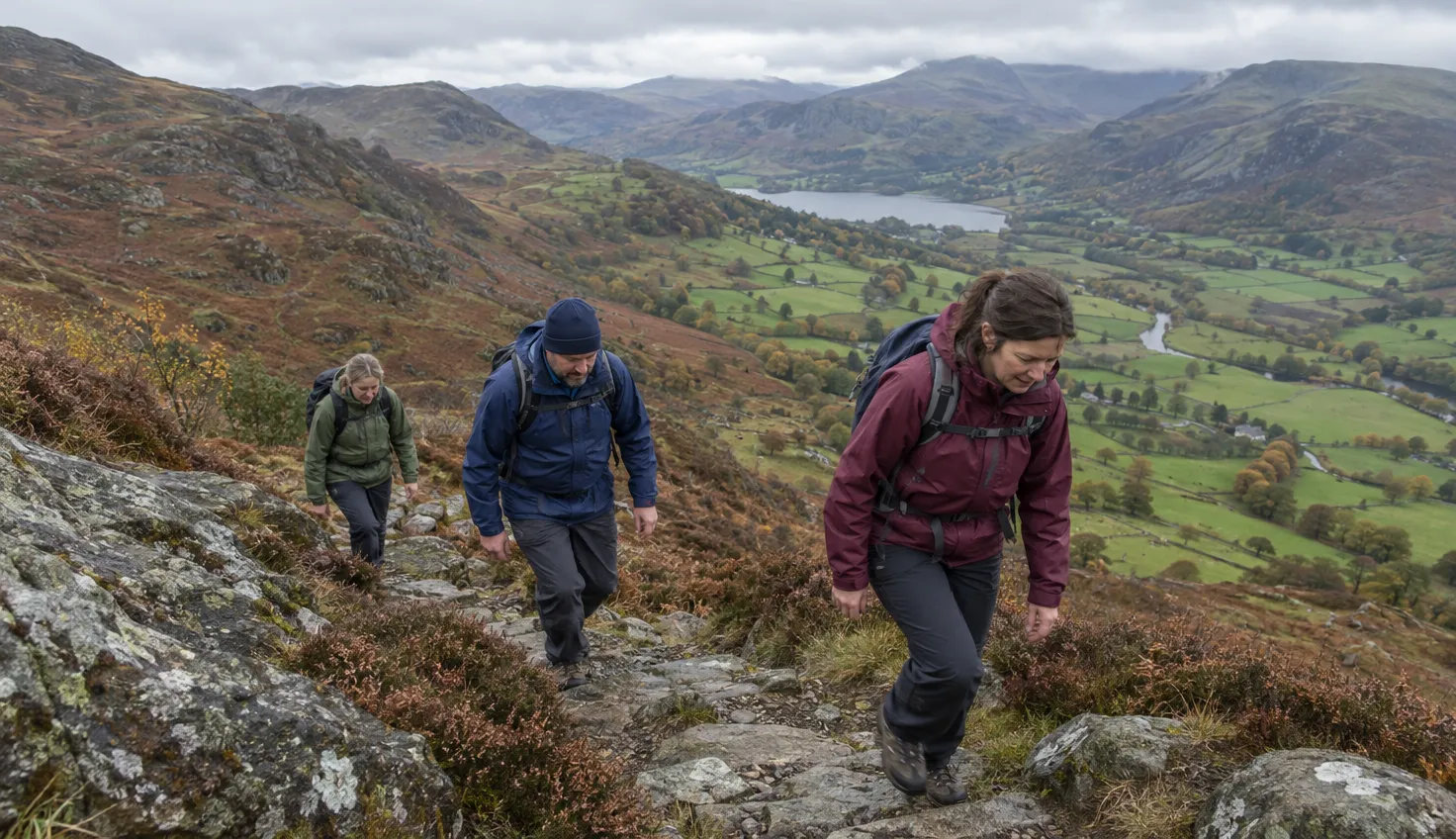
Moel Hebog is steep from the first slope to the summit. A couple of rocky sections may need your hands.
The single-summit circuit from Beddgelert is 5.5 miles, taking about 5 hours.
Starting from Beddgelert
Walking Britain, a UK walking-route publisher, starts its Moel Hebog walks at the large car park in the centre of Beddgelert.
From there the route follows the A4085 towards Caernarfon for about 500 metres.
A bridge over the river leads onto a track. It passes a couple of farmhouses and runs through woods to a barn, with a gate straight after it.
The path beyond the gate is reasonably well defined, with route markers at low level.
Carry a map and check your position on the ill-defined ridge. Read which OS map covers Snowdonia before you go.
Walking Britain lists Explorer OL17 at 1:25,000.
Where the route gets steep
A short way past the barn the climbing starts.
Walking Britain’s accounts call it a steep pull all the way to the summit.
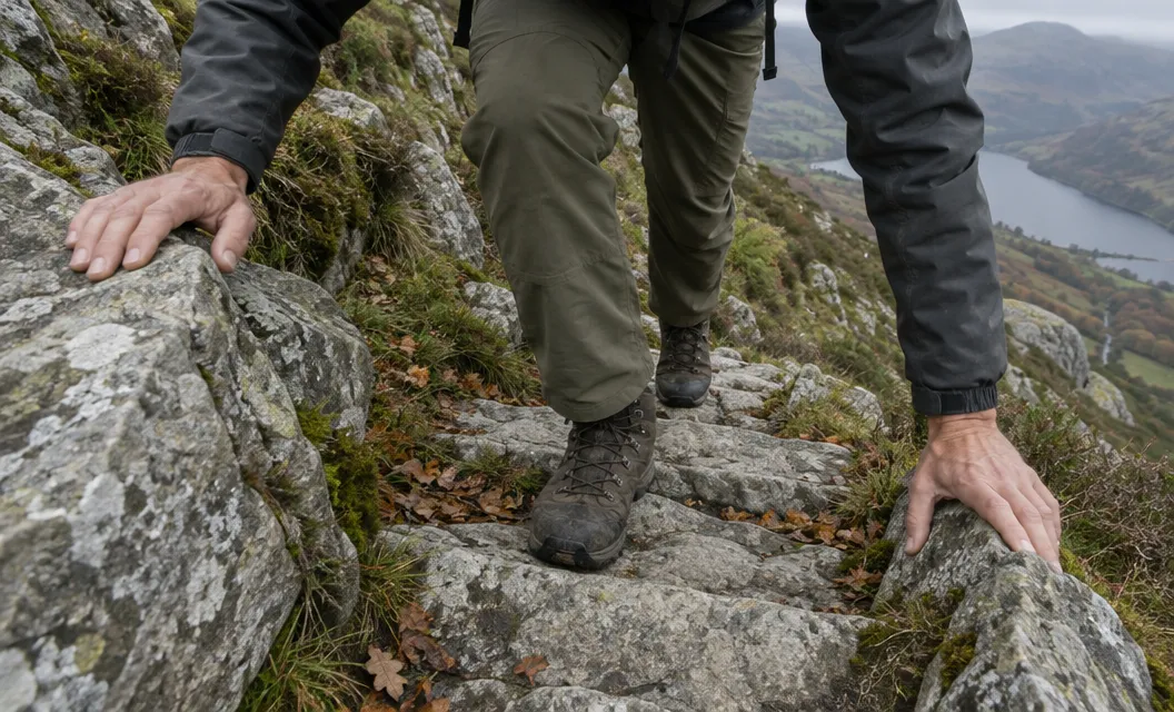
The path follows an ill-defined ridge to the left of the Y Diffws crags. Steep rocky ground with some light scrambling follows.
Hands may be needed on a couple of sections.
- Low down: a defined path with route markers.
- Past Y Diffws: rocky steps, light scrambling.
- Upper slope: rocky, marked by piles of stones, then a grassy shoulder.
A short rocky section above the shoulder leads to the summit plateau.
On the ill-defined ridge, check the map often.
The summit
Moel Hebog rises to about 780 metres, according to Walking Britain’s route accounts.
Total ascent is 758 metres on the single-summit circuit and 1,045 metres on the three-summit route.
The best views are from the edge of the summit plateau, not the highest point.
Snowdon is in the view, and the Rhyd Ddu Path is one way up it. To the north are Mynydd Drws-y-coed and Mynydd Graig Goch.
Check the mountain weather while you plan this walk.
Moel yr Ogof and Moel Lefn
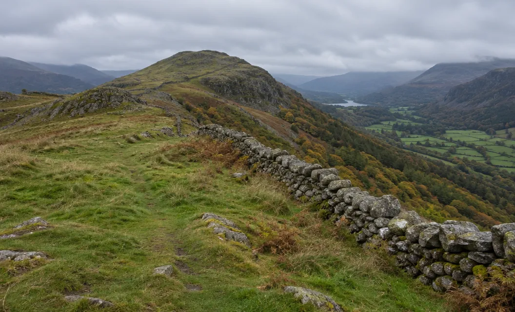
From the summit, the longer route heads north, following a wall down towards the rock formation at the foot of Moel yr Ogof.
The climb to its top is short but steep. Walking Britain notes a link with Owain Glyndwr, who is reported to have hidden in a cave there.
From Moel yr Ogof you continue north to a col, then climb again onto Moel Lefn.
The two routes compare like this:
- Single-summit circuit (Lou Johnson): 5.5 miles, about 5 hours, graded moderate.
- Three-summit route (Nick O’Brien): 6.5 miles, about 6 hours 20 minutes, graded mod/hard.
The way down
The routes part at the rock formation below Moel yr Ogof.
On the single-summit circuit you turn right there into the forest, towards the campsite.
On the three-summit route you descend east from Moel Lefn towards the woodland.
Both then follow a track, or a mix of tracks and paths, through the trees to the campsite.
Forest tracks here can lead to dead ends. Both accounts warn that navigation is difficult, so take your time.
Walk through the campsite to the road. It is a short walk back to the start, with Moel Hebog on your right.
Which route to choose
If you cannot navigate on a mountain in the day’s conditions, choose one of the low-level Beddgelert walks instead.
We compile and explain public route and safety information. We guide nobody and sell nothing on the hill.
Choose the single-summit circuit for a shorter day with less ascent. It still has the steep climb and the rocky steps.
Consider extending over Moel yr Ogof and Moel Lefn if you are comfortable with the terrain and want a longer day.