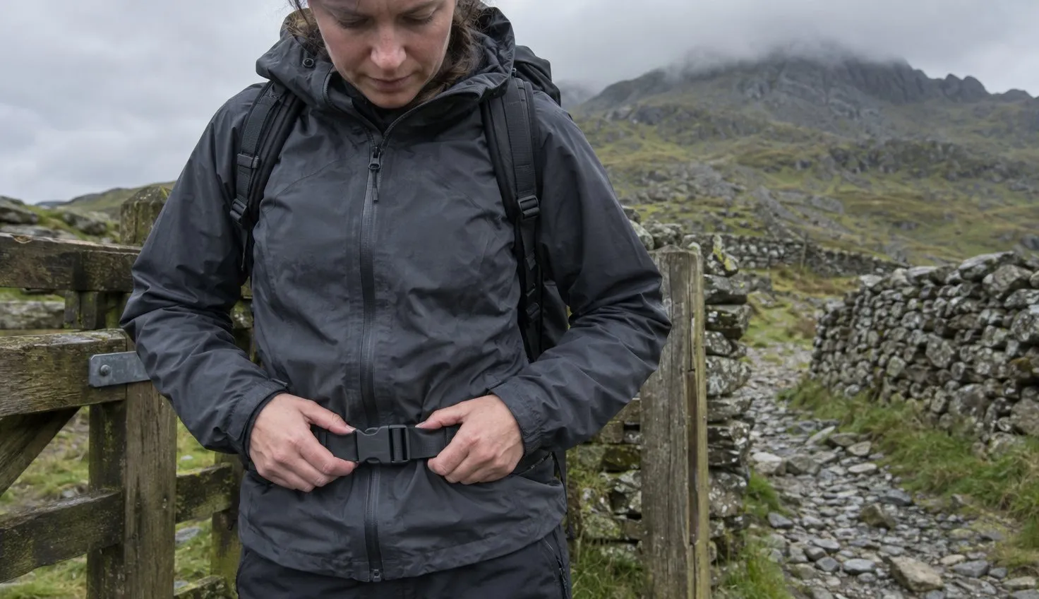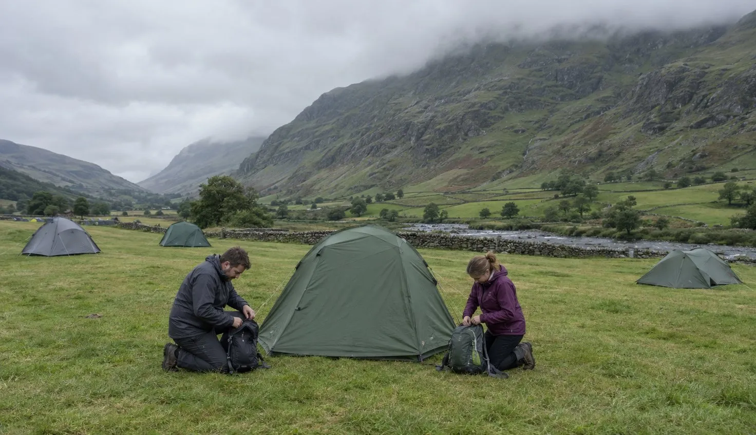
The Watkin Path starts at Pont Bethania in Nant Gwynant, where parking is extremely limited, and the climb from there is 1,015 metres.
The Eryri National Park Authority, the public body that looks after the national park, grades it hard and strenuous. It is 8 miles (13 km) there and back, and the Authority gives six hours.
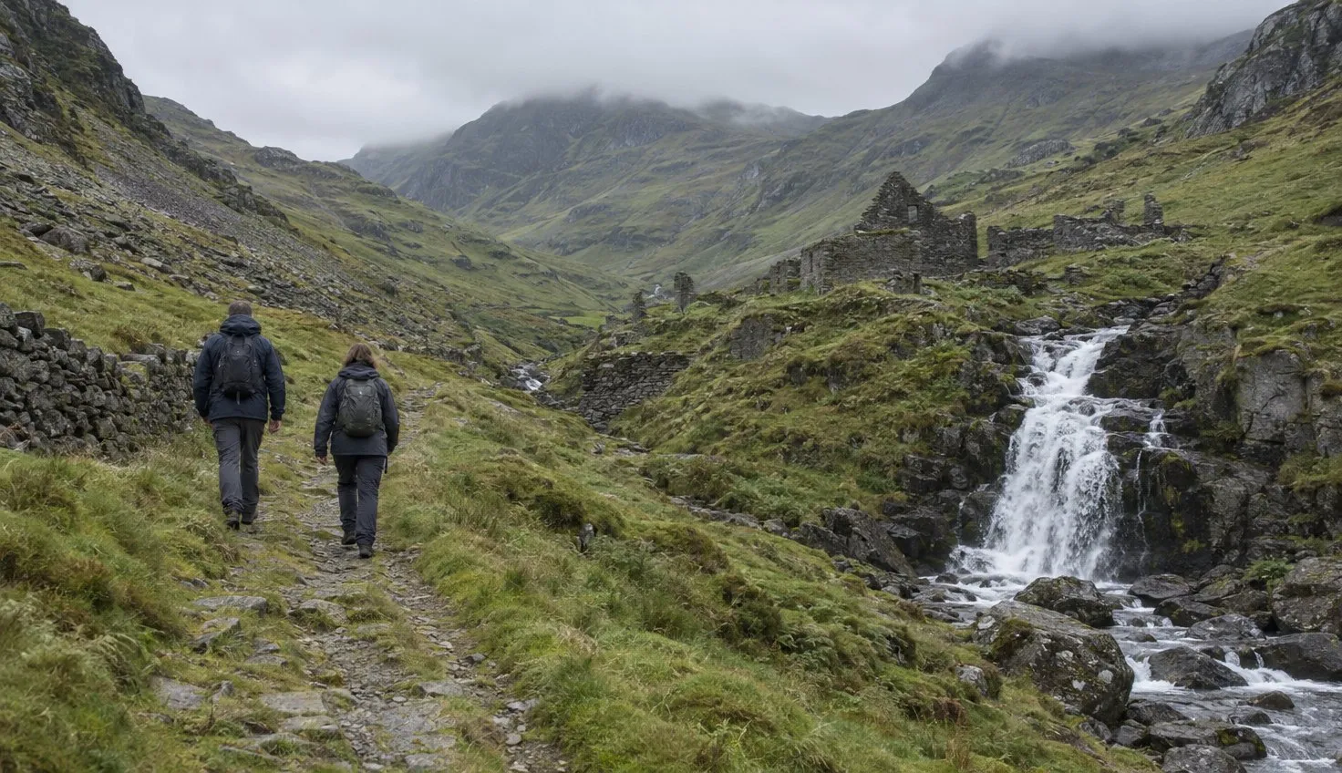
The lower half passes waterfalls and Gladstone Rock. The last climb before the summit is loose underfoot.
Getting to Pont Bethania
The Authority says parking at Nant Gwynant is extremely limited. Its bus guide adds that the car park is often full by 7:30am.
The Sherpa’r Wyddfa bus stops at Pont Bethania:
- S4 runs direct from Porthmadog, about 35 minutes.
- S3 and S4 together serve Caernarfon, changing at Beddgelert.
- S1 from Betws-y-Coed and S2 from Bangor both change to S4 at Pen y Pass.
The Authority recommends the bus. If you still drive, parking in Snowdonia covers the car parks and the Sherpa’r Wyddfa bus, and you can reach the paths without a car by rail and bus.
From the car park to the waterfalls
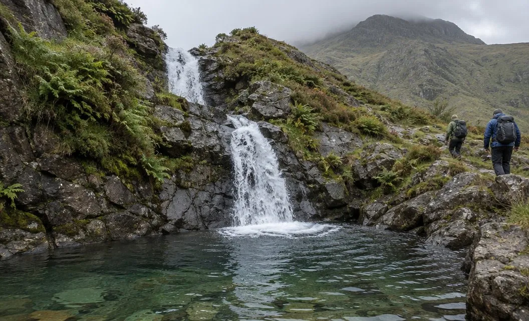
From the car park, follow the main road to the left, over the bridge, and cross the road.
The path begins to the left of the entrance to Hafod y Llan, a farm owned by the National Trust, a conservation charity.
Look for the sign reading Llwybr Watkin Path.
Beside it are stone steps into the woods. Go through the gate, then the two large metal gates.
Then you are out in open country.
At a bend in the path, Cwm Llan opens out ahead of you.
After the wooden mountain gate, the waterfalls are on your right. The waterfalls come early, before the steep ground starts.
Past the mill to Gladstone Rock
After the crushing mill, the path forks.
Keep to the right. The left fork leads over Bwlch Cwm Llan towards the Aran.
Soon you pass Gladstone Rock.
It carries a stone plaque. The plaque commemorates the opening of the path to the summit.
The Authority’s page also notes remnants of the South Yr Wyddfa Slate Quarry along the way.
The climb to Bwlch y Saethau
The leaflet’s next landmark is the barracks. Beyond it the path veers steeply to the right, with Cwm Tregalan on the left.
It then climbs very steeply to Bwlch Ciliau.
At Bwlch Ciliau, follow the path to the left.
Before the next steep section you reach Bwlch y Saethau, the Pass of the Arrows. This is the place to decide whether to go on.
The leaflet puts the most difficult part of the whole path just beyond this point.
The Authority says conditions on Yr Wyddfa can change within minutes, and the summit is much colder, wetter and windier than the start. Read the mountain forecast first.
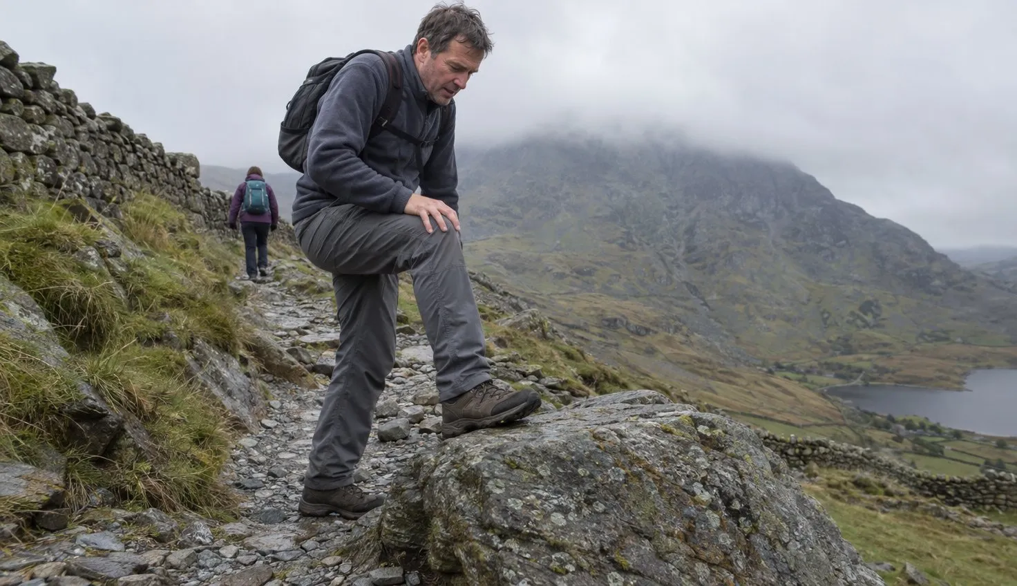
The loose ground below the summit
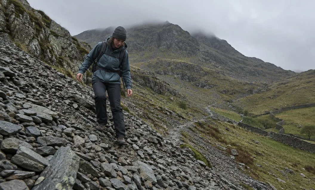
Beyond Bwlch y Saethau, a standing stone marks the most difficult part of the path, the route leaflet says.
The leaflet calls it extremely steep and very loose underfoot.
The Authority’s page says the path crosses loose scree.
Take this section slowly and place each foot with care. The Authority advises boots with thick soles and high edges, and says trainers are not suitable.
At the top of the climb, a second standing stone marks where the Watkin Path joins the Rhyd Ddu Path.
The leaflet asks you to remember this stone for the way down.
From there, follow the path to the right. The visitor centre, Hafod Eryri, comes into sight, and the summit is only a few minutes away.
Is the Watkin Path right for you?
The Authority says navigation skills are essential on this route. You need to read a map on the hill.
For comparison, the Pyg Track is 11 km with 895 metres of climbing, also graded hard. Which path up Snowdon sets out the others.
Carry a torch in case you finish after dark. The Authority says the six routes take four to seven hours there and back, depending on fitness, experience and weather.
If you are unsure of your footing on loose ground, the moment to say so is at Bwlch y Saethau. The Authority says to turn back immediately if the weather gets too much for your ability.
We compile and explain public route and safety information. We guide nobody and sell nothing on the hill.
The way back down
Come down the way you went up. The National Park publishes the Watkin Path as a there-and-back walk.
The Watkin Path does not leave the summit directly. It starts from the standing stone about 200 metres down the Rhyd Ddu Path.
From the summit, take the Rhyd Ddu Path for about 200 metres. Turn off at that standing stone and follow the Watkin Path back down to Pont Bethania.