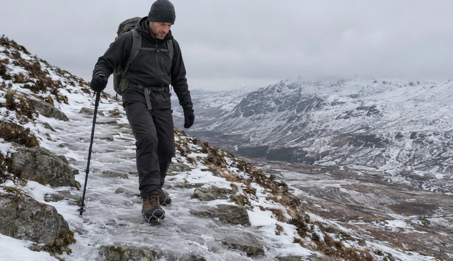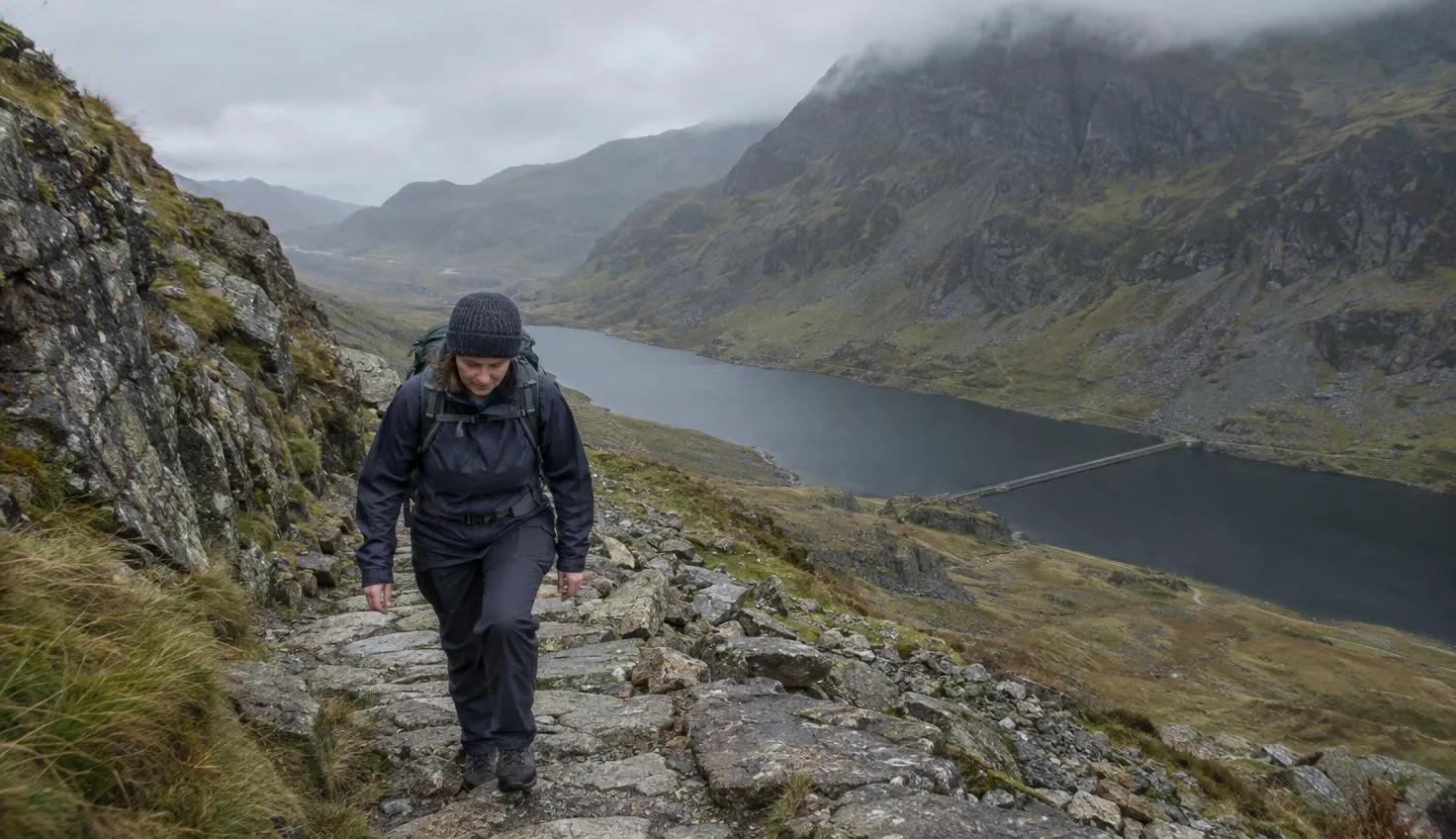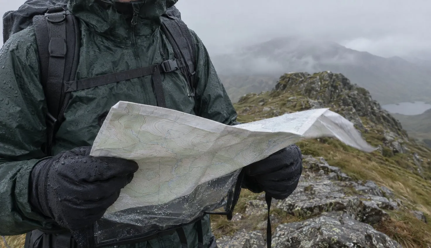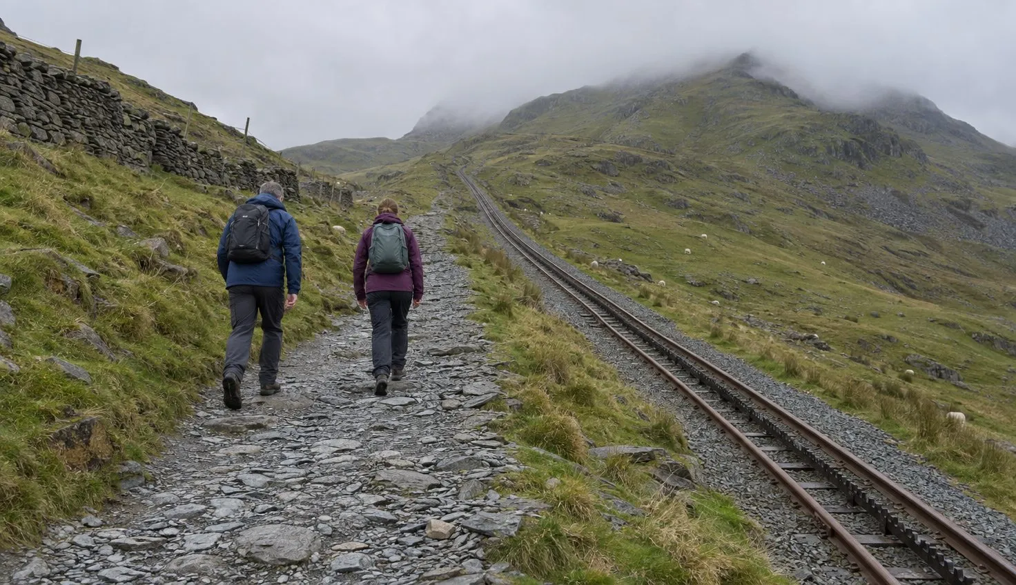
The Eryri National Park Authority, the public body that runs the park, grades the Llanberis Path as hard and strenuous.
It is often described as the easiest way up, but the park says never to underestimate any route. The park gives it 14.5 km (about 9 miles) there and back, around 7 hours, with 975 m of climb.
The lower part climbs gradually beside the railway.
It is still a full day on a mountain, and the upper section is the part that tests tired legs.
Where it starts and how to get there
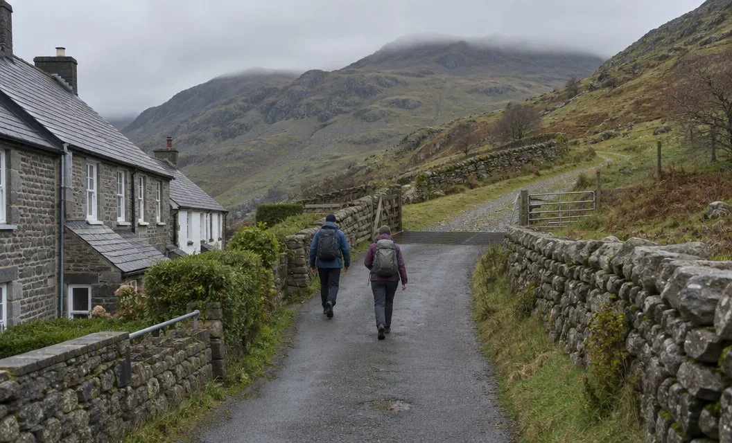
The path starts at the far end of Victoria Terrace in Llanberis. The terrace leads down from the mini roundabout opposite the Royal Victoria Hotel, at the southern end of the village.
You need OS Explorer OL17 for the map.
The start is in the village itself, so you reach it on foot from the bus stop or a village car park.
The Sherpa’r Wyddfa buses, the bus service for the Snowdon area, run the S1 and S2 to Llanberis Interchange. Car park detail is in parking in Snowdonia.
Section by section
Victoria Terrace to the mountain gate
You go through a gate next to a cattle grid and follow a steep road. It passes Pen y Ceunant Isaf and then goes through a farmyard.
After the farmyard, take the prominent path on the left signposted Llanberis Path. The first stretch is a steep road through a farmyard, then a signposted path up to the mountain gate.
On the way you pass the ruins of an old cottage on your left, and Hebron station of the railway below on your right.
The railway bridge to Halfway House
The path climbs gradually and runs parallel with the railway. Soon you walk under a railway bridge, and after it the line stays on your left.
Halfway House comes next.
It sells refreshments in the summer months, according to the park’s route leaflet.
From Halfway House the path begins to climb more steeply.
Allt Moses to Bwlch Glas
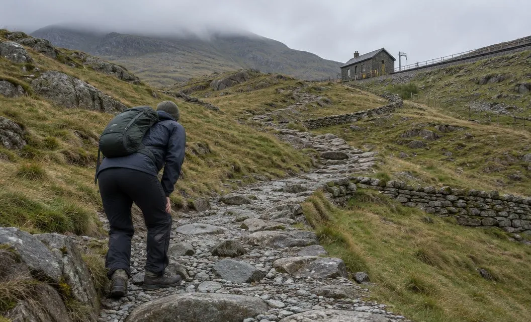
At the bottom of Allt Moses the path forks. Keep left and follow the path up the slopes of Llechog.
At the top of Allt Moses you walk under another railway bridge. Cwm Glas Bach then comes into sight on your left, and the leaflet says to be careful on this section.
After Cwm Glas Bach the path climbs steeply up the slopes of Carnedd Ugain, with Clogwyn Coch on your right. Take care here, and never walk along the railway tracks.
The park’s route page adds that walking along the Snowdon Mountain Railway track is extremely dangerous.
Bwlch Glas to the top
A standing stone at Bwlch Glas marks where the Pyg Track and Miners’ Track join the Llanberis Path. Over your right shoulder, across the railway, the Snowdon Ranger path joins too.
Four routes meet near this point, and the path continues beside the railway to the top.
It is much colder, wetter and windier at the summit than at the start.
On the way down, keep left a little below the standing stone. The path to the right follows the Snowdon horseshoe, which leads over Carnedd Ugain and Crib Goch.
What the railway beside you does and does not mean
The Llanberis Path is the only path that follows the railway to the summit, according to the park. It can feel as if help is always alongside you.
The railway is not a way off the mountain that you can count on. Its return tickets are only valid from Llanberis Station, and they cannot be used for the journey down after walking up.
A single ticket down cannot be reserved. It is sold first-come, first-served at the summit, and the railway says hikers should be prepared to walk back down.
From 5 October to 1 November 2026 the railway runs some services only to Clogwyn station because of essential works, so the date decides whether a train reaches the summit.
Extreme wind can shorten or cancel trains too, as walking up and taking the train down explains.
Weather and turning back
The park says weather conditions can change within minutes on Yr Wyddfa. Check the forecast first.
Keep watching the sky as you climb.
If the weather gets beyond what you can cope with, the park says to turn back immediately. It adds that the descent can be more demanding than the climb.
Choose your turning point before you start, such as Halfway House or Bwlch Glas, and turn back there, or sooner if the weather turns.
When another path suits you better
The Llanberis Path is a long, steady walk. It is the longest of the six main routes.
- Short on time or daylight: the park gives 7 hours for this route, so a late start leaves little room.
- Tired legs on steep ground: the lower half is gradual, but above Halfway House the path climbs more steeply.
- Wanting a shorter or different route: the six routes are compared in which path up Snowdon is right for you.
Another path may fit your fitness, your daylight or your group better. The Llanberis Path asks for a whole day.
We compile and explain public route and safety information. We guide nobody and sell nothing on the hill.
Your first hour
Take the S1 or S2 Sherpa’r Wyddfa bus to Llanberis Interchange, or park in the village, and walk to the far end of Victoria Terrace.
Go through the gate by the cattle grid and follow the steep road past Pen y Ceunant Isaf. Take the signposted Llanberis Path on the left after the farmyard.