On a British Mountaineering Council (BMC) panel about running the Welsh 3000s, Sarah Ridgway of Run Snowdonia gave a warning. “Elidir Fawr will break you,” she said.
She meant its “relentless grassy slope”. The climb starts at Nant Peris, near Llanberis, and rises steeply to the boulders of the summit.
Starting at Nant Peris
Bring a card, because the Nant Peris car park does not accept cash.
The route from Get Lost Mountaineering starts at the large car park on the A4086. It is about 4 km south-west of Llanberis.
The Eryri National Park Authority lists it as parking for the Miners’ and Pyg Tracks. It also lists a park and ride from Nant Peris to Pen-y-Pass. Payment is by chip and pin or contactless only (October 2026).
Buses also stop here. The Sherpa’r Wyddfa bus network has a timetable; the current one is the winter timetable, 2 November 2026 to 19 March 2027.
We compile and explain public route and safety information. We guide nobody and sell nothing on the hill.
The steep climb up Cwm Dudodyn
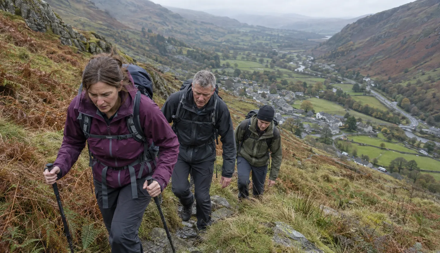
The climb is steep, and the only respite is the summit.
Mud and Routes calls it a “beast of an ascent”. It describes “a sadistic 800m of largely slogging on a steep slope”, with the only respite the summit.
Get Lost’s route up from the car park goes like this:
- Walk towards Llanberis along the main road, past the Vaynol Arms pub.
- Take the first road on the right, just before a chapel.
- Go up the left side of a campsite to a white cottage, then follow the stiles to the path beside the Afon Dudodyn.
- Follow the path or track to a footbridge with a handrail, then cross the stream.
- Climb north across the side of the mountain.
- Higher up, the path zig-zags through a boulder field.
A hydro track goes up Cwm Dudodyn for some distance. The path crosses it, and the crossing is signed.
The mapped path to the ridge at the head of the valley is “horribly eroded” and best avoided.
The boulder summit
The BMC lists Elidir Fawr at 924 m (3,031 ft), which makes it one of the Welsh 3000s.
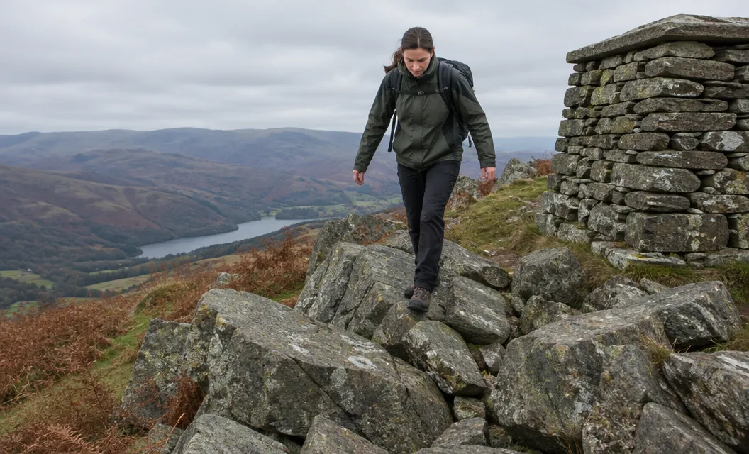
The path peters out about 50 m south of the summit. A short rough section then leads to the large shelter cairn.
A UKHillwalking route card calls it “often the choice of the connoisseur when a quick 3000er is the order of the day”.
Marchlyn Mawr and the power station inside the mountain
Dinorwig power station was built inside Elidir Fawr.
The upper reservoir, Marchlyn Mawr, feeds it. The water collects in the lower reservoir, Llyn Peris.
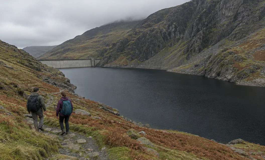
On the ridge, the route crosses Bwlch y Marchlyn, a narrow rocky arete overlooking the reservoir to the north. An easier path runs below on the right.
Get Lost calls the arete “reasonably straightforward in dry and calm conditions”.
The BMC’s access database says the Upper Dinorwig quarries are mainly owned by First Hydro. Access away from the designated footpaths is not permitted by the landowners, so stay on the public paths around the Dinorwig quarries.
Choosing the way down
Both ways down end back at Nant Peris.
Back by Bwlch y Brecan. This is Get Lost’s route. It returns by the grassy Bwlch y Brecan, passing below Foel Goch and Bwlch y Cywion. It then turns south-west down the Esgair y Ceunant ridge above Cwm Dudodyn, out by the Afon Dudodyn. It is 10 km and approximately 6 hours.
On over Y Garn. Mud and Routes calls the path from the summit “rocky and narrow, but easy to follow”. It has 3 km of high-level walking and no climbing before Y Garn.
Its round from Nant Peris over Elidir Fawr and Y Garn:
- is 13 km, with 1100 m of ascent;
- takes 4 hours and has a grade of Hard;
- comes down Llwybr y Carw.
Avoid two wrong turns: “the path that contours right” and “the second path that takes you up Foel-goch”. The path up Y Garn is steep and zig-zags.
Llwybr y Carw is “often steep and loose, usually with more than one option”. One point needs care: “be careful at one point as the path stops in a sheer drop!”
Where Llwybr y Carw stops in a sheer drop, take the footpath to the left.
The route up Y Garn from Ogwen reaches the same summit from the other direction.
Get Lost says Elidir Fawr is “difficult to incorporate into a circular walk which takes in all the other Glyderau”. It says it is possible if one starts at Ogwen Cottage.
None of the Sherpa’r Wyddfa routes on its timetable page ends at Ogwen, so plan your way back before you set off.
The plan in short
Park at Nant Peris with a card. Climb beside the Afon Dudodyn, cross the footbridge and follow the zig-zags through the boulder field to the summit.
Come down by Bwlch y Brecan and the Esgair y Ceunant ridge, or go on over Y Garn.