Can you manage the Pyg Track? If you are fit, experienced on rough ground and can navigate with a map, yes.
It is graded hard by the Eryri National Park Authority, the public body that runs the park. Allow about six hours for 6.8 miles there and back, with 895 metres of climbing.
The path is steep and rocky, and the place where a wrong turn matters most is a fork early on.
Getting to Pen-y-Pass
The Pyg Track starts at Pen-y-Pass car park. The Sherpa’r Wyddfa bus is the service that links the towns with the Snowdon trailheads.
- Routes S1, S2 and S5 all stop at Pen-y-Pass.
- Journey times run from about 15 minutes from Nant Peris to about 45 from Caernarfon.
The Authority recommends the Sherpa’r Wyddfa bus for getting to the Snowdon area.
If you drive, whether the car park has space is a separate question, answered in parking in Snowdonia.
Pen-y-Pass to Bwlch y Moch
Start in the far corner of the car park, to the right of the entrance.
Pass the helicopter landing site on your right and go through a narrow gap in a stone wall.
The prominent path opposite the entrance is the Miners’ Track, so check which one you are on.
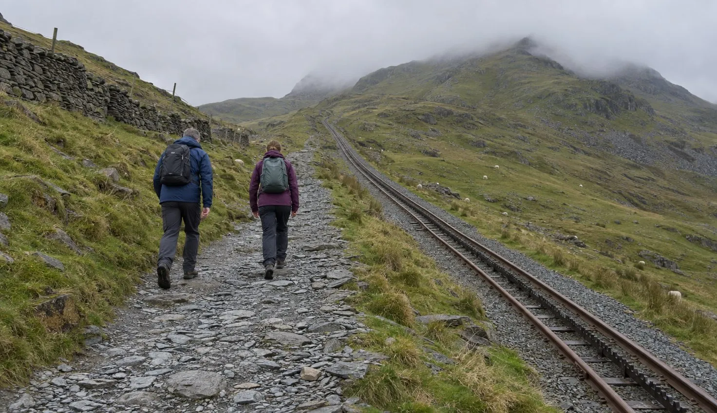
The first section climbs steeply over rough, rocky ground.
The Authority advises treading carefully here to avoid an ankle injury, especially on the way down.
Expect about an hour to reach Bwlch y Moch.
Turn back here if you are already struggling, or if the weather is already more than you can handle.
The fork at Bwlch y Moch
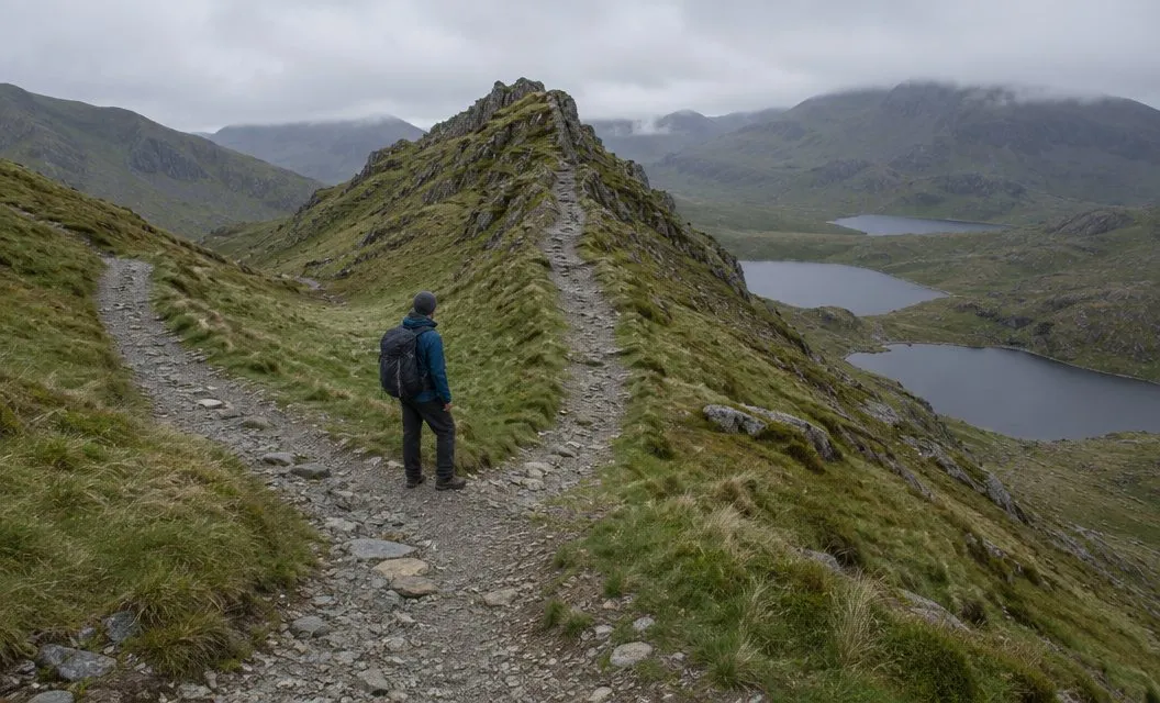
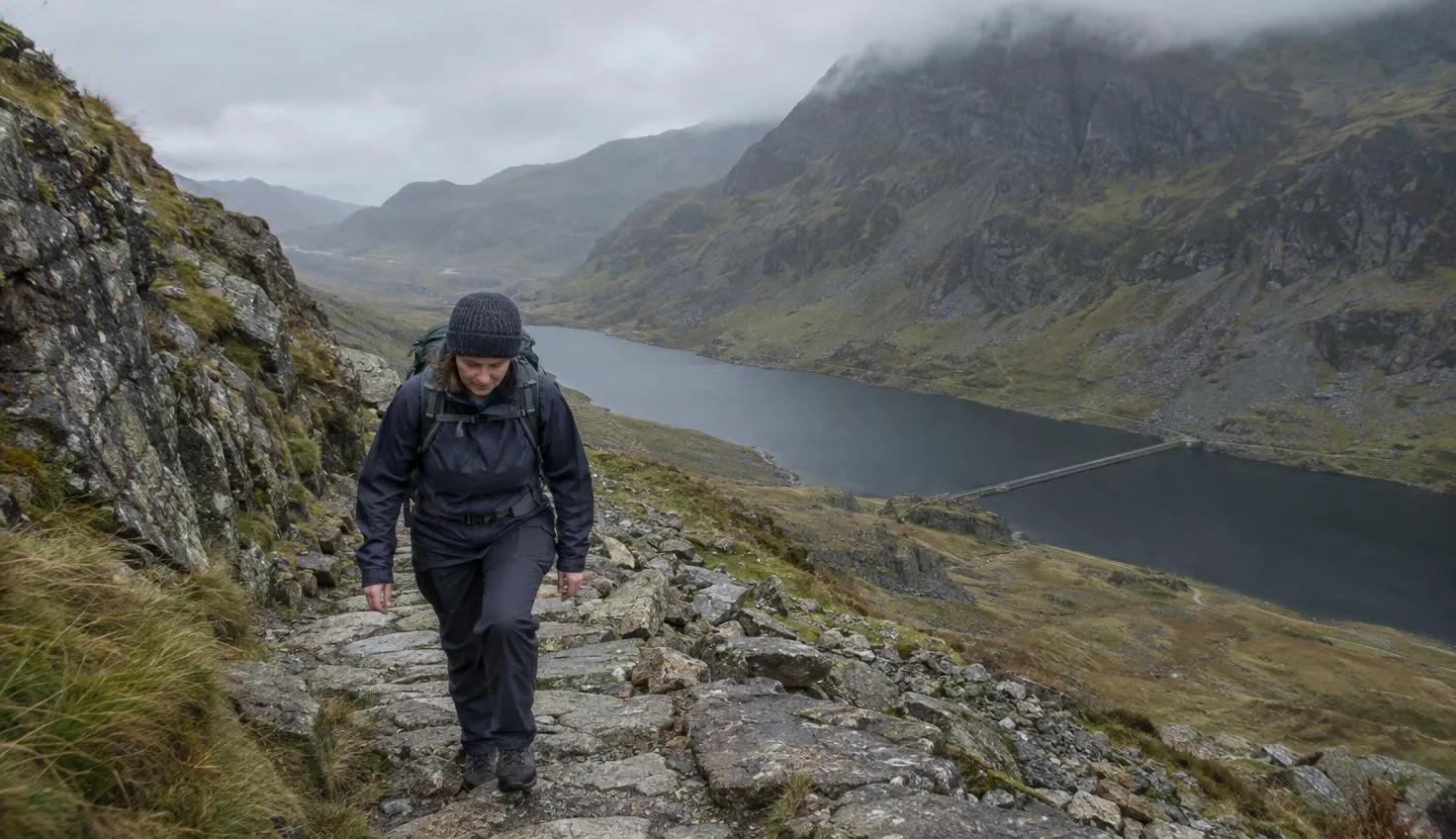
Llyn Llydaw, a lake, comes into sight below as you arrive.
The path forks.
The path on the right leads up Crib Goch. For Snowdon, bear left and over the two stiles side by side.
The Authority describes Crib Goch as a 500 metre knife-edge ridge with no escape route, and calls the route up it extremely dangerous.
If you have crossed the two stiles, you are on the Pyg Track.
Bwlch y Moch to Bwlch Glas
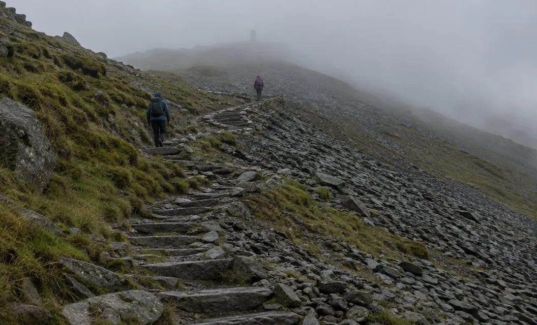
From here the path climbs gradually towards the point where the Pyg Track and the Miners’ Track meet, above another lake, Llyn Glaslyn. A standing stone marks the spot.
Notice that standing stone. You will want it again on the way down.
From the stone the path climbs steeply over the rocky upper section. Further on it zig-zags up to Bwlch Glas, the pass where the route meets the Llanberis Path and the Snowdon Ranger Path.
Turn back here if your legs are tired and the zig-zags are still ahead of you.
Bwlch Glas to the summit
A second standing stone marks the junction at Bwlch Glas.
Remember this one too.
Follow the path to the left.
At a leisurely pace the summit is about a quarter of an hour away.
The Authority says conditions can change within minutes. The summit is much colder, wetter and windier than the start.
If the weather is too much for you, turn back immediately. Read the mountain forecast for Snowdonia before you set off.
Is the Pyg right for you?
To weigh it against the other routes, read which path up Snowdon. For hours on the hill, see how long it takes to climb Snowdon.
The Authority calls the Pyg one of the shortest routes up Yr Wyddfa, and also one of the most rugged and challenging.
Trainers are not suitable.
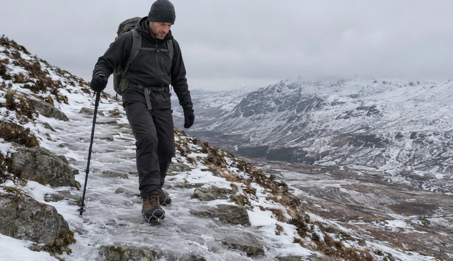
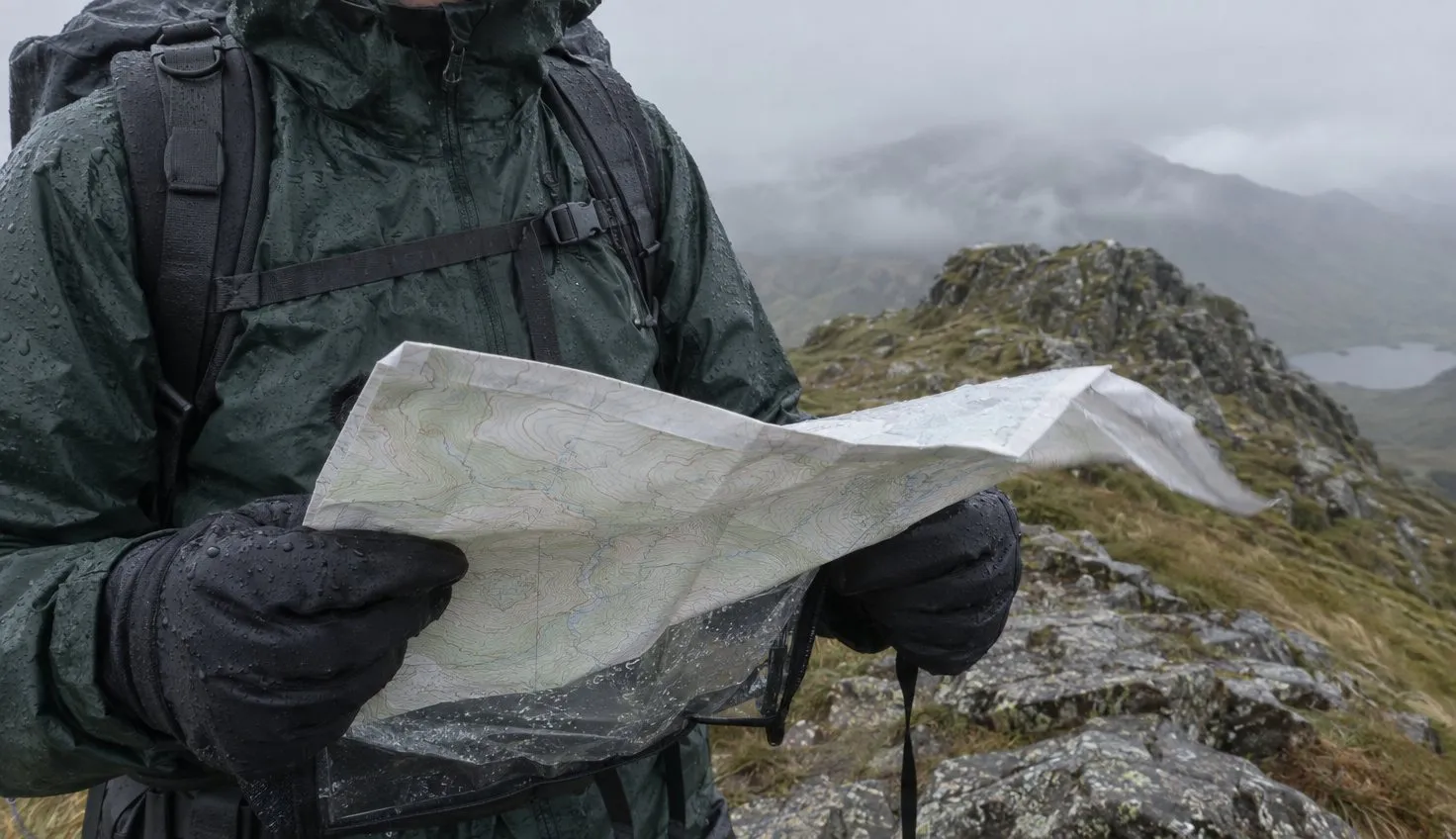
Take boots, waterproof layers, a map and compass, food, drink and a torch in case you finish after dark.
We compile and explain public route and safety information. We guide nobody and sell nothing on the hill.
Choosing your way down
Come down the way you went up. The National Park publishes the Pyg Track as a there-and-back walk, and the two standing stones are the landmarks it tells you to remember.
You already know that ground: the two standing stones mark the junctions to watch, then the fork at Bwlch y Moch. At Bwlch y Moch, stay on the path you came up and away from Crib Goch.
The Miners’ Track also joins at the lower standing stone and ends at Pen-y-Pass. It is a different path from the one you came up, so take it down only if you have read its route first.