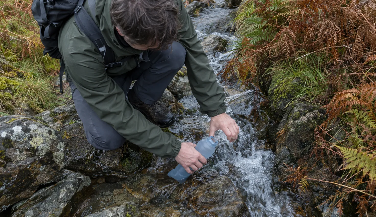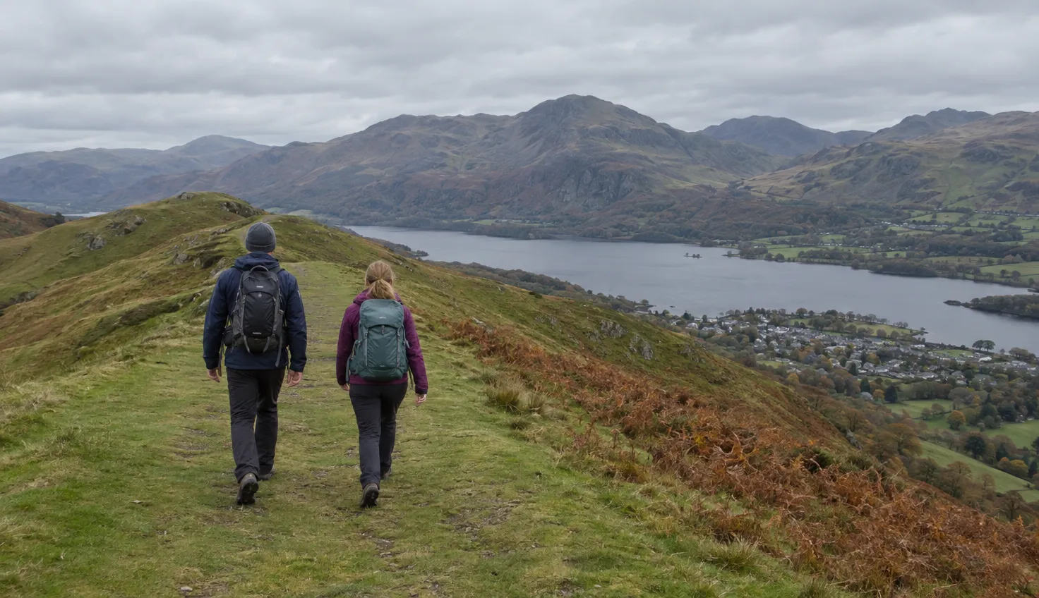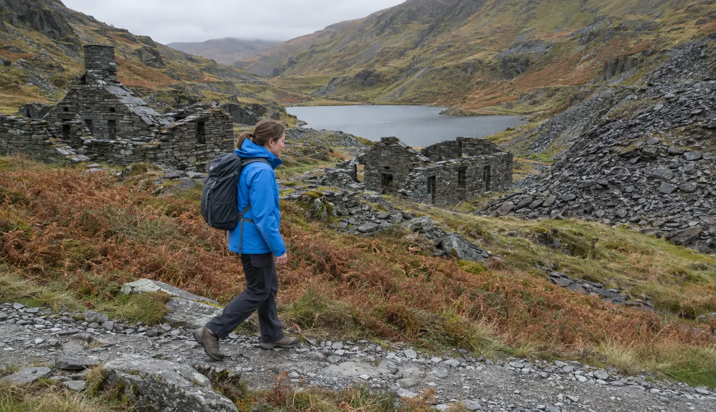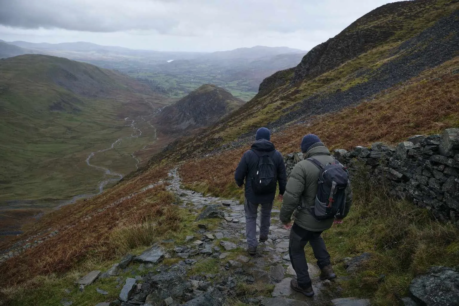
The Eryri (Snowdonia) National Park Authority gives six hours for five of Snowdon’s six paths, and seven hours for the Llanberis Path. It rates every one of them Hard or Strenuous.
Elsewhere online you will often see the Miners’ Track quoted at four to five hours. The National Park’s own route pages do not say that.
The number that decides your day is what time the walking estimate forces you to leave the car park.
The quick answer, route by route
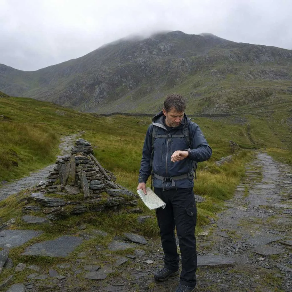
All six paths are rated Hard/Strenuous. Allow six hours, or seven on the Llanberis Path. Each figure is for the walk there and back, not a one-way climb.
| Path | Round trip | Ascent |
|---|---|---|
| Llanberis | 14.5 km | 975 m |
| Pyg Track | 11 km | 895 m |
| Miners’ Track | 13 km | 723 m |
| Watkin Path | 13 km | 1,015 m |
| Rhyd Ddu | 12 km | not given |
| Snowdon Ranger | 13 km | 936 m |
The Watkin Path is the biggest climb of the six.
If you have not chosen yet, which path up Snowdon suits your group comes first.
Why your day runs longer than the walking time
Stops, photos, a crowded summit and a mixed-ability group can easily add an hour or more to the National Park’s number.
Ordnance Survey explains that breaks, refreshments and photographs all add time, and the larger the group, the slower it moves.
On a fine day, real time can disappear in the queue at the summit pillar before you start down.
Snowdonia can also turn fast. Stopping twice to change a layer costs real minutes.
How to work out your own time
Ordnance Survey still uses a rough formula from a Victorian Scottish mountaineer named Naismith. Allow one hour for every five kilometres walked, then add one hour for every 600 metres climbed.
It assumes one fit person walking briskly, not a group of mixed ages carrying a picnic. It also counts only the climb, not the way down.
Try it on the Pyg Track. Eleven kilometres comes to a little over two hours, and climbing 895 metres adds roughly one and a half more.
That is well under four hours in total, against the six the National Park allows.
Naismith’s raw formula falls more than two hours short of the National Park’s figure.
A simpler Ordnance Survey shortcut is to add ten minutes for every 100 metres you climb. It lands close to the same number.
The descent is not the easy half
The National Park’s six or seven hours already include coming back down.
Ordnance Survey wants fewer walkers left overdue on the hill after dark. A better estimate can prevent the mountain rescue call-out that follows.
A steep, rocky descent on tired legs takes real time, whatever the ascent figure suggested.
Budget for it going down, not just going up.
Working backwards to a start time
Instead of asking how long the walk takes, ask what time you need to leave. Start with today’s actual sunset, not a number you remember from a previous trip.
- Sunset: check today’s, then count back.
- Last bus: the Sherpa’r Wyddfa network runs five linked services, S1 to S5, between the main trailheads. Check today’s last bus on the current timetable before you set off.
- Parking: the Watkin Path’s Nant Gwynant car park is often full by 7:30am, according to the National Park, and parking there is generally extremely limited.
Booking ahead or taking the bus is the National Park’s own advice for that route.
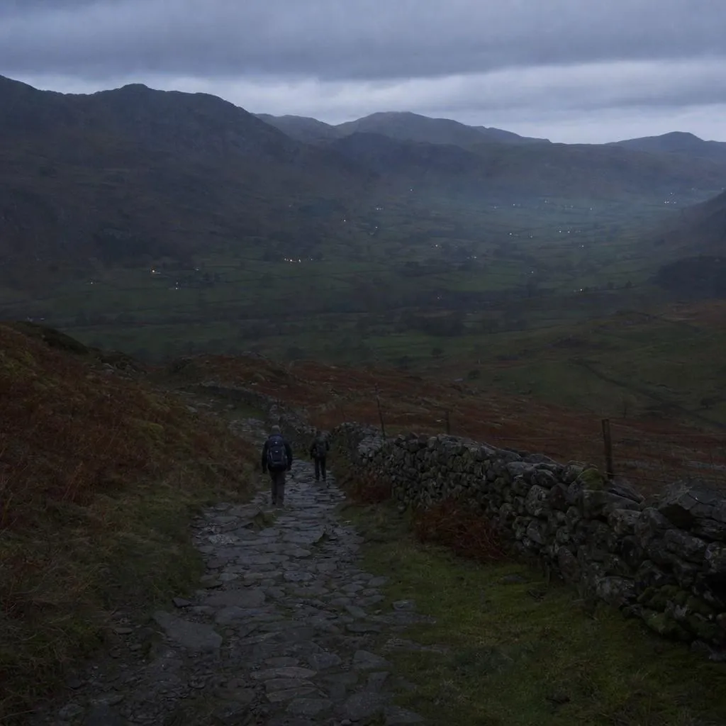
Take a head torch if working backwards leaves you finishing anywhere near sunset.
The battery matters more than the beam. The pick in the head torch comparison is the Ledlenser MH5, the only one there that also runs on an ordinary AA battery you can buy in any shop.
The Amazon link above is an affiliate link. Should you buy through it, a small commission comes back to the site, and your price stays as it was.
Who is slower, and why that’s fine
The National Park says every route on the mountain needs a good level of fitness and solid navigation skills.
A first Snowdon, a walk with children, or a large mixed-ability group will all run past the National Park’s hours. That is normal.
Winter changes the arithmetic further. Shorter daylight and harder underfoot conditions eat into a budget that was already tight in summer.
Moving slower is normal; the real risk is not planning around it.
Start in the dark, finish in the light
Add the walking time, the stops, the descent, the last bus and a car park that may already be full.
If the sums leave you short on daylight, Ordnance Survey says plainly that walkers are generally much better off “starting in the dark and finishing in the light” than risking the alternative coming down.
We compile and explain public route and safety information. We guide nobody and sell nothing on the hill.
Set off before dawn if the numbers say so. That is better than finding out on the descent that you left it too late.