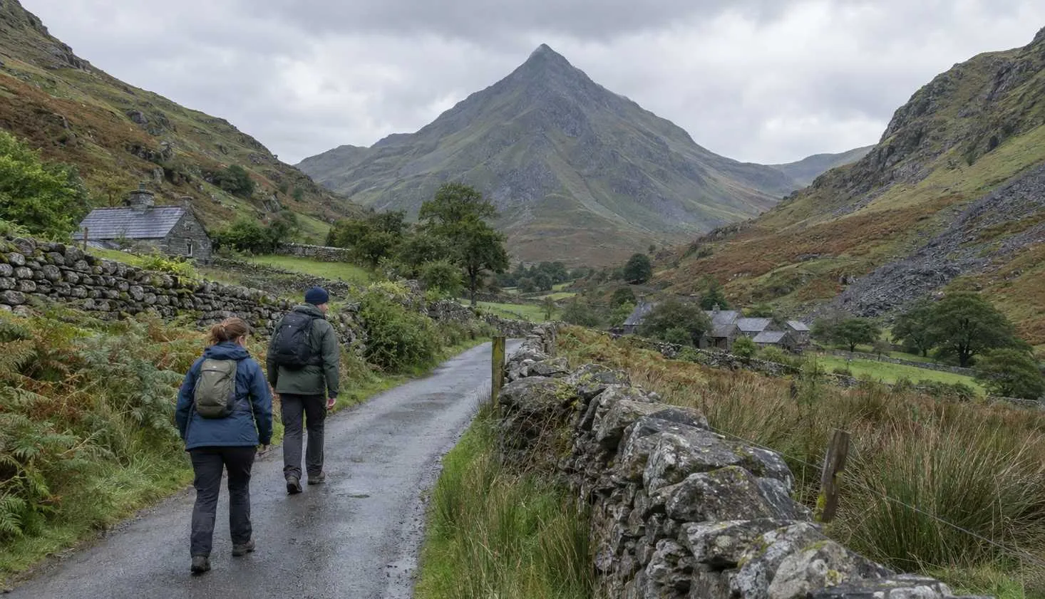
Drive north out of Porthmadog on a clear afternoon and one mountain stands apart from the rest.
It rises to a point, with a steep face on either side, and looks like it needs a rope. That is Cnicht, and its nickname is the Welsh Matterhorn.
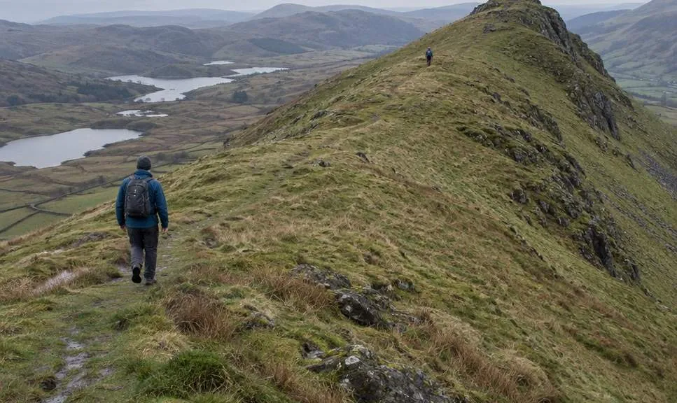
Cnicht is a ridge seen end-on, and the walk up it is a moderate half day from a village car park.
The pointed shape is a trick of the angle.
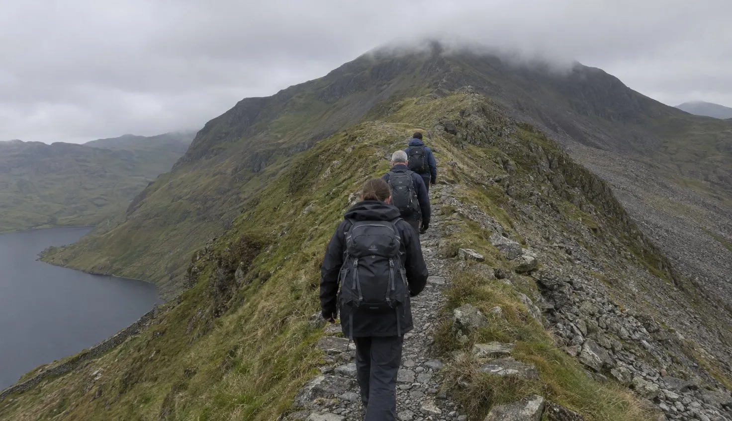
Turn ninety degrees and the pyramid becomes a long, gentle whaleback with the summit at its far end.
There are two short scrambles near the top. There is a car park at the bottom. In between is one of the least crowded good hills in Eryri.
Why it looks like a Matterhorn and is not one
The National Park Authority explains the shape better than any photograph.
The valley below was scoured by a glacier in the last Ice Age, between 26,000 and 11,000 years ago. The softer rock went. The harder igneous rock that forms Cnicht and its neighbour Moelwyn Mawr stayed.
A true horn, the Authority says, is “created by glacial excavation in four directions” and is common in the Alps. In Wales the shape “is less perfectly developed”.
By the Park Authority’s own account, Moelwyn Mawr is the closer copy of a Matterhorn. Cnicht just has the better angle.
Walking Britain puts the same thing in a walker’s terms. The summit “is the end of fine ridge”, and the pyramid “is in fact a cross section of the mountain”.
Once you know that, the route makes sense.
You walk up the ridge, not up the face.
The route from Croesor, in numbers
Two public guides start from the same village and go to different places, so it pays to know which one you are following.
| Guide | Reaches the summit? | Distance | Ascent | Time | Grade |
|---|---|---|---|---|---|
| Walking Britain: Cnicht from Croesor | Yes | 6.3 miles | 515 m | 4 hours 30 | Moderate |
| Eryri National Park: Croesor Circular | No | 5.5 km | Not stated | 3 hours | Moderate |
Distances are in miles to match the signage, except where a source only gives kilometres. Heights are in metres to match the maps.
The Park Authority’s circular is a valley and hillside walk through the old quarry ground. It stays below the mountain.
The Walking Britain route is the one that climbs it. It starts from “a small car park in Croesor”, grid reference SH 631446, and leaves the village “up past the school and chapel”.
The summit is 689 metres by Walking Britain’s figure, which is lower than Moel Siabod and a good deal lower than Tryfan.
That height is the point. A 515-metre ascent spread over three miles of ridge is a steady climb, and the guide describes it as “climbing gently at first”.
The two short scrambles
Near the top, the guide says, “the way steepens and there are a couple of short scrambles before you reach the summit”.
That is the whole of the technical difficulty on this mountain.
It is worth being precise about what it means.
- A short scramble is a few metres of rock where you use your hands for balance.
- Neither guide describes exposure on it, and neither grades it.
- The Park Authority’s own route avoids it altogether by not going to the top.
A short scramble is a few metres of rock where you use your hands for balance.
If the rocky steps on the Miners’ Track did not trouble you, these will not either.
For comparison, the ridge on Moel Siabod is a graded grade 1 scramble that you can walk round. Cnicht’s rock steps are shorter than that and there is no grading on them at all. Crib Goch is a different sport.
Over the top is where the navigation starts
Most first-time visitors expect the difficulty to be the climb.
On Cnicht it is the descent.
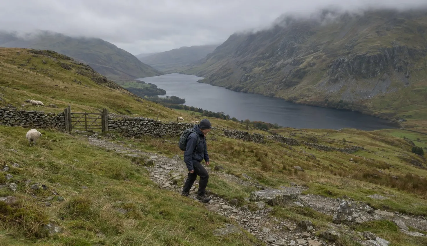
Walking Britain’s route does not return along the ridge. It continues north-east to the shore of Llyn yr Adar and then turns for home across open moorland.
The guide calls this “wild country” with “the walkers relatively few”. It describes the path towards Cwm Corsiog as “in places very sketchy”.
The mountain is easy to climb and easy to lose your line on afterwards.
From there the route drops west to Llyn Cwm-y-foel, following “one of the small streams that tumble down the mountainside”. It crosses the dam and picks up a clear path back into Cwm Croesor.
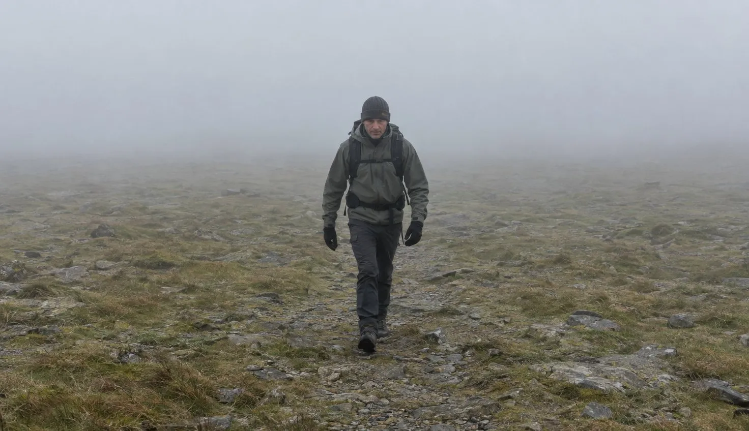
In clear weather this is a lovely, lonely hour. In cloud it is a map-and-compass hour, and the right OS sheet for this corner matters more here than on the summit. The Park Authority lists OL18 for Croesor.
If you would rather not, go back the way you came. The ridge is obvious in both directions.
The valley you walk home through
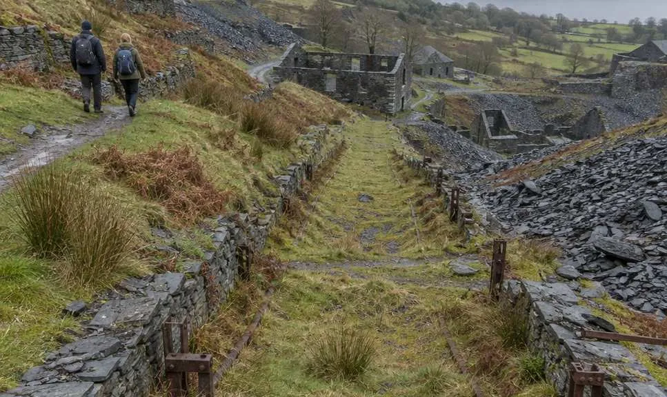
Cwm Croesor is not empty ground. It is a worked landscape, and the Park Authority’s guide is largely about that.
- Croesor Quarry opened around 1856.
- Between 1865 and 1930 it produced around 2,000 tons of slate a year, cut for billiard tables, gravestones and floor slabs.
- Its manager from 1895, Moses Kellow, ran the quarry and his house on a 350 kW hydro-electric plant from 1904.
- The slate left by the Croesor Tramway, parts of which you can still walk, or down inclines like the Rhosydd Incline at the head of the cwm.
The last hour of the walk passes through a quarry that ran on its own hydro-electric plant from 1904.
You will see the inclines and the tramway bed on the way down. None of it is signed as an attraction, which is part of why Croesor feels the way it does.
Who Cnicht is for, and who should wait a season
This is a good second mountain, and a good first one for someone who has already done a rough valley walk.
- Both guides grade it moderate.
- The Park Authority says the ground “will be wet and steep” in places, with boots and waterproofs essential.
- Dogs go on a lead, because the route crosses farmland.
Wait if you have not yet walked on a path that stops being a path.
The stretch past Llyn yr Adar is that kind of ground. A first day on the Llyn Idwal loop or a valley walk teaches you what a faint path looks like. Learn that before you need to follow one.
Check the Snowdonia mountain forecast for cloud base rather than rain. Cnicht in rain is fine. Cnicht with the top in cloud takes away the only reason to go past the summit.
We compile and explain public route and safety information. We guide nobody and sell nothing on the hill.
Park in the village car park, not on the lane. It is small, and on most days that is all the space Croesor has.